Sioux City in Woodbury County, Iowa — The American Midwest (Upper Plains)
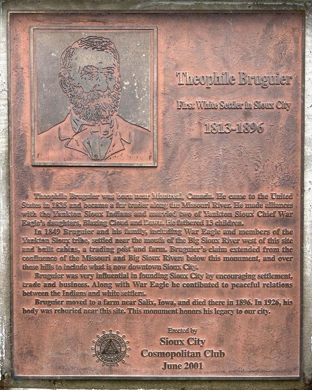
Theophile Bruguier
First White Settler in Sioux City
| — | 1813-1896 | — |
September 26, 2026
1. Theophile Bruguier Marker
In 1849 Bruguier and his family, including War Eagle and members of the Yankton Sioux tribe, settled near the mouth of the Big Sioux River west of this site and built cabins, a trading post and farm. Bruguier's claim extended from the confluence of the Missouri and Big Sioux Rivers below this monument, and over these hills to include what is now downtown Sioux City.
Bruguier was very influential in founding Sioux City by encouraging settlement, trade and business. Along with War Eagle he contibuted to peaceful relations between the Indians and white settlers.
Bruguier moved to a farm near Salix, Iowa, and died there in 1896. In 1926, his body was reburied near this site. This monument honors his legacy to our city.
June 2001
Erected 2001 by Sioux City Cosmopolitan Club.
Topics. This historical marker is
this page online
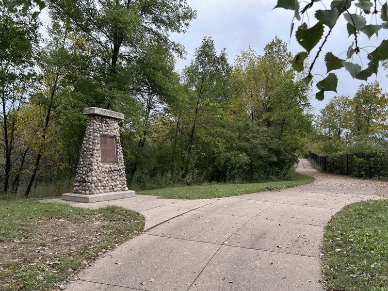
Location. 42° 29.64′ N, 96° 27.218′ W. Marker is in Sioux City, Iowa, in Woodbury County. It can be reached from War Eagle Drive north of Grove Street. Located in War Eagle Park. Touch for map. Marker is at or near this postal address: 4000 War Eagle Dr, Sioux City IA 51103, United States of America. Touch for directions.

Regionally, this marker is in Western Iowa and in Loess Hills. It is also in the American Midwest, in the Lewis & Clark Corridor, and in the Corn Belt. Globally, it is in North America, the Western Hemisphere, the Western World, and the Anglosphere. Historically, it finds itself in what was once the territory of the Mississippian Culture and also the Louisiana Purchase.
Other nearby markers. At least 8 other markers are within 2 miles of this marker, measured as the crow flies: Peace and Friendship (a few steps from this marker); Chief War Eagle (about 300 feet away, measured in a direct line); The Old Missouri River Trail (about 700 feet
September 26, 2026
2. Theophile Bruguier Marker
Also see . . . Bruguier, Theophile — Sioux City Public Museum. (Submitted on November 7, 2026.)
September 26, 2026
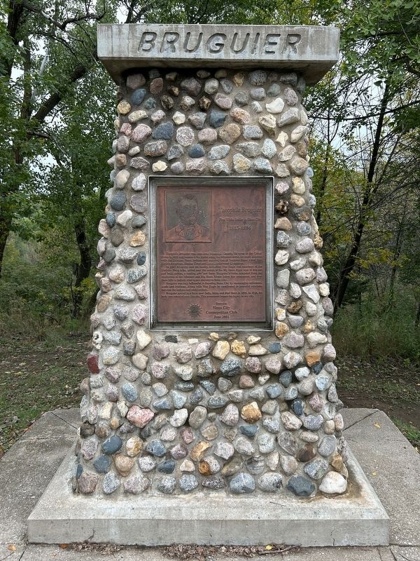
3. Bruguier Monument
Credits. This page was last revised on November 8, 2026. It was originally submitted on November 7, 2026. This page has been viewed 13 times since then. Photos: 1, 2, 3. submitted on November 7, 2026.
