Tiburon in Marin County, California — The American West (Pacific Coastal)
The Tiburon Peninsula Historical Trail

Photographed by Joseph Alvarado, July 30, 2022
1. The Boat Works Marker
The Tiburon Historical Trail is a joint project of the Tiburon Peninsula Foundation and the Belvedere-Tiburon Landmarks Society. This trail runs between Blackie’s Pasture and the Donahue Depot in downtown Tiburon. The early photographs below were taken from the location of this panel.
Erected by Tiburon Peninsula Foundation, Belvedere-Tiburon Landmarks Society. (Marker Number 5.)
Topics.
this page online
Location. 37° 53.166′ N, 122° 28.468′ W. Marker is in Tiburon, California, in Marin County. It is at the intersection of Tiburon Boulevard (California Route 131) and Gilmartin Drive, on the left when traveling north on Tiburon Boulevard. The marker is mounted to a metal post between the Tiburon Linear Park and Tiburon Boulevard. Touch for map. Marker is at or near this postal address: 779 Tiburon Blvd, Belvedere Tiburon CA 94920, United States of America. Touch for directions.

Regionally, this marker is in the San Francisco Bay Area, in the North Coast, and specifically on the Coast Ranges. It is also on the American Pacific Coast. Globally, it is in North America, on the Ring of Fire, on the Pacific Rim, in the Western Hemisphere, in the Western World, and in the Anglosphere. Historically, it finds itself in what was once New Spain and also Mexico’s Alta California.
Other nearby markers. At least 8 other markers are within one mile of this
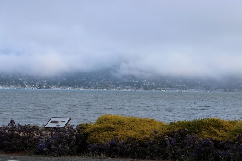
Photographed by Joseph Alvarado, July 30, 2022
2. The Boat Works Marker
Credits. This page was last revised on November 8, 2026. It was originally submitted on August 15, 2022, by Joseph Alvarado of Livermore, California. This page has been viewed 206 times since then and 32 times this year. Last updated on November 8, 2026, by Carl Gordon Moore Jr. of North East, Maryland. Photos: 1, 2. submitted on August 15, 2022, by Joseph Alvarado of Livermore, California. • Devry Becker Jones was the editor who published this page.
