Schuylerville in Saratoga County, New York — The American Northeast (Mid-Atlantic)
America’s Turning Point
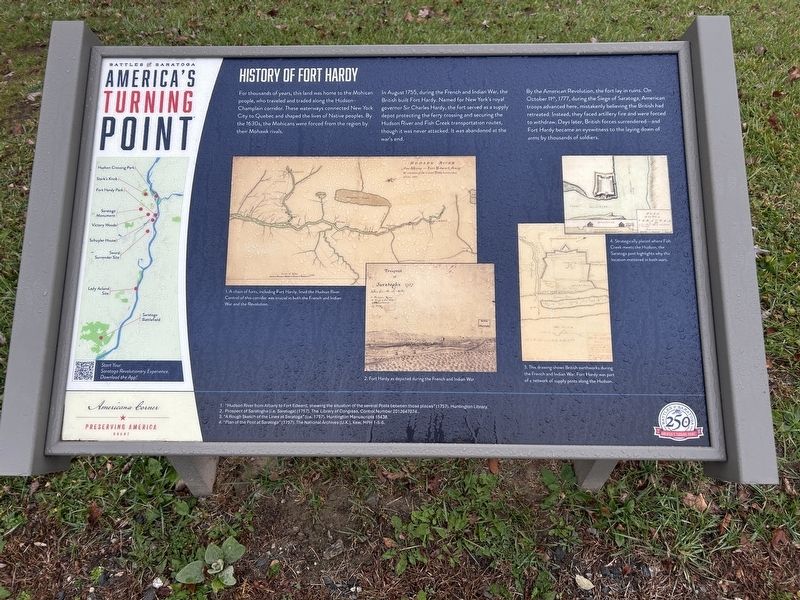
History of Fort Hardy
Photographed by Steve Stoessel, November 7, 2026
1. America’s Turning Point Marker
In August 1755, during the French and Indian War, the British built Fort Hardy. Named for New York's royal governor Sir Charles Hardy, the fort served as a supply depot protecting the ferry crossing and securing the Hudson River and Fish Creek transportation routes, though it was never attacked. It was abandoned at the war's end.
By the American Revolution, the fort lay in ruins. On October 11th, 1777, during the Siege of Saratoga, American troops advanced here, mistakenly believing the British had retreated. Instead, they faced artillery fire and were forced to withdraw. Days later, British forces surrendered -and Fort Hardy became an eyewitness to the laying down of arms by thousands of soldiers.
[ Drawing Captions: ]
1. A chain of forts, including Fort Hardy, lined the Hudson River. Control of this corridor was crucial in both the French and Indian War and the Revolution.
2. Fort Hardy as depicted during the French and Indian War.
3. This drawing shows British earthworks during the French and Indian War. Fort Hardy was part of a network of supply posts along the Hudson.
Erected by Battles
this page online
Topics. This historical marker is listed in these topic lists: Indigenous Peoples and Communities • War, French and Indian • War, US Revolutionary. A significant historical month for this entry is August 1755.
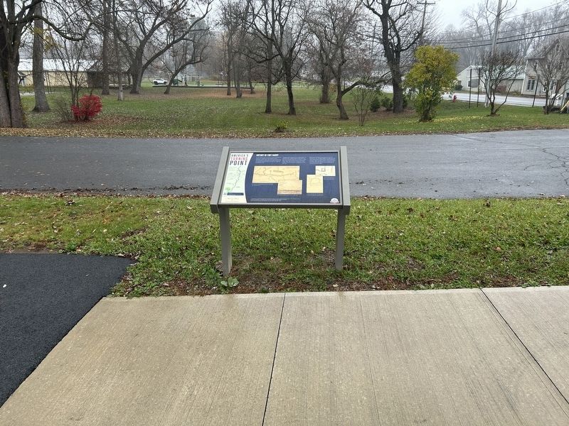
Location. 43° 5.987′ N, 73° 34.766′ W. Marker is in Schuylerville, New York, in Saratoga County. It is at the intersection of Reds Road and Ferry Street (New York State Route 29), on the left when traveling north on Reds Road. Touch for map. Marker is at or near this postal address: 30 Ferry St, Schuylerville NY 12871, United States of America. Touch for directions.

Regionally, this marker is in Upstate New York, in the Capital District, and in the Albany Metropolitan Area. It is also in the American Northeast and in the Mid-Atlantic. Globally, it is in North America, the Great North Woods, the Western Hemisphere, the Western World, and the Anglosphere. Historically, it finds itself in what was once New Netherland and also one of the original Thirteen Colonies.
Other nearby markers. At least 8 other markers are within walking distance of this marker: A different marker also
Photographed by Steve Stoessel, November 7, 2026
2. America’s Turning Point Marker
Credits. This page was last revised on November 8, 2026. It was originally submitted on November 8, 2026, by Steve Stoessel of Niskayuna, New York. This page has been viewed 3 times since then. Photos: 1, 2. submitted on November 8, 2026, by Steve Stoessel of Niskayuna, New York.
