
Near Hope in Kenai Peninsula Borough, Alaska — Northwest (North America)
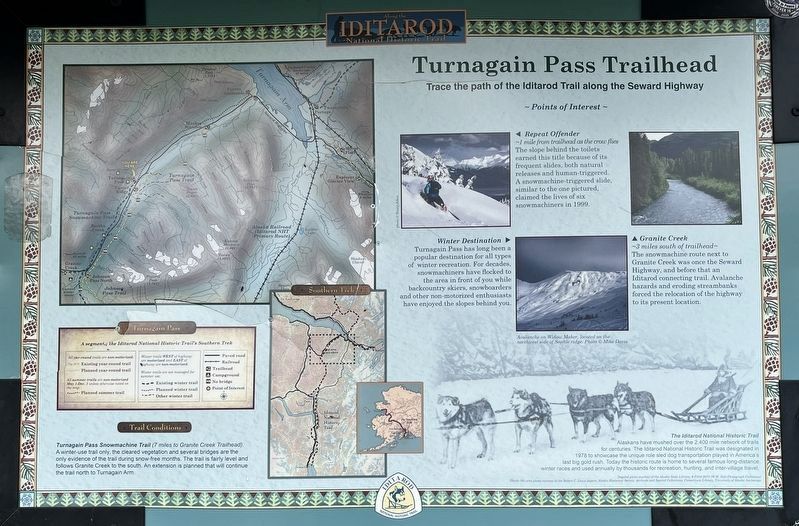
Turnagain Pass Trailhead
Trace the path of the Iditarod Trail along the Seward Highway
Photographed by Leslie Eudy, July 23, 2026
1. Turnagain Pass Trailhead Marker
Turnagain Pass Trailhead
Trace the path of the Iditarod Trail along the Seward Highway
~ Points of Interest ~
Repeat Offender
~1 mile from trailhead as the crow flies
The slope behind the toilets earned this title because of its frequent slides, both natural releases and human-triggered. A snowmachine-triggered slide, similar to the one pictured, claimed the lives of six snowmachiners in 1999.
Winter Destination
Turnagain Pass has long been a popular destination for all types of winter recreation. For decades, snowmachiners have flocked to the area in front of you while backcountry skiers, snowboarders and other non-motorized enthusiasts have enjoyed the slopes behind you.
Granite Creek
~3 miles south of the trailhead~
The snow machine route next to Granite Creek was once the Seward Highway, and before that an Iditarod connecting trail. Avalanche hazards and eroding streambanks forced the relocation of the highway to its present location.
The Iditarod National Historic Trail
Alaskans have mushed over the 2,400 mile network of trails for centuries. The Iditarod National Historic Trail was designated
this page online
Topics. This historical marker is listed in these topic lists: Parks & Recreational Areas • Roads & Vehicles.
Location. 60° 47.258′ N, 149° 12.847′ W. Marker is near Hope, Alaska, in Kenai Peninsula Borough. It is on Seward Highway, on the right when traveling south. Located at the Turnagain Pass Snowmobile Parking Lot. Touch for map. Marker is in this post office area: Hope AK 99605, United States of America. Touch for directions.

Regionally, this marker is in the Alaska Railroad Corridor, in the Alutiiq (Sugpiaq) Region, in the Athabascan Region, in the Prince William Sound, and in Southcentral Alaska. It is also on the American Pacific Coast. Globally, it is in North America, on the Ring of Fire, on the Pacific Rim, in the Western Hemisphere, in the Western World, and in the Anglosphere. Historically, it
Photographed by Leslie Eudy, July 23, 2026
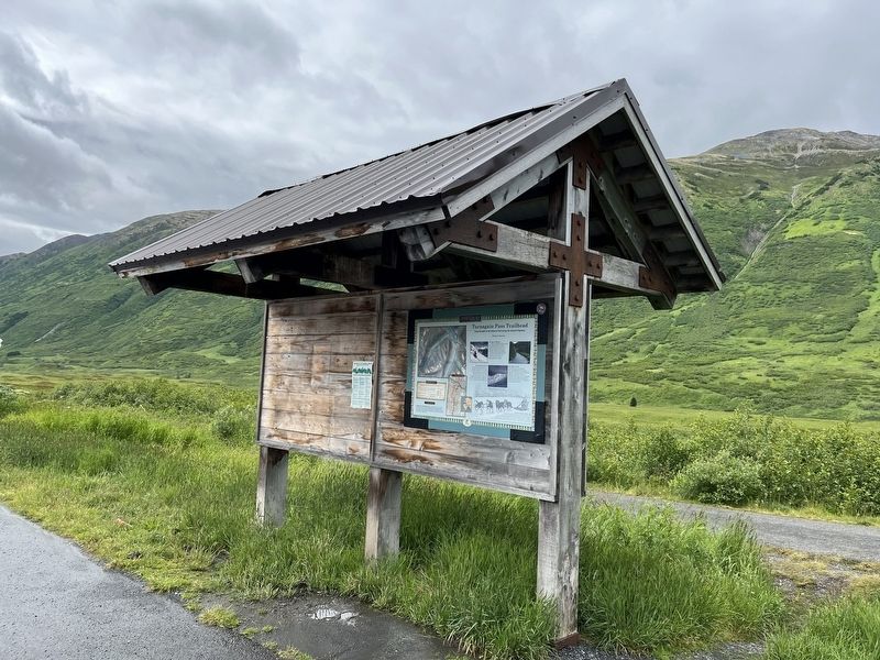
2. Turnagain Pass Trailhead Marker Wide View
Other nearby markers. At least 2 other markers are within 11 miles of this marker, measured as the crow flies: Crow Creek Boys (approx. 10.7 miles away); Sunrise City (approx. 10.7 miles away).
Photographed by Leslie Eudy, July 23, 2026
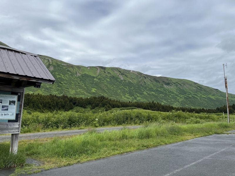
3. Turnagain Pass Trailhead View to the Right of the Marker
Arthur D. Mortvedt, Department of the Interior (courtesy National Archives st Seattle), 1974
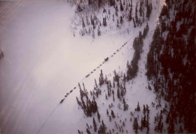
4. Dog teams on Iditarod trail
Credits. This page was last revised on November 13, 2026. It was originally submitted on November 10, 2026, by Leslie Eudy of Golden, Colorado. This page has been viewed 10 times since then. Photos: 1, 2, 3. submitted on November 10, 2026, by Leslie Eudy of Golden, Colorado. 4. submitted on November 11, 2026. • Andrew Ruppenstein was the editor who published this page.
