Macon in Bibb County, Georgia — The American South (South Atlantic)
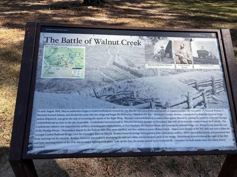
The Battle of Walnut Creek
| — | Ocmulgee National Monument | — |
Photographed by Benjamin Rubin, October 25, 2026
1. The Battle of Walnut Creek Marker
In early August 1864, Macon authorities began to build fortifications around the city, like the ones seen in this photograph of Atlanta trenches. On November 15, General William T. Sherman burned Atlanta, and divided his army into two wings and began his destructive "March to the Sea." Sherman's Cavalry division, commanded by Brigadier General Hugh Judson Kilpatrick, was given the task of screening the march of the Right Wing. Sherman ordered Kilpatrick to make a feint against Macon by sending his troops to strike the Georgia Central Railroad as close to the city as possible. Confederate General Joseph E. Wheeler moved at daylight on November 20th with all his available troops to meet the Federals. The Confederate infantry was supported by artillery, including gun emplacements, at Fort Hawkins, the Garrison Road, and covering the railroad bridge over Walnut Creek from the rear of the Dunlap House. Determined attacks by the Federal 10th Ohio were repelled, and they withdrew across Walnut Creek. Major Lewis Bowlus of the 9th Ohio was sent to burn the Georgia Central Railroad Bridge, over the Ocmulgee River at Macon. Bowlus
this page online
(captions) Brig. Gen. Hugh Judson Kilpatrick • Lt. Gen. Joseph E. Wheeler • Fort Hawkins, 1870s
Erected by National Park Service, U.S. Department of the Interior.
Topics. This historical marker is listed in these topic lists: Bridges & Viaducts • Forts and Castles • Parks & Recreational Areas • Railroads & Streetcars • War, US Civil. A significant historical date for this entry is November 21, 1864.
Location. 32° 50.654′ N, 83° 36.143′ W. Marker is in Macon, Georgia, in Bibb County. It can be reached from Ocmulgee National Park Road south of Emery Highway (U.S. 23), on the left when traveling south. Touch for map. Marker is at or near this postal address: 1207 Emery Hwy, Macon GA 31217, United States of America. Touch for directions.

Regionally, this marker is in the Piedmont. It is also in the American South and specifically in the Deep South. Globally, it is in North America, the Western Hemisphere, the Western World, and the Anglosphere. Historically, it finds itself in what was once the territory of the Mississippian Culture, one of the original Thirteen Colonies, one of the Confederate States of America, and the Antebellum South.
Other nearby markers. At least 8 other markers are within walking distance of this marker: Dunlap Mound (about 300 feet away, measured in a direct line); Battles of Dunlap Farm (about 600 feet away); William Bartram Trail (about 600 feet away); Ocmulgee National Monument (about 700 feet away); Yaupon Holly (approx. 0.2 miles away); The Civilian Conservation Corps (CCC) 1933-1942 (approx. 0.2 miles away); 17,000 Years of Continuous Human Habitation (approx. 0.2 miles away); The Dunlap House (approx. 0.2 miles away). Touch for a list and map of all markers in Macon.
Also see . . . Ocmulgee Mounds National Historical Park. National Park Service (Submitted on November 11, 2026.)
Credits. This page was last revised on November 11, 2026. It was originally submitted on November 11, 2026, by Benjamin Rubin of Columbia, South Carolina. This page has been viewed 4 times since then. Photo 1. submitted on November 11, 2026, by Benjamin Rubin of Columbia, South Carolina. • Bernard Fisher was the editor who published this page.
Editor’s want-list for this marker. Wide shot of marker and its surroundings. • Can you help?
