
Gettysburg in Adams County, Pennsylvania — The American Northeast (Mid-Atlantic)
Chambersburg Street
Chaos and Turmoil
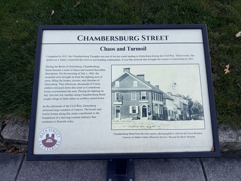
Completed in 1815, the Chambersburg Turnpike was one of ten key roads leading to Gettysburg during the Civil War. These routes, like spokes on a wheel, connected the town to surrounding communities. It was this network that brought the armies to Gettysburg in 1863.
During the Battle of Gettysburg, Chambersburg Street became a scene of chaos and turmoil that defies description. On the morning of July 1, 1863, the wounded were brought in from the fighting west of town, filling the homes, taversn, and churches of Gettysburg. That afternoon, thousands of Union soldiers retreated down this street as Confederate forces overwhelmed the area. During the fighting on July 2nd and 3rd, famlies along Chambersburg Street sought refuge in their cellars as artillery rained down.
In the aftermath of the Civil War, Gettysburg attracted large numbers of visitors. The hotels and tourist homes along this street contributed to the foundation of a thriving tourism industry that continues to flourish today.
Erected 2024 by Main Street Gettysburg. (Marker Number 3.)
Topics and series. This historical marker is listed in these
this page online
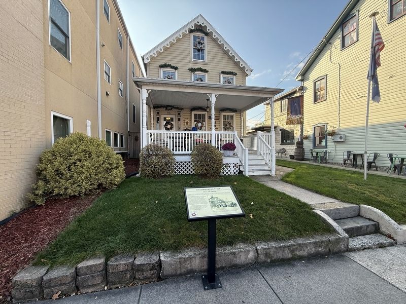
Location. 39° 49.849′ N, 77° 14.032′ W. Marker is in Gettysburg, Pennsylvania, in Adams County. It is on Chambersburg Street (Route 30) west of South Washington Street, on the left when traveling west. Touch for map. Marker is at or near this postal address: 110 Chambersburg St, Gettysburg PA 17325, United States of America. Touch for directions.

Regionally, this marker is in South-Central Pennsylvania. It is also in the American Northeast, in the Mid-Atlantic, in Appalachia, and specifically in Northern Appalachia. Globally, it is in North America, the Western Hemisphere, the Western World, and the Anglosphere. Historically, it finds itself in what was once the Haudenosaunee (Iroquois) Confederacy and also one of the original Thirteen Colonies.
Other nearby markers. At least 8 other markers are within walking distance of this marker: T.T. Tate House (a few steps from this marker); C.W. Hoffman House (a few steps from
Other markers no longer nearby. T.T. Tate House (was a few steps from this marker but has been reported to have been replaced with another marker now near it); the Eagle Hotel (was within shouting distance of this marker but has been replaced with another marker now near it).
Credits. This page was last revised on November 13, 2026. It was originally submitted on November 13, 2026, by Devry Becker Jones of Washington, District of Columbia. This page has been viewed 10 times since then. Photos: 1, 2. submitted on November 13, 2026, by Devry Becker Jones of Washington, District of Columbia.
