
Gettysburg in Adams County, Pennsylvania — The American Northeast (Mid-Atlantic)
Lincoln Cemetery
Segregated in Death
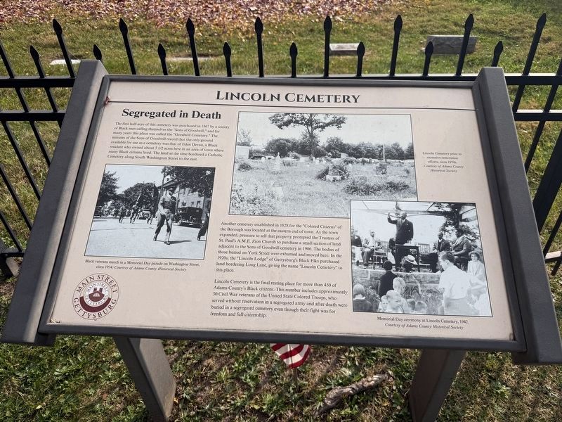
The first half-acre of this cemetery was purchased in 1867 by a society of Black men calling themselves the "Sons of Goodwill," and for many years this place was called the "Goodwill Cemetery." The minutes of the Sons of Goodwill record that the only ground available for use as a cemetery was that of Eden Devan, a Black resident who owned about 3 1/2 acres here in an area of town where many Black citizens lived. the land at the time bordered a Catholic Cemetery along South Washington Street to the east.
Another cemetery established in 1832 for the "Colored Citizens" of the Borough was located at the eastern end of town. As the town expanded, pressure to sell that property prompted the Trustees of St. Paul's A.M.E. Zion Church to purchase a small seciton of land adjacent to the Sons of Goodwill cemetery in 1906. The bodies of those buried on York Street were exhumed and moved here. In the 1920s, the "Lincoln Lodge" of Gettysburg's Black Elks purchased land bordering Long Lane, giving the name "Lincoln Cemetery" to this place.
Lincoln Cemetery is the final resting place for more than 450 of Adams County's Black citizens.
this page online
[Captions:]
Black veterans march in a Memorial Day parade on Washington Street, circa 1934. Courtesy of Adams County Historical Society
Lincoln Cemetery prior to extensive restoration efforts, circa 1970s. Courtesy of Adams County Historical Society
Memorial Day ceremony at Lincoln Cemetery, 1942.
Courtesy of Adams County Historical Society
Erected 2024 by Main Street Gettysburg. (Marker Number 32.)
Topics and series. This historical marker is listed in these topic lists: African Americans • Cemeteries & Burial Sites • Religion & Religious Structures • War, US Civil. In addition, it is included in the African Methodist Episcopal Zion (AME Zion) Church, and the Pennsylvania, Main Street Gettysburg series lists. A significant historical year for this entry is 1867.
Location. 39° 49.556′ N, 77° 14.141′ W. Marker is in Gettysburg, Pennsylvania, in Adams
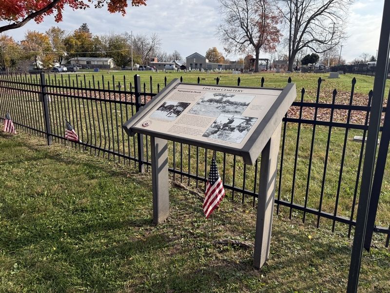

Regionally, this marker is in South-Central Pennsylvania. It is also in the American Northeast, in the Mid-Atlantic, in Appalachia, and specifically in Northern Appalachia. Globally, it is in North America, the Western Hemisphere, the Western World, and the Anglosphere. Historically, it finds itself in what was once the Haudenosaunee (Iroquois) Confederacy and also one of the original Thirteen Colonies.
Other nearby markers. At least 8 other markers are within walking distance of this marker: Monumental Stories (a few steps from this marker); a different marker also named Lincoln Cemetery (within shouting distance of this marker); a different marker also named Lincoln Cemetery (within shouting distance of this marker); Goodwill Cemetery (about 400 feet away, measured in a direct line); a different marker also named St. Paul's A.M.E. Zion Church (about 700 feet away); Mary Virginia Wade Lived in This House
Photographed by Devry Becker Jones (CC0), November 11, 2026
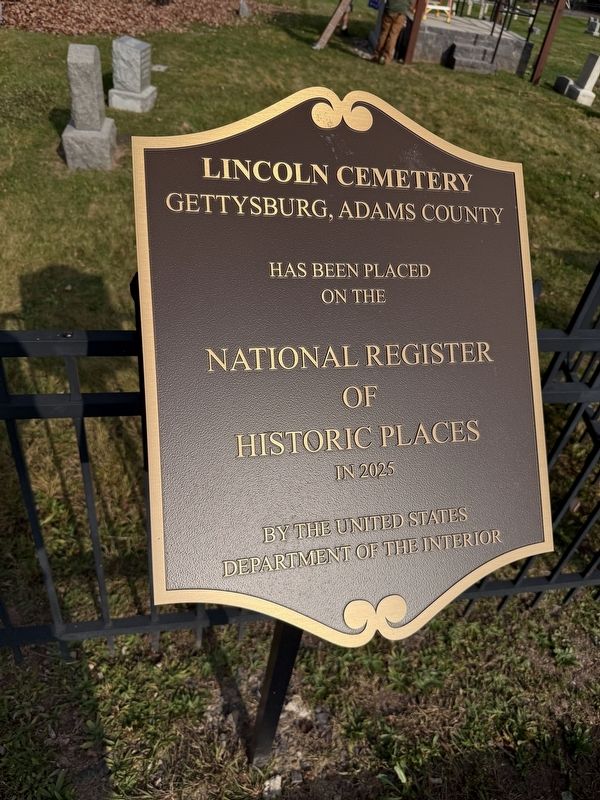
3. National Register of Historic Places plaque for the cemetery
Other markers no longer nearby. Where do we bury our dead? Lincoln Cemetery (was here, next to this marker but has been replaced with another marker now near it); Basil Biggs (was a few steps from this marker but has been replaced with another marker now near it); a different marker also named Lincoln Cemetery (was within shouting distance of this marker but has been replaced with another marker now near it); St. Paul's A.M.E. Zion Church (was about 700 feet away but has been replaced with another marker now near it).
Credits. This page was last revised on November 14, 2026. It was originally submitted on November 14, 2026, by Devry Becker Jones of Washington, District of Columbia. This page has been viewed 9 times since then. Photos: 1, 2, 3. submitted on November 14, 2026, by Devry Becker Jones of Washington, District of Columbia.
