
Medford in Middlesex County, Massachusetts — The American Northeast (New England)
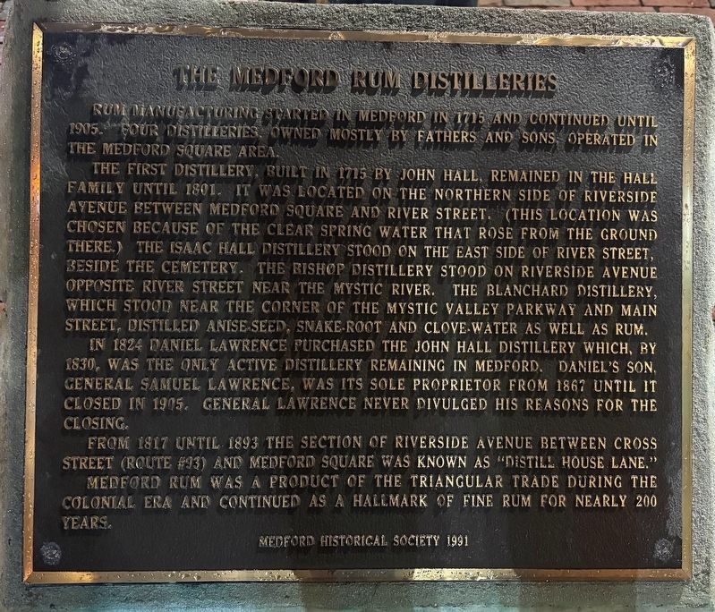
The Medford Rum Distilleries
Photographed by Sean P. Flynn, November 7, 2026
1. The Medford Rum Distilleries Marker
The first distillery, built in 1715 by John Hall, remained in the Hall family until 1801. It was located on the northern side of Riverside Avenue between Medford Square and River Street. (This location was chosen because of the clear spring water that rose from the ground there.) The Isaac Hall Distillery stood on the east side of River Street, beside the cemetery. The Bishop Distillery stood on Riverside Avenue opposite River Street near the Mystic River. The Blanchard Distillery, which stood near the corner of the Mystic Valley Parkway and Main Street, distilled anise seed, snake-root and clove water as well as rum.
In 1824 Daniel Lawrence purchased the John Hall Distillery, which, by 1830, was the only active distillery remaining in Medford. Daniel’s son, General Samuel Lawrence, was its sole proprietor from 1867 until it closed in 1905. General Lawrence never divulged his reasons for the closing.
From 1817 until 1893 the section of Riverside Avenue between
this page online
Erected 1991 by Medford Historical Society.
Topics. This historical marker is listed in these topic lists: Colonial Era • Food & Drink • Industry & Commerce • Roads & Vehicles. A significant historical year for this entry is 1715.
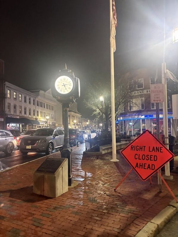
Location. 42° 25.094′ N, 71° 6.567′ W. Marker is in Medford, Massachusetts, in Middlesex County. It is at the intersection of Riverside Avenue and Salem Street (Massachusetts Route 60) on Riverside Avenue. The marker is in front of the clock, which is near the Rose M. Sloane Garden. Touch for map. Marker is in this post office area: Medford MA 02155, United States of America. Touch for directions.

Regionally, this marker is in Historic Boston and specifically in Greater Boston. It is also in the American Northeast, in New England, and on the Eastern Seaboard. Globally, it is in the North Atlantic Region, North America, the Western Hemisphere, the Western World, and the
Photographed by Sean P. Flynn, November 7, 2026
2. The Medford Rum Distilleries Marker
Other nearby markers. At least 8 other markers are within walking distance of this marker: “Jingle Bells” Composed Here (within shouting distance of this marker); Site of the Sarah Bradlee Fulton House (about 400 feet away, measured in a direct line); Salem Street Burying Ground (about 400 feet away); Cemetery for the Enslaved (about 400 feet away); Captain Isaac Hall Hitching Post (about 400 feet away); Medford Revolutionary War Memorial (about 400 feet away); Captain Isaac Hall (about 500 feet away); Mystic River (about 500 feet away). Touch for a list and map of all markers in Medford.
Also see . . . Medford Rum. From the Medford Historical Society and Museum. (Submitted on November 14, 2026, by Sean P. Flynn of Oak Park, Illinois.)
Photographed by Sean P. Flynn, November 7, 2026
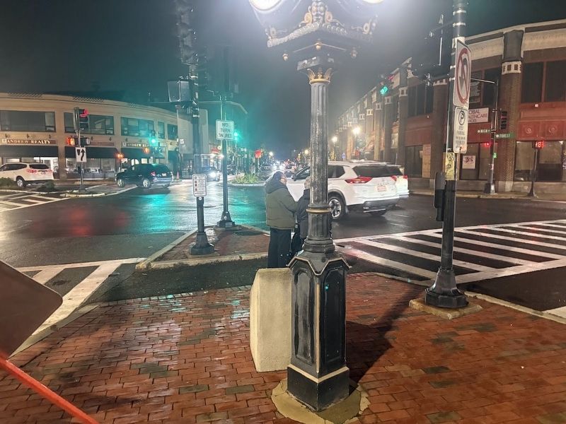
3. Rear view of the Medford Rum Distilleries Marker
Credits. This page was last revised on November 14, 2026. It was originally submitted on November 14, 2026, by Sean P. Flynn of Oak Park, Illinois. This page has been viewed 10 times since then. Photos: 1, 2, 3. submitted on November 14, 2026, by Sean P. Flynn of Oak Park, Illinois.
