
Lorton in Fairfax County, Virginia — The American South (Mid-Atlantic)
Revolutionary War Soldier William Lindsay
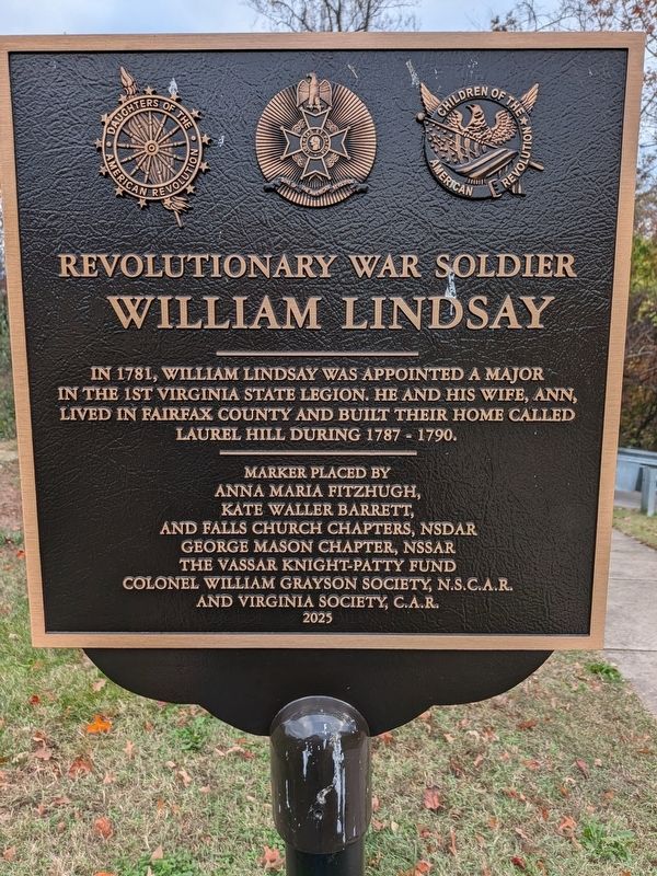
Photographed by Seva Zaslavsky, November 14, 2026
1. Revolutionary War Soldier William Lindsay Marker
Erected 2025 by Anna Maria Fitzhugh Kate Waller Barrett and Falls Church Chapter NSDAR, George Mason Chapter, NSSAR The Vassar Knight-Patty Fund Colonel William Grayton Society, N.S.C.A.R.and Virginia Society, C.A.R.
Topics and series. This historical marker is listed in these topic lists: Colonial Era • War, US Revolutionary. In addition, it is included in the Daughters of the American Revolution (DAR), and the Sons of the American Revolution (SAR) series lists. A significant historical year for this entry is 1787.
Location. 38° 42.582′ N, 77° 14.077′ W. Marker is in Lorton, Virginia, in Fairfax County. It can be reached from Guard Tower Road. There is a paved path just a few steps west of the guard tower that leads directly to the gravesite. Touch for map. Marker is at or near this postal address: 8381 Guard Tower Road, Lorton VA 22079, United States of America. Touch for directions.

Regionally, this marker is in the Washington
this page online
Other nearby markers. At least 8 other markers are within 2 miles of this marker, measured as the crow flies: Evolution of a Landscape – Plantation, Prison, Park (approx. ¼ mile away); Deputy Sheriff George A. Malcolm (approx. 0.9 miles away); Lorton Nike Missile Site (approx. one mile away); Lorton Station (approx. 1.1 miles away); Silverbrook United Methodist Church (approx. 1.2 miles away); Occoquan Workhouse (approx. 1.3 miles away); Development of a Progressive-Era Model Penal System (approx. 1.4 miles away); Prisoners at the Workhouse (approx. 1.4 miles away). Touch for a list and map of all markers in Lorton.
Also see . . . Laurel Hill House (Nathaniel Lee, Franconia History, LLC).
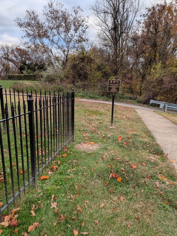
Photographed by Seva Zaslavsky, November 14, 2026
2. Revolutionary War Soldier William Lindsay Marker
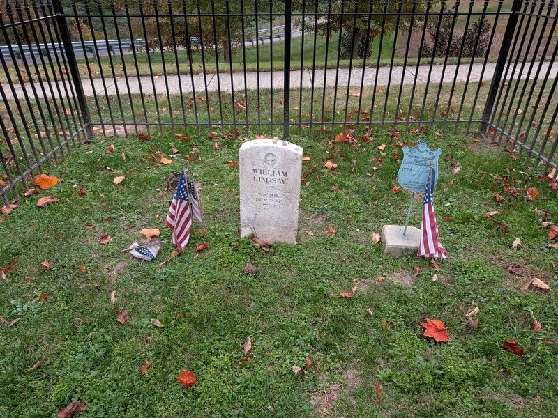
Photographed by Seva Zaslavsky, November 14, 2026
3. Revolutionary War Soldier William Lindsay grave
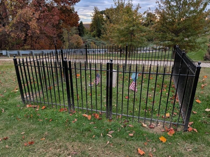
Photographed by Seva Zaslavsky, November 14, 2026
4. Revolutionary War Soldier William Lindsay grave and marker
Credits. This page was last revised on November 20, 2026. It was originally submitted on November 14, 2026, by Seva Zaslavsky of Maplewood, New Jersey. This page has been viewed 10 times since then. Photos: 1, 2, 3, 4. submitted on November 14, 2026, by Seva Zaslavsky of Maplewood, New Jersey. • Andrew Ruppenstein was the editor who published this page.
