
Sylmar in Los Angeles in Los Angeles County, California — The American West (Pacific Coastal)
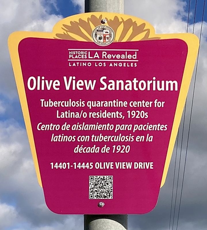
Olive View Sanatorium
Latino Los Angeles
| — | Historic Places LA Revealed | — |
Photographed by Craig Baker, November 14, 2026
1. Olive View Sanatorium Marker
Olive View Sanatorium, Tuberculosis quarantine center for Latina/o residents, 1920s.
Centro de aislamiento para pacientes latinos con tuberculosis en la década de 1920.
14401-14445 Olive View Drive
Erected 2026 by City of Los Angeles.
Topics. This historical marker is listed in these topic lists: Hispanic Americans • Science & Medicine. A significant historical year for this entry is 1924.
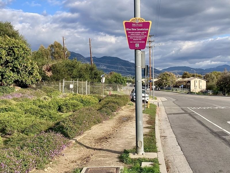
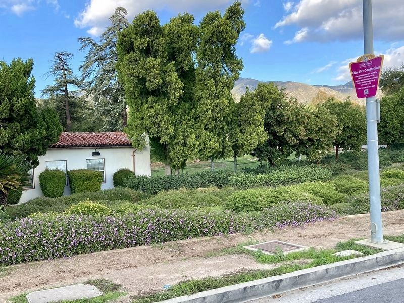
Location. 34° 19.451′ N, 118° 27.147′ W. Marker is in Los Angeles, California, in Los Angeles County. It is in Sylmar. It is on Olive View Drive half a mile east of Roxford Street, on the left when traveling east. Located in front of the Olive View Hospital Human Resources building. Touch for map. Marker is at or near this postal address: 14445 Olive View Dr, Sylmar CA 91342, United States of America. Touch for directions.

Regionally, this marker is in The Valley (the San Fernando Valley) and in the Transverse Ranges. It is also on the American Pacific Coast. Globally, it is in North America, on the Ring of Fire, on the Pacific Rim, in the Western Hemisphere, in the Western World, and in the
this page online
Other nearby markers. At least 8 other markers are within 3 miles of this marker, measured as the crow flies: The San Fernando Pioneer Memorial Cemetery (approx. 0.3 miles away); Sayre Fire (approx. 0.8 miles away); Rim of the Valley Trail (approx. 1.3 miles away); Irene Tovar Square (approx. 1.9 miles away); 1971 Sylmar Earthquake (approx. 2 miles away); Loop Fire (approx. 2.1 miles away); Rogerio Rocha (approx. 2.1 miles away); Mission Wells (approx. 2.2 miles away). Touch for a list and map of all markers in Los Angeles.
Regarding Olive View Sanatorium. The Olive View Sanitarium opened on October 27, 1920. Built by Los Angeles County to ease overcrowding at County General Hospital, the facility was designed as a cottage-style sanatorium to treat tuberculosis patients in a warm, dry climate, before the widespread availability of antibiotics. In the first decades of the 20th century, the north-eastern areas of the San Fernando Valley were widely believed to have the best climate and the healthiest air in America.
As tuberculosis
Photographed by Craig Baker, November 14, 2026
2. Olive View Sanatorium Marker
This was not a tuberculosis quarantine center for Latina/o residents only -- This historical marker is part of a new series called Latino Los Angeles, which recognizes nearly 200 locations across Los Angeles.
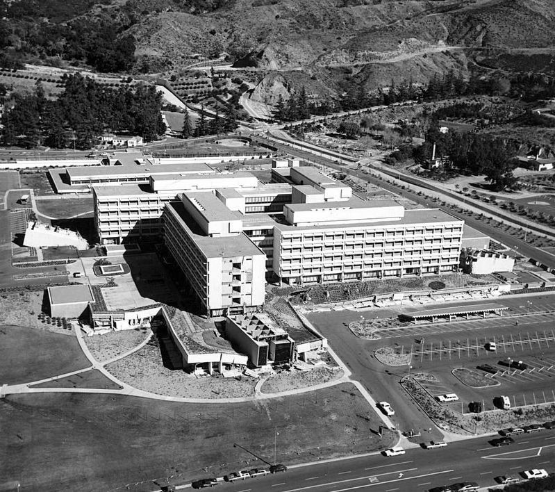
In December 1970, a modern multi-story hospital opened. It was severely damaged six weeks later during the February 9, 1971 Sylmar earthquake, which collapsed several stairwell wings and the parking structure. The facility was eventually rebuilt and reopened in 1987 as the Olive View–UCLA Medical Center, an acute care teaching hospital.
Also see . . . Historic Places LA — Olive View Hospital. City of Los Angeles Historic Resources Inventory website, shown on the marker as a QR code, includes 42 photos. (Submitted on November 14, 2026.)
Additional keywords. Olive View UCLA Medical Center, Olive View Hospital, Olive View Medical Center, Sylmar,
Photographed by Craig Baker, November 14, 2026
3. Olive View Sanatorium Marker
The Human Resources building is at left.
Photographed by Craig Baker, November 14, 2026
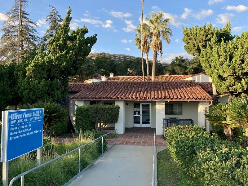
4. Human Resources building
Spanish Colonial Revival style Administration Building constructed in 1924.
Public Domain
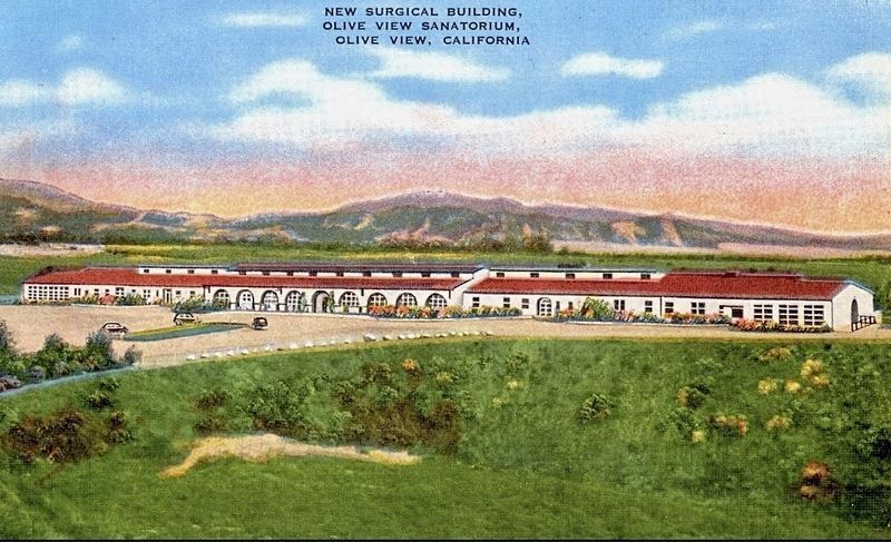
5. Surgical Building - Olive View Sanatorium
At the end of Saranac Lane, abandoned after the 1971 Sylmar Earthquake, demolished 40 years later. Now the location of a temporary heliport for fighting wildfires.
Photographed by Craig Baker, November 14, 2026
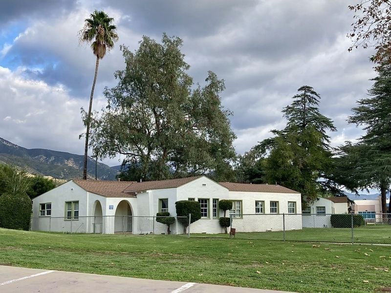
6. Residence
Spanish Colonial Revival residential buildings at the intersection of Sycamore and Mesa avenues, former physician's residences, built in 1924.
Photographed by Craig Baker, November 14, 2026
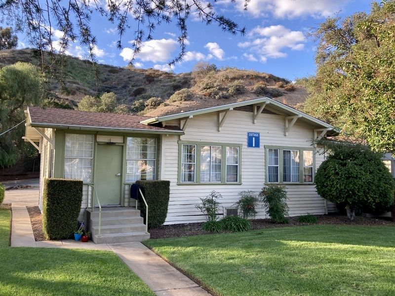
7. Cottage
One of the Craftsman bungalows along Sycamore Avenue, former Employee Cottages built in 1924, now used as offices.
Photographed by Craig Baker, November 14, 2026
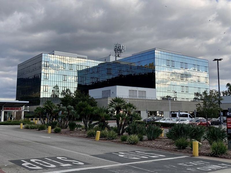
8. Olive View Hospital
Today’s main hospital building.
courtesy USGS
9. Olive View Hospital — 1971
Stairwells collapsed during the Sylmar Earthquake.
Credits. This page was last revised on November 19, 2026. It was originally submitted on November 14, 2026, by Craig Baker of Sylmar, California. This page has been viewed 71 times since then. Photos: 1, 2, 3, 4, 5, 6, 7, 8, 9. submitted on November 14, 2026, by Craig Baker of Sylmar, California.
