
Near Allendale in Allendale County, South Carolina — The American South (South Atlantic)
Burton's Ferry
Photographed by Tom Bosse, October 28, 2026
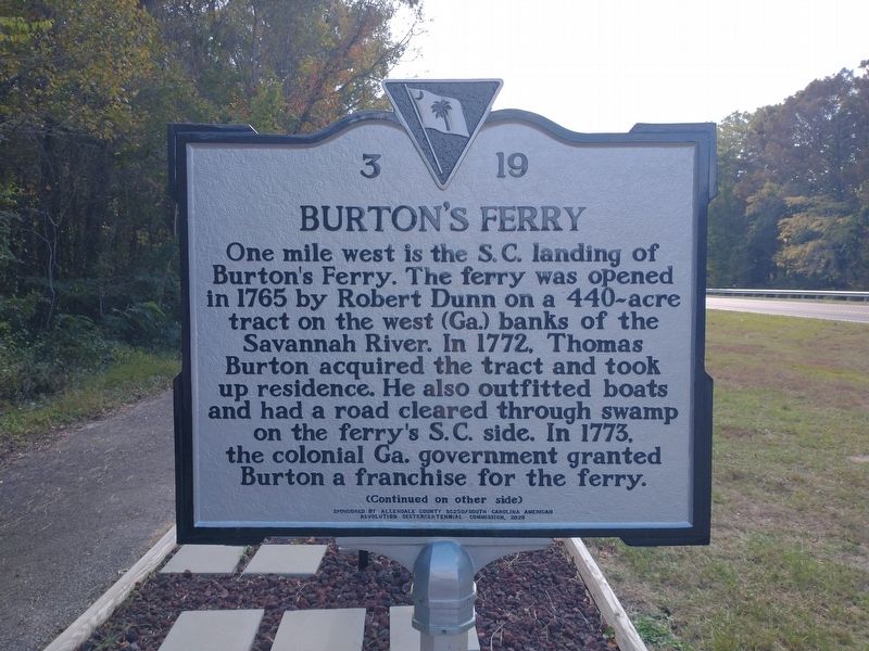
1. Burton's Ferry Marker
One mile west is the S.C. landing of Burton’s Ferry. The ferry was opened in 1765 by Robert Dunn on a 440-acre tract on the west (Ga.) banks of the Savannah River. In 1772, Thomas Burton acquired the tract and took up residence. He also outfitted boats and had a road cleared through swamp on the ferry’s S.C. side. In 1773, the colonial Ga. government granted Burton a franchise for the ferry.
Erected 2023 by Allendale County SC250/South Carolina American Revolution Sestercentennial Commission. (Marker Number 03 19.)
Topics. This historical marker is listed in these topic lists: Colonial Era • Industry & Commerce • War, US Revolutionary • Waterways & Vessels. A significant historical year for this entry is 1765.
Location. 32° 56.743′ N,
this page online

Regionally, this marker is in the Lowcountry. It is also in the American South and specifically in the Deep South. Globally, it is in North America, the Western Hemisphere, the Western World, and the Anglosphere. Historically, it finds itself in what was once the territory of the Mississippian Culture, one of the original Thirteen Colonies, one of the Confederate States of America, and the Antebellum South.
Other nearby markers. At least 8 other markers are within 8 miles of this marker, measured as the crow flies: Burton’s Ferry Landing – Allendale, South Carolina (here, next to this marker); a different marker also named Burton's Ferry (approx. 1½ miles away in Georgia); Brick (Bethel) Church (approx. 3½ miles away in Georgia); Bethel United Methodist Church (approx. 3½ miles away in Georgia);
Photographed by Tom Bosse, October 28, 2026
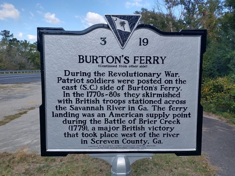
2. Burton's Ferry Marker
Photographed by Tom Bosse, October 28, 2026
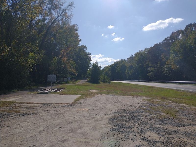
3. Burton's Ferry Marker
Photographed by Tom Bosse, October 28, 2026
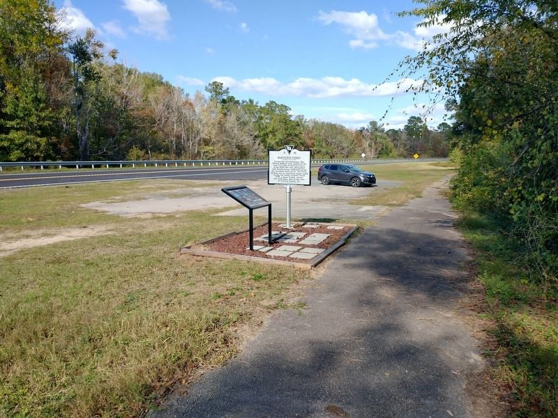
4. Burton's Ferry Marker
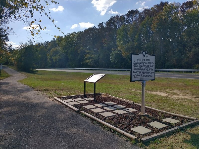
Photographed by Tom Bosse, October 28, 2026
5. Burton's Ferry Marker
Credits. This page was last revised on November 19, 2026. It was originally submitted on November 15, 2026, by Tom Bosse of Jefferson City, Tennessee. This page has been viewed 10 times since then. Photos: 1, 2, 3, 4, 5. submitted on November 15, 2026, by Tom Bosse of Jefferson City, Tennessee. • Bernard Fisher was the editor who published this page.
