
Near Allendale in Allendale County, South Carolina — The American South (South Atlantic)
Burton’s Ferry Landing – Allendale, South Carolina
Photographed by Tom Bosse, October 28, 2026
1. Burton’s Ferry Landing – Allendale, South Carolina Marker
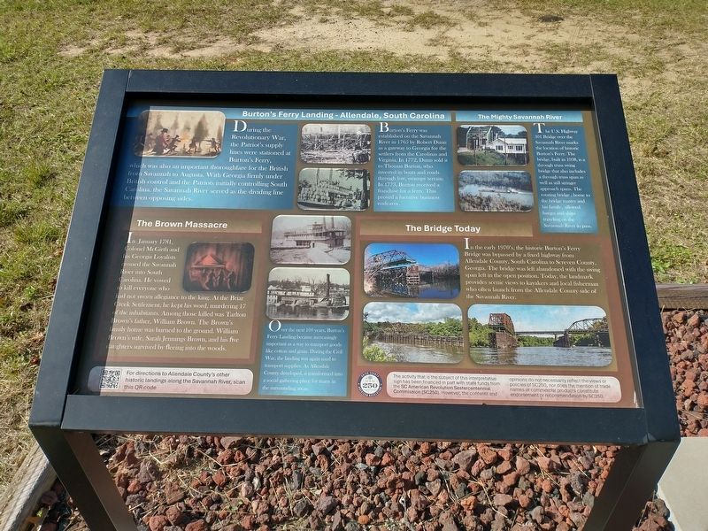
Burton’s Ferry was established on the Savannah River in 1765 by Robert Dunn as a gateway to Georgia for the settlers from the Carolinas and Virginia. In 1772, Dunn sold it to Thomas Burton, who invested in boats and roads through low, swampy terrain. In 1773, Burton received a franchise for a ferry. This proved a lucrative business endeavor.
Over the next 100 years, Burton’s Ferry Landing became increasingly important as a way to transport goods like cotton and grain. During the Civil War, the landing was again used to transport supplies. As Allendale County developed, it transformed into a social gathering place for many in the surrounding areas.
The Mighty Savannah River
The U.S. Highway 301 Bridge over the Savannah River marks the location of historic Burton’s Ferry. The
this page online
The Brown Massacre
In January 1781, Colonel McGirrth and his Georgia Loyalists crossed the Savannah River into South Carolina. He vowed to kill everyone who had not sworn allegiance to the king. At the Briar Creek Settlement, he kept his word, murdering 17 of the inhabitants. Among those killed was Tarlton Brown’s father, William Brown. The Brown’s family home was burned to the ground. William Brown’s wife, Sarah Jennings Brown, and his five daughters survived by fleeing into the woods.
The Bridge Today
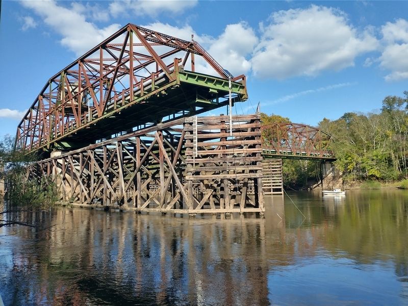
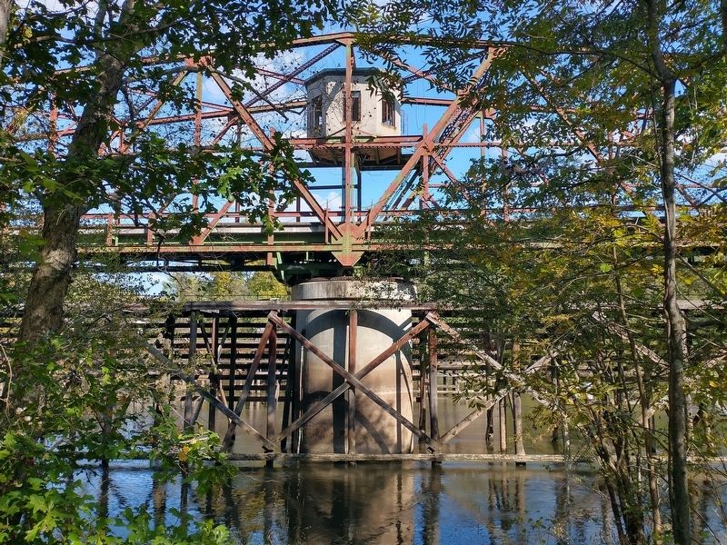
In the early 1970’s, the historic Burton’s Ferry Bridge was bypassed by a fixed highway from Allendale County, South Carolina to Screven County, Georgia. The bridge was left abandoned with the swing span left in the open position. Today, the landmark provides scenic views to kayakers and local fisherman who often launch from the Allendale County side of the Savannah
Photographed by Tom Bosse, October 28, 2026
2. Burton’s Ferry Landing – Allendale, South Carolina Marker
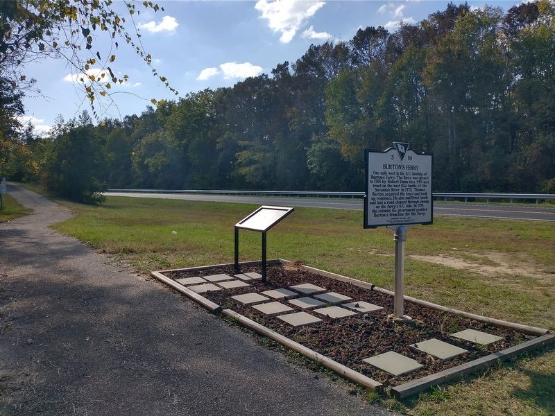
Erected by SC American Revolution Sestercentennial Commission (SC20).
Topics. This historical marker is listed in these topic lists: Bridges & Viaducts • Colonial Era • War, US Revolutionary • Waterways & Vessels. A significant historical month for this entry is January 1781.
Location. 32° 56.746′ N, 81° 29.256′ W. Marker is near Allendale, South Carolina, in Allendale County. It is on Burton Ferry Highway (U.S. 301) 4½ miles west of South Carolina Route 3, on the left when traveling west. Touch for map. Marker is in this post office area: Allendale SC 29810, United States of America. Touch for directions.

Regionally, this marker is in the Lowcountry. It is also in the American South and specifically in the Deep South. Globally, it is in North America, the Western Hemisphere, the Western World, and the Anglosphere. Historically, it finds itself in what was once the territory of the Mississippian Culture, one of the original Thirteen Colonies, one of the Confederate States of America, and the Antebellum South.
Other nearby markers. At least 8 other markers are within 9 miles of this marker, measured as
Photographed by Tom Bosse, October 28, 2026
3. 1938 Through Truss Swing Bridge
Related markers. Click here for a list of markers that are related to this marker.
Photographed by Tom Bosse, October 28, 2026
4. 1938 Through Truss Swing Bridge
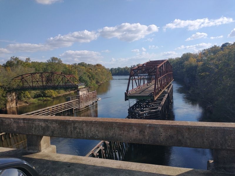
Photographed by Tom Bosse, October 28, 2026
5. 1938 Through Truss Swing Bridge
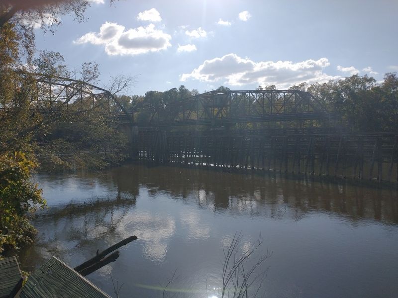
Photographed by Tom Bosse, October 28, 2026
6. 1938 Through Truss Swing Bridge
Credits. This page was last revised on November 17, 2026. It was originally submitted on November 15, 2026, by Tom Bosse of Jefferson City, Tennessee. This page has been viewed 7 times since then. Photos: 1, 2, 3, 4, 5, 6. submitted on November 15, 2026, by Tom Bosse of Jefferson City, Tennessee. • Bernard Fisher was the editor who published this page.
