
Gettysburg in Adams County, Pennsylvania — The American Northeast (Mid-Atlantic)
South Stratton Street
Pathway to Safety
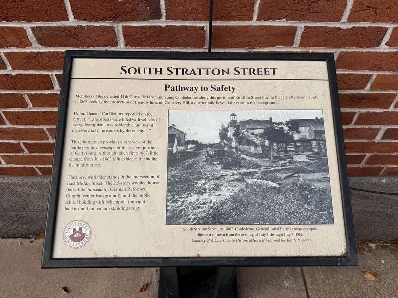
Members of the defeated 11th Corps fled from pursuing Confederates along this portion of Stratton Street during the late afternoon of July 1, 1863, seeking the protection of friendly lines on Cemetery Hill, a quarter mile beyond the crest in the backgound.
Union General Carl Schurz reported on the retreat: "…the streets were filled with vehicles of every description…a considerable number of men were taken prisoners by the enemy...."
This photograph provides a rare view of the battle period streetscape of the eastern portion of Gettysburg. Although taken circa 1867, little change from July 1863 is in evidence (including the muddy street).
The horse with rider stands in the intersection of East Middle Street. The 2.5-story wooden house (left of the horseman), German Reformed Church (center background), and the public school building with bell cupola (far right background) all remain standing today.
[Captions:]
South Stratton Street, ca. 1867. Confederate General Jubal Early's troops occupied this part of town from the evening of July 1 through July 3, 1863.
Courtesy of Adams County Historical Society / Beyond the Battle Museum
Erected 2024
this page online
Topics and series. This historical marker is listed in these topic lists: Roads & Vehicles • War, US Civil. In addition, it is included in the Pennsylvania, Main Street Gettysburg series list. A significant historical date for this entry is July 1, 1863.
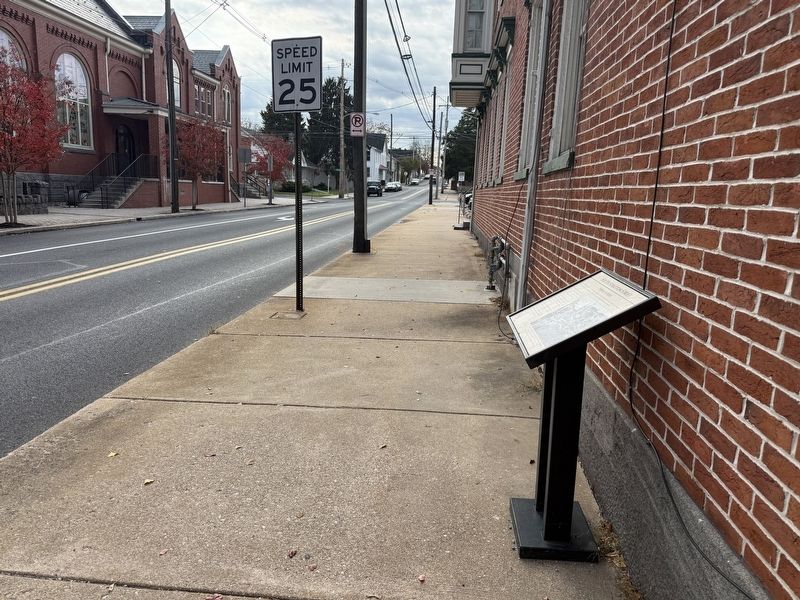
Location. 39° 49.849′ N, 77° 13.737′ W. Marker is in Gettysburg, Pennsylvania, in Adams County. It is at the intersection of South Stratton Street and York Street (U.S. 30), on the right when traveling south on South Stratton Street. Touch for map. Marker is at or near this postal address: 59 York Street, Gettysburg PA 17325, United States of America. Touch for directions.

Regionally, this marker is in South-Central Pennsylvania. It is also in the American Northeast, in the Mid-Atlantic, in Appalachia, and specifically in Northern Appalachia. Globally, it is in North America, the Western Hemisphere, the Western World, and the Anglosphere. Historically, it finds itself in what was once the Haudenosaunee (Iroquois) Confederacy and also one of the original Thirteen Colonies.
Other nearby markers. At least 8 other markers are within
Other markers no longer nearby. a pathway to safety (was here, next to this marker but has been replaced with another marker now near it); a site for two legends (was a few steps from this marker but has been replaced with another marker now near it); "harboring Confederates" (was about 300 feet away but has been replaced with another marker now near it).
Credits. This page was last revised on November 16, 2026. It was originally submitted on November 15, 2026, by Devry Becker Jones of Washington, District of Columbia. This page has been viewed 16 times since then. Photos: 1, 2. submitted on November 15, 2026, by Devry Becker Jones of Washington, District of Columbia.
