
Government Center in Boston in Suffolk County, Massachusetts — The American Northeast (New England)
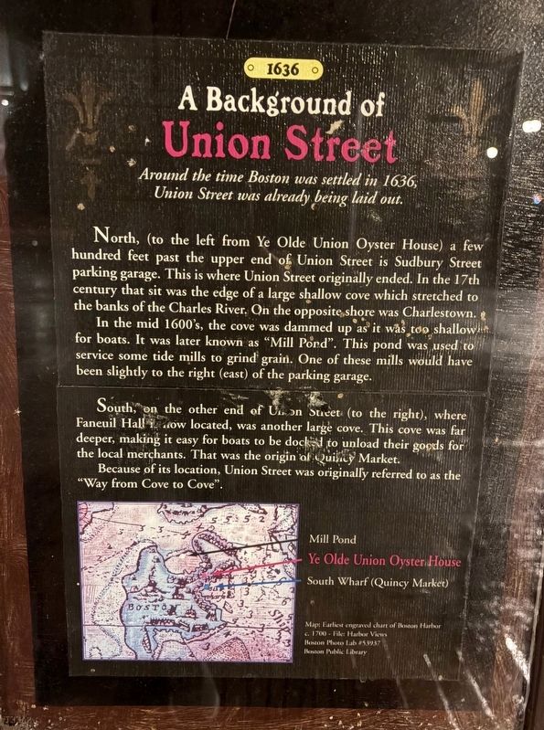
A Background of Union Street
1636
Photographed by Sean P. Flynn, November 6, 2026
1. A Background of Union Street Marker
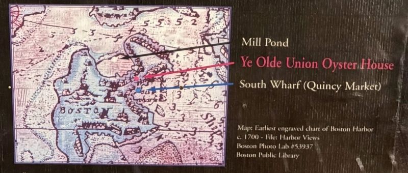
North, (to the left from Ye Olde Union Oyster House) a few hundred feet past the upper end of Union Street is Sudbury Street parking garage. This is where Union Street originally ended. In the 17th century that sit was the edge of a large shallow cove which stretched to the banks of the Charles River. On the opposite shore was Charlestown.
In the mid 1600's, the cove was dammed up as it was too shallow for boats. It was later known as "Mill Pond". This pond was used to service some tide mills to grind grain. One of these mills would have been slightly to the right (east) of the parking garage.
South, on the other end of Union Street (to the right), where Faneuil Hall is now located, was another large cove. This cove was far deeper, making it easy for boats to be docked to unload their goods for the local merchants. That was the origin of Quincy Market.
Because of its location, Union Street was originally referred to as the "Way from Cove to Cove".
Topics. This historical marker is listed in these topic lists: Industry & Commerce
this page online
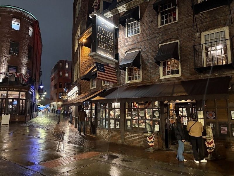
Location. 42° 21.68′ N, 71° 3.419′ W. Marker is in Boston, Massachusetts, in Suffolk County. It is in Government Center. It is at the intersection of Union Street and Marshall Street, on the right when traveling north on Union Street. This marker is in the window of the Union Oyster House. Touch for map. Marker is at or near this postal address: 41 Union Street, Boston MA 02108, United States of America. Touch for directions.

Regionally, this marker is in Historic Boston. It is also in the American Northeast, in New England, and on the Eastern Seaboard. Globally, it is in the North Atlantic Region, North America, the Western Hemisphere, the Western World, and the Anglosphere. Historically, it finds itself in what was once one of the original Thirteen Colonies.
Other nearby markers. At least 8 other markers are within walking distance of this marker: How Did Ye Olde Oyster House Change Over the Years? (here, next to this marker); Benjamin Thompson (here, next to this marker); "The Sign of the Cornfields"
Photographed by Sean P. Flynn, November 6, 2026
2. Union Oyster House
More about this marker. This is one of several framed markers in the windows of the Union Oyster House that discuss the history of colonial Boston.
Photographed by Sean P. Flynn, November 6, 2026
3. Close-up of the map on the marker
Credits. This page was last revised on November 17, 2026. It was originally submitted on November 16, 2026, by Sean P. Flynn of Oak Park, Illinois. This page has been viewed 4 times since then. Photos: 1, 2, 3. submitted on November 16, 2026, by Sean P. Flynn of Oak Park, Illinois.
