
Newhall in Santa Clarita in Los Angeles County, California — The American West (Pacific Coastal)
Beale's Cut
| — | Open Space | — |
Photographed by Craig Baker, November 17, 2026
1. Beale's Cut Marker
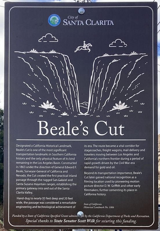
Welcome to Beale's Cut Open Space! Designated a California Historical Landmark, Beale's Cut is one of the most significant transportation landmarks in Southern California history and the only physical feature of its kind remaining in the Los Angeles Basin. Constructed in 1863 under the direction of General Edward F. Beale, Surveyor-General of California and Nevada, the Cut created the first practical inland passage through the rugged San Gabriel and Santa Susana mountain ranges, establishing the primary gateway into and out of the Santa Clarita Valley.
Hand-dug to nearly 93 feet deep and 20 feet wide, the passage was considered a remarkable engineering and technological achievement of its era. The route became a vital corridor for stagecoaches, freight wagons, mail delivery, and California's northern frontier during a period of rapid growth driven by the Civil War-era demand for gold and oil.
Beyond its transportation importance, Beale's Cut later gained national recognition as a filming location used by pioneering motion picture director D.W. Griffith and other early filmmakers, further
this page online
Erected 2026 by City of Santa Clarita. (Marker Number 1006.)
Topics and series. This historical marker is listed in these topic lists: Parks & Recreational Areas • Roads & Vehicles. In addition, it is included in the California Historical Landmarks series list. A significant historical year for this entry is 1863.
Location. 34° 20.85′ N, 118° 30.532′ W. Marker is in Santa Clarita, California, in Los Angeles County. It is in Newhall. It is on Sierra Highway 1.3 miles north of San Fernando Road, on the right when traveling north. Touch for map. Marker is at or near this postal address: 24698 Clampitt Rd, Newhall CA 91321, United States of America. Touch for directions.

Regionally, this marker is in Greater Los Angeles and in the Transverse Ranges. It is also on the American Pacific Coast. Globally, it is in North America, on the Ring of Fire, on the Pacific Rim, in the Western Hemisphere, in the Western World, and in the Anglosphere. Historically, it finds itself in what was once New Spain and also Mexico’s Alta California.
Other nearby markers. At least 8 other markers
Photographed by Craig Baker, November 17, 2026
2. Beale's Cut Trail Map
Another marker is no longer nearby. Beale's Cut (was approx. 0.4 miles away but has been confirmed missing).
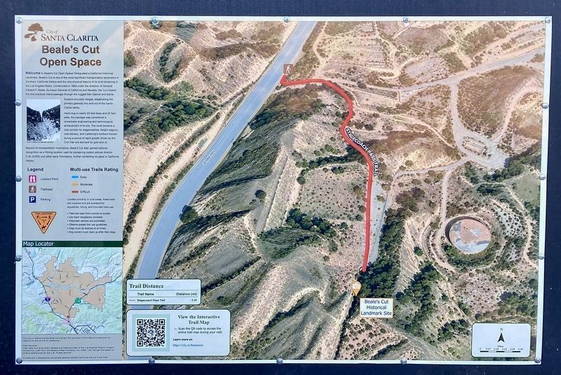
More about this marker. The City of Santa Clarita purchased the property and created a new open space park in 2026, with access to Beale’s Cut. Fifty years ago, the trail approached the cut from the south. Today’s trail approaches the site from the north. The trail is ¼-mile, mostly paved, and steep.
Regarding Beale's Cut. This site was designated California Historical Landmark No. 1006 on May 11, 1992.
Photographed by Craig Baker, November 17, 2026
3. Beale's Cut Marker
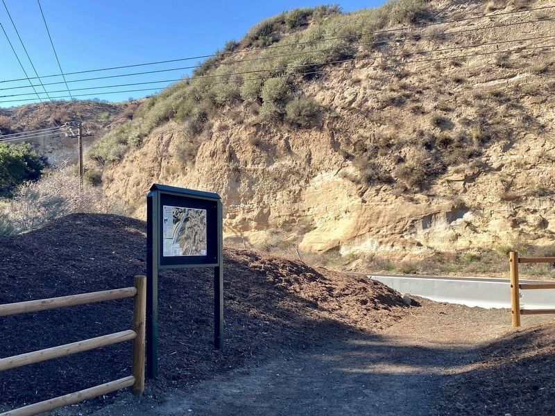
The highway is visible in the background.
Photographed by Craig Baker, November 17, 2026
4. Sign at Parking Lot
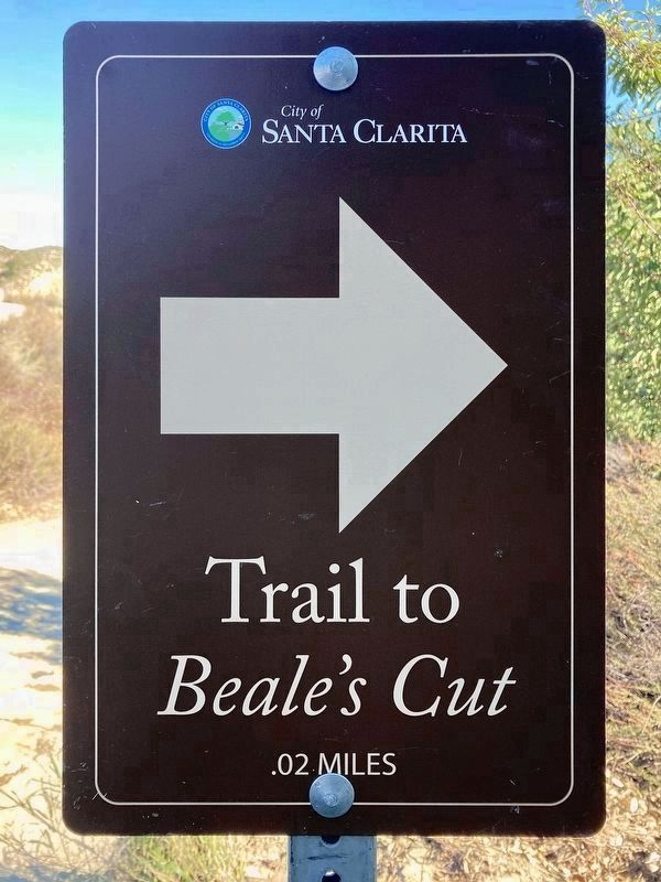
Photographed by Craig Baker, November 17, 2026
5. Trail to Beale's Cut → .02 miles
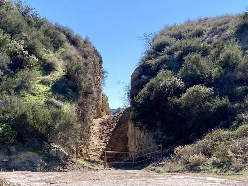
Photographed by Craig Baker, November 7, 2026
6. Beale's Cut
Access is now open from the north.
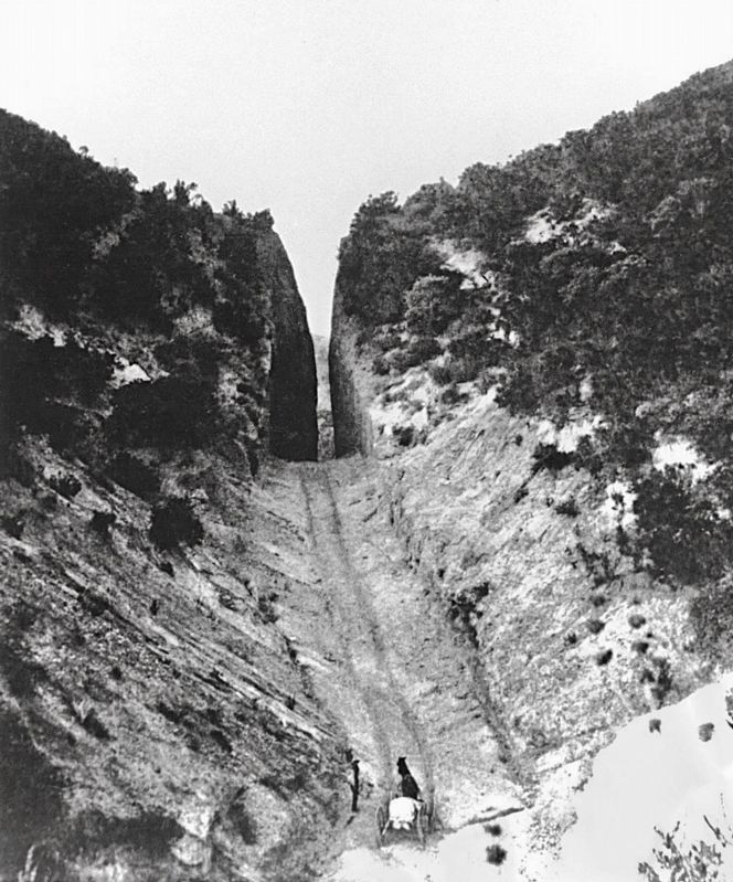
from Wikimedia Commons
7. Beale's Cut - 1872
This photo is featured on the marker.
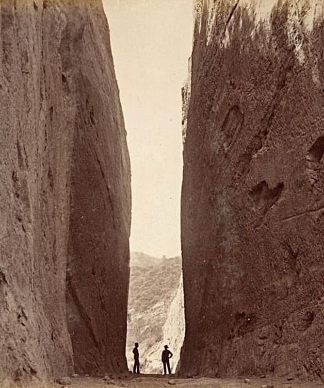
Public Domain
8. Beale's Cut
Credits. This page was last revised on November 17, 2026. It was originally submitted on November 17, 2026, by Craig Baker of Sylmar, California. This page has been viewed 10 times since then. Photos: 1, 2, 3, 4, 5, 6. submitted on November 17, 2026, by Craig Baker of Sylmar, California. 7. submitted on March 26, 2026, by Craig Baker of Sylmar, California. 8. submitted on January 3, 2023, by Craig Baker of Sylmar, California.
