
Port Richey in Pasco County, Florida — The American South (South Atlantic)
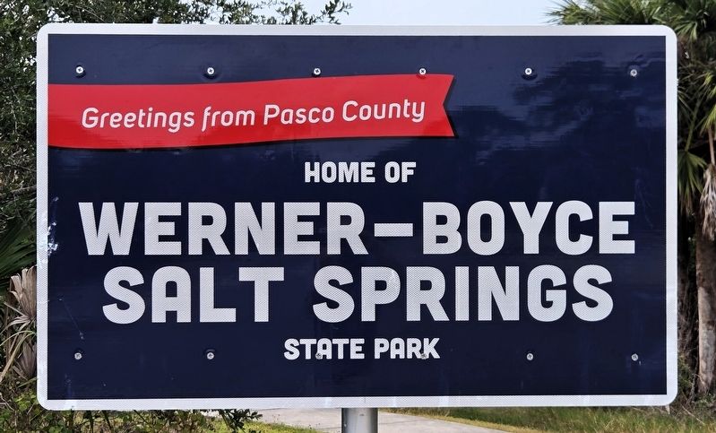
Home of Werner-Boyce Salt Springs State Park
Greetings from Pasco County
| — | America250FL Road Trip | — |
Photographed by Cosmos Mariner, November 16, 2026
1. Home of Werner-Boyce Salt Springs State Park Marker
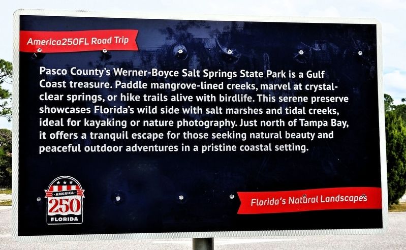
Pasco County’s Werner-Boyce Salt Springs State Park is a Gulf Coast treasure. Paddle mangrove-lined creeks, marvel at crystal-clear springs, or hike trails alive with birdlife. This serene preserve showcases Florida’s wild side with salt marshes and tidal creeks ideal for kayaking or nature photography. Just north of Tampa Bay, it offers a tranquil escape for those seeking natural beauty and peaceful outdoor adventures in a pristine coastal setting.
Forida’s Natural Landscapes
Erected 2026 by America250FL Road Trip .
Topics and series. This historical marker is listed in these topic lists: Parks & Recreational Areas • Waterways & Vessels. In addition, it is included in the America 250 series list.
Location. 28° 17.336′ N, 82° 43.213′ W. Marker is in Port Richey, Florida, in Pasco County. It can be reached from U.S. 19 just north of Ridge Crest Drive, on the right when traveling south. The marker is at the trailhead ½ mile west of US Highway 19 on the Werner-Boyce Salt Springs State Park road. Touch for map. Marker is at or near this postal address: 8737 US Highway
this page online

Regionally, this marker is on the Gulf Coast and on Tampa Bay. It is also in the American South and on the Gulf Coast. Globally, it is in the North Atlantic Region, North America, a Gulf of Mexico state, the Western Hemisphere, the Western World, and the Anglosphere. Historically, it finds itself in what was once New Spain, the territory of the Mississippian Culture, one of the Confederate States of America, and the Antebellum South.
Other nearby markers. At least 8 other markers are within 3 miles of this marker, measured as the crow flies: Mullet and Mullet Fishing (here, next to this marker); Pine Hill Cemetery (approx. 1.2 miles away); Oelsner Mound (approx. 1.4 miles away); Our Lady Queen of Peace Catholic Church (approx. 2.6 miles away); West Pasco County War Memorial (approx. 2.6 miles away); Sims Park (approx. 2.7 miles away); Dr. Frederick A. Grassin Bridge (approx. 2.7 miles away); Meighan Theatre (approx. 2.7 miles away). Touch for a list and map of all markers in Port Richey.
Related markers. Click here for a list of markers
Photographed by Cosmos Mariner, November 16, 2026
2. Home of Werner-Boyce Salt Springs State Park Marker
The inscription is in the west side of the marker.
Also see . . .
1. Werner-Boyce Salt Springs State Park (Wikipedia).
Excerpt: Werner-Boyce Salt Springs State Park is along the Gulf of Mexico on the Atlantic coastal plain. The park is named, in part, for Salt Spring, a saltwater spring explored to a depth of 351 feet. Cauldron Spring, also within the park, has been explored to 341 feet. The park includes four miles of Pasco County's coastal waters on the Gulf of Mexico. Activities include picnicking, boating, fishing, hiking, and wildlife viewing. The park's wildlife includes gray foxes, gopher tortoises, alligators, and West Indian manatees, as well as about 150 species of bird. Among the park's birds are raptors, wading birds, shore birds, and migratory song birds.(Submitted on November 18, 2026, by Cosmos Mariner of Cape Canaveral, Florida.)
2. America 250 FL Road Trip. (Submitted on November 18, 2026, by Cosmos Mariner of Cape Canaveral, Florida.)
Photographed by Cosmos Mariner, November 16, 2026
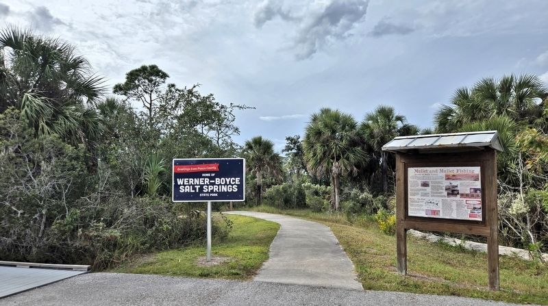
3. Home of Werner-Boyce Salt Springs State Park Marker
The marker (left) is at the west end of the Werner-Boyce Salt Springs State Park trailhead parking lot.
Photographed by Cosmos Mariner, November 16, 2026
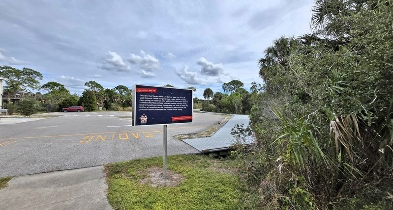
4. Home of Werner-Boyce Salt Springs State Park Marker
Looking east; the Werner-Boyce Salt Springs State Park trailhead parking lot is in the background.
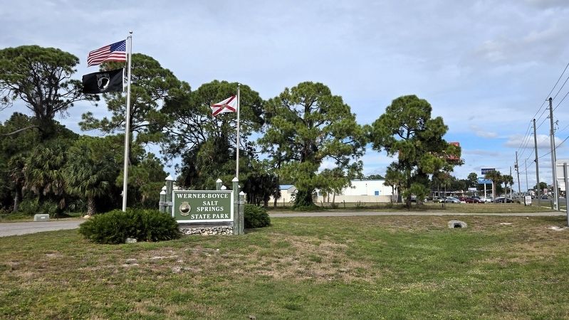
Photographed by Cosmos Mariner, November 16, 2026
5. Werner-Boyce Salt Springs State Park Entrance
Turn here from US Highway 19 to enter the park. The trailhead and marker are ½ mile west on the park road.
Credits. This page was last revised on November 18, 2026. It was originally submitted on November 18, 2026, by Cosmos Mariner of Cape Canaveral, Florida. This page has been viewed 7 times since then. Photos: 1, 2, 3, 4, 5. submitted on November 18, 2026, by Cosmos Mariner of Cape Canaveral, Florida.
