Clarksville in Mecklenburg County, Virginia — The American South (Mid-Atlantic)
Prestwould Plantation
Photographed by Bernard Fisher, June 13, 2010
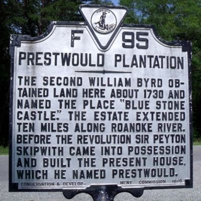
1. Prestwould Plantation Marker
The second William Byrd obtained land here about 1730 and named the place "Blue Stone Castle." The estate extended ten miles along Roanoke River. Before the Revolution Sir Peyton Skipwith came into possession and built the present house, which he named Prestwould.
Erected 1930 by Conservation & Development Commission. (Marker Number F-95.)
Topics and series. This historical marker is listed in these topic lists: African Americans • Agriculture • Colonial Era • Settlements & Settlers. In addition, it is included in the National Historic Landmarks, and the Virginia Department of Historic Resources (DHR) series lists. A significant historical year for this entry is 1730.
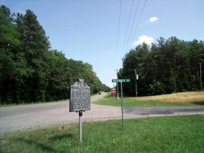
Location. 36° 39.424′ N, 78° 33.623′ W. Marker is in Clarksville, Virginia, in Mecklenburg County. It is at the intersection of Highway Fifteen (U.S. 15) and Prestwould Drive (Virginia Route 1601), on the right when traveling south on Highway Fifteen. Touch for map. Marker is in this post office area: Clarksville VA 23927, United States of America. Touch for directions.

Regionally, this marker is in Southern Virginia, specifically in the
this page online
Other nearby markers. At least 8 other markers are within 6 miles of this marker, measured as the crow flies: Patrick Robert “Parker” Sydnor (approx. 0.3 miles away); Occaneechi Indians (approx. 2.3 miles away); Mecklenburg County Veterans Memorial (approx. 2½ miles away); Sunnyside School ca. 1870-1908 (approx. 3.1 miles away); West End High School (approx. 3.8 miles away); Buffalo Springs (approx. 5.7 miles away); a different marker also named Buffalo Springs (approx. 5.7 miles away); a different marker also named Buffalo Springs (approx. 5.7 miles away). Touch for a list and map of all markers in Clarksville.
Also see . . .
1. Prestwould Plantation. African American Heritage
Photographed by Bernard Fisher, June 13, 2010
2. US Rt 15 & Prestwould Dr (facing south)
Prestwould Planation holds one of the largest collections of slave writings in the U.S. and one of the earliest known slave quarters in the South. (Submitted on June 14, 2010.)
2. Prestwould. National Register of Historic Places (Submitted on November 10, 2021.)
Photographed by Bernard Fisher, June 13, 2010
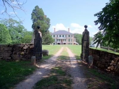
3. Prestwould Plantation Gate
Photographed by Bernard Fisher, June 13, 2010
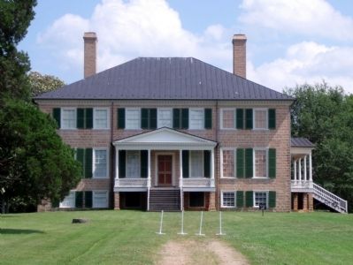
4. Prestwould Plantation
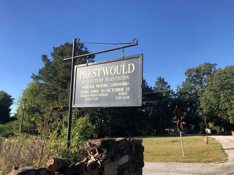
Photographed by Devry Becker Jones (CC0), September 24, 2021
5. National Historic Landmark signage for the estate
Credits. This page was last revised on November 4, 2023. It was originally submitted on June 14, 2010, by Bernard Fisher of Richmond, Virginia. This page has been viewed 2,214 times since then and 114 times this year. Photos: 1, 2, 3, 4. submitted on June 14, 2010, by Bernard Fisher of Richmond, Virginia. 5. submitted on September 24, 2021, by Devry Becker Jones of Washington, District of Columbia.
