Gadsden in Richland County, South Carolina — The American South (South Atlantic)
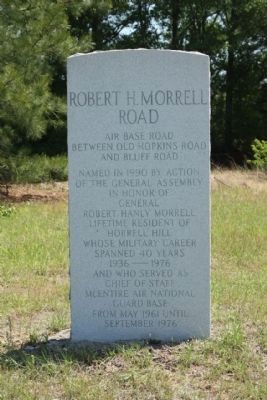
Robert H. Morrell Road
between Old Hopkins Road
and Bluff Road
Named in 1990 by action
of the General Assembly
in honor of
General
Robert Hanly Morrell
lifetime resident of
Horrell Hill
whose military career
spanned 40 years
1936 — 1976
and who served as
Chief of Staff
McEntire Air National
Guard Base
from May 1961 until
September 1976
Topics. This historical marker is listed in these topic lists: Air & Space • Roads & Vehicles • War, Cold. A significant historical month for this entry is May 1961.
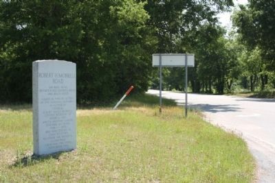
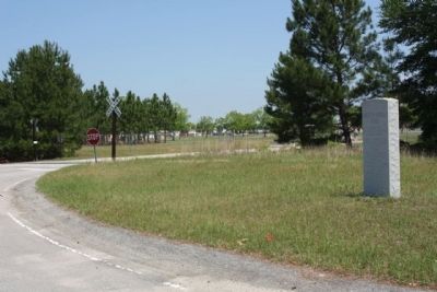
Location. 33° 54.567′ N, 80° 48.23′ W. Marker is in Gadsden, South Carolina, in Richland County. Marker is on Congaree Road / Air Base Road / Robert H. Morrell (State Highway 769), on the right when traveling west. Located at the back gate access road (closed) to McEntire Air National Guard Base. Touch for map. Marker is in this post office area: Gadsden SC 29052, United States of America. Touch for directions.
Other nearby markers. At least 8 other markers are within 5 miles of this marker, measured as the crow flies. James H. Adams (within shouting distance of this marker); Minervaville (approx. 1.8 miles away); New Light Beulah Baptist Church (approx. 2.2 miles away); Barnie Jordan Jr. Memorial Highway (approx. 2.4 miles away); Horrell Hill (approx. 3.7 miles away); Hopkins (approx. 4.2 miles away); Harriet Barber House (approx. 4.3 miles away); a different marker also named Harriet Barber House (approx. 4.3 miles away).
Credits. This page was last revised on December 14, 2019. It was originally submitted on June 18, 2010, by Mike Stroud of Bluffton, South Carolina. This page has been viewed 875 times since then and 20 times this year. Photos: 1, 2, 3. submitted on June 18, 2010, by Mike Stroud of Bluffton, South Carolina.


