Kingston in Roane County, Tennessee — The American South (East South Central)
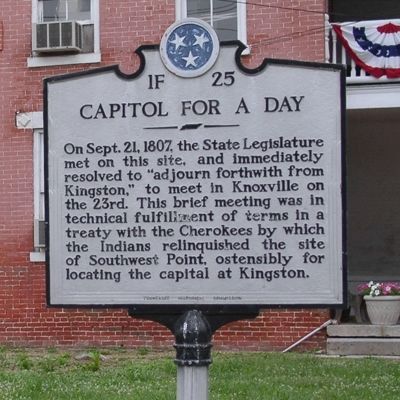
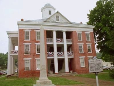
Capitol for a Day
Erected by Tennessee Historical Commission. (Marker Number 1F 25.)
Topics and series. This historical marker is listed in these topic lists: Government & Politics • Landmarks • Native Americans • Notable Events • Settlements & Settlers. In addition, it is included in the Tennessee Historical Commission series list. A significant historical month for this entry is September 1780.
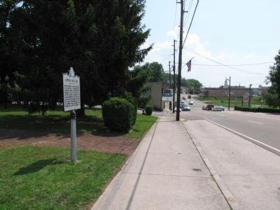
Location. 35° 52.335′ N, 84° 30.959′ W. Marker is in Kingston, Tennessee, in Roane County. Marker is on N. Kentucky Street (Tennessee Route 58) 0.1 miles TN 58 and US 70, on the right when traveling west. Touch for map. Marker is in this post office area: Kingston TN 37763, United States of America. Touch for directions.
Other nearby markers. At least 8 other markers are within one mile of this marker, measured as the crow flies. For the Union (a few steps from this marker); Roane County Revolutionary War Monument (a few steps from this marker); Kingston (a few steps from this marker); Roane County War of 1812 Memorial (within shouting distance of this marker); Southwest Point (approx. 0.4 miles away); Cherokee Cabin (approx. one mile away); The Lewis and Clark Expedition (approx. one mile away); Site of Southwest Point (approx. one mile away). Touch for a list and map of all markers in Kingston.
Additional keywords. Southwest Point, Kingston, Treaty
Credits. This page was last revised on September 24, 2020. It was originally submitted on July 5, 2010, by Donald Raby of Knoxville, Tennessee. This page has been viewed 1,007 times since then and 20 times this year. Photos: 1, 2, 3. submitted on July 5, 2010, by Donald Raby of Knoxville, Tennessee. 4. submitted on May 31, 2011, by Lee Hattabaugh of Capshaw, Alabama. • Bill Pfingsten was the editor who published this page.


