Chimayo in Rio Arriba County, New Mexico — The American Mountains (Southwest)
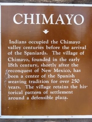
Chimayo
Erected by New Mexico Historic Preservation Division and Department of Highways.
Topics and series. This historical marker is listed in these topic lists: Hispanic Americans • Native Americans • Settlements & Settlers. In addition, it is included in the El Camino Real de Tierra Adentro series list.
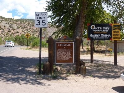
Location. 36° 0.11′ N, 105° 55.782′ W. Marker is in Chimayo, New Mexico, in Rio Arriba County. Marker is on Juan Medina Road (County Road 98) 0.1 miles east of High Road to Taos (State Road 76), on the left when traveling south. This is a pull-out, NM 76 can be seen to the northwest, Ortega's Weaving Shop is across the street. Touch for map. Marker is in this post office area: Chimayo NM 87522, United States of America. Touch for directions.
Other nearby markers. At least 8 other markers are within 8 miles of this marker, measured as the crow flies. Santuario de Chimayó (approx. 0.9 miles away); Truchas (approx. 6.2 miles away); Santa Cruz de la Cañada / Santa Cruz Plaza on the Camino Real (approx. 6.6 miles away); The St. Francis Women's Club (approx. 7 miles away); Truchas Peaks (approx. 7½ miles away); Chimayo Trading Post / Trujillo House (approx. 7.8 miles away); Esther Martinez - P’oe Tsáwäˀ (1912-2006) (approx. 8 miles away); San Gabriel (approx. 8 miles away).
More about this marker. Unlike the marker down the road, this one does not accent the last syllable of Chimayó. David Pike's entry for this marker in his 2004 book Roadside New Mexico does.
Also see . . . History of Chimayo. Web page providing a good overview of the history of the area. (Submitted on October 31, 2013, by Richard Denney of Austin, Texas.)
Photographed By Thomas Chris English, July 1, 2010
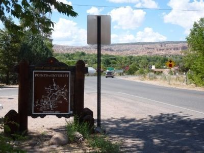
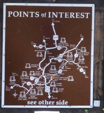
3. Chimayo Marker - Reverse
New Mexico Historic Marker Maps
The state's Official Scenic Historic Markers usually have a map on the reverse side showing the location of more local markers. For the ardent historical marker seeker, these maps are a mine of information, waiting for extraction.
Photographed By Thomas Chris English, July 1, 2010
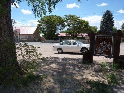
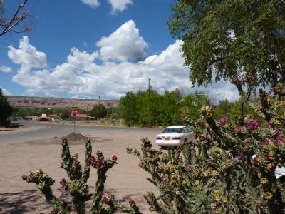
6. Chimayo Marker - Lies Beyond the Blooming Cholla Cactus
This is just how it looked the day this picture was taken. No changed-up camera settings, no lightness/contrast manipulations. I just couldn't quite get the marker and catch the blooming cactus too.
Credits. This page was last revised on December 16, 2020. It was originally submitted on July 9, 2010, by Chris English of Phoenix, Arizona. This page has been viewed 1,197 times since then and 42 times this year. Photos: 1, 2, 3, 4, 5, 6. submitted on July 9, 2010, by Chris English of Phoenix, Arizona. • Syd Whittle was the editor who published this page.
