Near Keogh in Oneida County, Idaho — The American West (Mountains)
Lake Bonneville
Photographed by Rebecca Maxwell, July 10, 2010
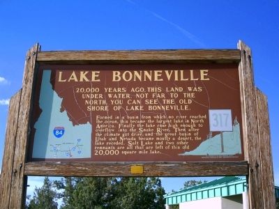
1. Lake Bonneville Marker
20,000 years ago, this land was under water. Not far to the north, you can see the old shore of Lake Bonneville.
Formed in a basin from which no river reached the ocean, this became the largest lake in North America. Finally the lake rose high enough to overflow into the Snake River. Then after the climate got drier, and the great basin of Utah and Nevada became mostly a desert, the lake receded. Salt Lake and two other remnants are all that are left of this old 20,000 square mile lake.
Erected by Idaho Historical Society. (Marker Number 317.)
Topics and series. This historical marker is listed in these topic lists: Natural Features • Waterways & Vessels. In addition, it is included in the Idaho State Historical Society series list.
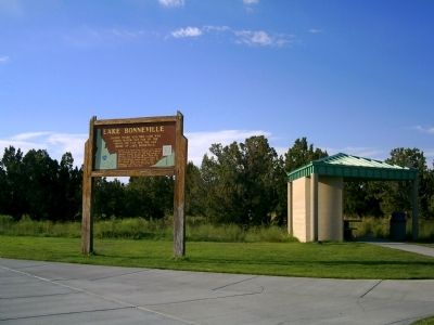
Location. 42° 4.388′ N, 112° 54.31′ W. Marker is near Keogh, Idaho, in Oneida County. It is on Interstate 84 at milepost 269, on the right when traveling north. Marker is located at the Rest Area near the Idaho/Utah border. Touch for map. Marker is in this post office area: Malad City ID 83252, United States of America. Touch for directions.

Regionally,
this page online
Other nearby markers. At least 3 other markers are within 15 miles of this marker, measured as the crow flies: Curlew Valley (approx. 12.4 miles away in Utah); Twin Springs Historic Site (approx. 15 miles away); Twin Springs (approx. 15 miles away).
Photographed by Rebecca Maxwell, July 10, 2010
2. Lake Bonneville Marker at Rest Area
Credits. This page was last revised on December 29, 2024. It was originally submitted on July 11, 2010, by Rebecca Maxwell of Boise, Idaho. This page has been viewed 2,250 times since then and 60 times this year. Photos: 1, 2. submitted on July 11, 2010, by Rebecca Maxwell of Boise, Idaho. • Craig Swain was the editor who published this page.
