Royal Oak in Oakland County, Michigan — The American Midwest (Great Lakes)
Saginaw Trail
⎯⎯⎯
John Almon Starr House
Registered Michigan Historic Site
Photographed by Joel Seewald, July 3, 2010
1. Saginaw Trail Marker
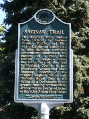
Saginaw Trail
The Saginaw Trail, running from Detroit to Saginaw through Pontiac and Flint, was originally an Indian trail. In 1816 Michigan territorial government authorized the building of a road from Detroit to Saginaw along the trail. Part of the trail in Oakland County is now Woodward Avenue and Dixie Highway. Evidence of the original Saginaw Trail's path through Royal Oak is still visible as a Depression in the ground running northwesterly across the property adjacent to the John Almon Starr House.
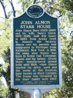
John Almon Starr House
John Almon Starr (1828-1895) and his wife, Nancy Quick (1831-1895), built this house in 1868 from bricks fired in Almon's tile factory. Almon and his parents had emigrated to Michigan from Richmond, New York, in 1831, the same year Nancy was born in Royal Oak Township. Almon and his father, Orson Starr, manufactured animal bells until 1866, when Almon started his brick yard and tile works at this location, later known as Starr Corners. The house was occupied by the Starr family until 1967.
Erected 1988 by Bureau of History, Michigan Department of State. (Marker Number S164.)
Topics and series.
this page online
Location. 42° 31.012′ N, 83° 9.898′ W. Marker is in Royal Oak, Michigan, in Oakland County. It is on Crooks Road 1.1 miles east of Woodward Avenue (Michigan Highway 1), on the right when traveling south. Touch for map. Marker is at or near this postal address: 3123 Crooks Road, Royal Oak MI 48073, United States of America. Touch for directions.

Regionally, this marker is in Southeast Michigan and in Greater Detroit. It is also in the American Midwest. Globally, it is in North America, the Western Hemisphere, the Western World, and the Anglosphere. Historically, it finds itself in what was once the Northwest Territory.
Other nearby markers. At least 8 other markers are within 2 miles of this marker, measured as the crow flies: Indian Trail (within shouting distance of this marker); Hedge's Wigwam (approx. 0.4 miles away); Union School Bell
Photographed by Joel Seewald, July 3, 2010
2. John Almon Starr House Marker
Photographed by Joel Seewald, July 3, 2010
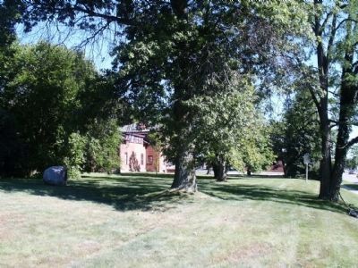
3. Saginaw Trail
The Saginaw Trail is the slight depression in the ground running toward the house, between the rock on the left and the tree in the middle.

Photographed by Joel Seewald, July 3, 2010
4. John Almon Starr House
Photographed by John Garman, April 19, 2025
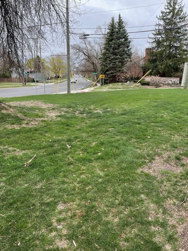
5. Saginaw Trail
View of the Saginaw Trail looking southeast.
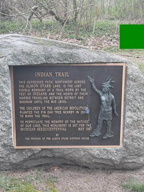
Photographed by John Garman, April 19, 2025
6. Saginaw Trail Historical Marker
Nearby is this boulder and marker describing the Saginaw Trail and its historical significance.
Credits. This page was last revised on June 11, 2025. It was originally submitted on July 13, 2010, by Joel Seewald of Madison Heights, Michigan. This page has been viewed 3,179 times since then and 192 times this year. Photos: 1, 2, 3, 4. submitted on July 13, 2010, by Joel Seewald of Madison Heights, Michigan. 5, 6. submitted on May 4, 2025, by John Garman of Rochester Hills. • Bill Pfingsten was the editor who published this page.
