West Ocean View in Norfolk, Virginia — The American South (Mid-Atlantic)
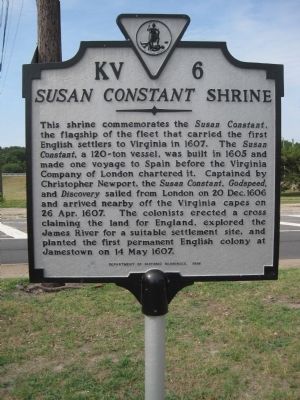
Susan Constant Shrine
Photographed by Kevin W., July 21, 2010
1. Susan Constant Shrine Marker
Erected 1998 by Department of Historic Resources. (Marker Number KV-6.)
Topics and series. This historical marker is listed in these topic lists: Colonial Era • Settlements & Settlers • Waterways & Vessels. In addition, it is included in the Virginia Department of Historic Resources (DHR) series list. A significant historical date for this entry is May 14, 1607.
Location. 36° 57.535′ N, 76° 15.554′ W. Marker is in Norfolk, Virginia. It is in West Ocean View. It is at the intersection of West
this page online

Regionally, this marker is in Virginia’s Hampton Roads, specifically in Coastal Virginia, and in the Hampton Roads Metropolitan Area. It is also in the American South, specifically in the Upper South, in the Tidewater, and on the Eastern Seaboard. Globally, it is in the North Atlantic Region, North America, the Western Hemisphere, the Western World, and the Anglosphere. Historically, it finds itself in what was once the territory of the Mississippian Culture, one of the original Thirteen Colonies, one of the Confederate States of America, and the Antebellum South.
Other nearby markers. At least 8 other markers are within 2 miles of this marker, measured as the crow flies: Flagship Sarah Constant (within shouting distance of this marker); USS Intrepid (CV-11) (about 300 feet away, measured in a direct line); Operation Torch, 1942
Photographed by Kevin W., July 21, 2010
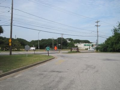
2. Susan Constant Shrine Marker
Another marker is no longer nearby. Landing of Wool and Surrender of Norfolk (was approx. 0.2 miles away but has been replaced with another marker now near it).
Additional keywords. Susan Constant Shrine
Photographed by Kevin W., July 21, 2010
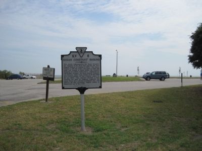
3. Susan Constant Shrine and the Flagship Sarah Constant Markers
Credits. This page was last revised on February 1, 2023. It was originally submitted on July 27, 2010, by Kevin W. of Stafford, Virginia. This page has been viewed 2,334 times since then and 77 times this year. Photos: 1, 2, 3. submitted on July 27, 2010, by Kevin W. of Stafford, Virginia.
