Tampa in Hillsborough County, Florida — The American South (South Atlantic)
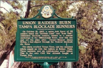
Union Raiders Burn Tampa Blockade Runners
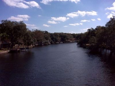
On October 18, 1863, a union task force of 85 soldiers found the “Scottish Chief” and “Kate Dale”, celebrated blockade runners, hidden in a remote anchorage in the Hillsborough River, near this site and set the ships afire. Owner-Skipper James McKay, I, had slipped through the Federal blockade six times.
The alarm reached Tampa Town and the mounted rebels caught up with the raiders at Ballast Point. Three Unionists and six confederates (sic) were killed. This is the only Civil War skirmish fought at Tampa Bay.
Erected 1990 by the Sons of Confederate Veterans, John T. Lesley Camp 1282, in cooperation with the Tampa Historical Society.
Topics and series. This historical marker is listed in these topic lists: War, US Civil • Waterways & Vessels. In addition, it is included in the Sons of Confederate Veterans/United Confederate Veterans series list. A significant historical month for this entry is October 1607.
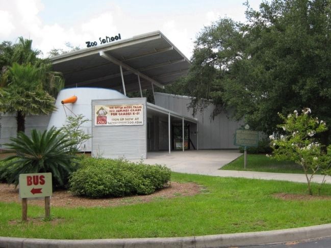
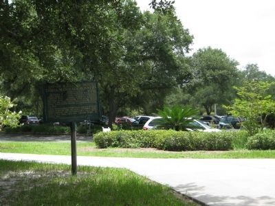
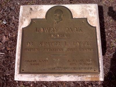
Location. 28° 0.834′ N, 82° 28.105′ W. Marker is in Tampa, Florida, in Hillsborough County. Marker can be reached from North Boulevard south of West Clinton Street, on the left when traveling north. Found in the parking lot of the Lowry Park Zoo, near the entrance to the Zoo School, and across North Boulevard from Lowry Park proper, which fronts the Hillsborough River. Touch for map. Marker is at or near this postal address: 1101 West Sligh Avenue, Tampa FL 33604, United States of America. Touch for directions.
Other nearby markers. At least 8 other markers are within 3 miles of this marker, measured as the crow flies. Angus R. Goss (approx. 2 miles away); Hillsborough County Historical Cemetery For All People (approx. 2.2 miles away); St. Mary’s Catholic Cemetery (approx. 2.6 miles away); The Babe Zaharais Golf Course (approx. 2.7 miles away); Middleton Senior High School (approx. 2.7 miles away); Forest Hills (approx. 2.7 miles away); Franciscan Center, Founded in 1970 (approx. 2.9 miles away); Cyrus Greene Park (approx. 3.1 miles away). Touch for a list and map of all markers in Tampa.
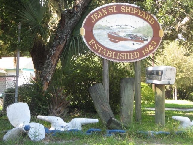
More about this marker. The historical marker is located to the north and across the Hillsborough River from the site where the raid began at the Jean Street Shipyard.
Also see . . . Targeted by the Union Navy: Jean Street Shipyard, Civil War Depot. Tampa Historical website entry (Submitted on April 14, 2022, by Larry Gertner of New York, New York.)
Credits. This page was last revised on April 15, 2022. It was originally submitted on December 16, 2007, by Mike Stroud of Bluffton, South Carolina. This page has been viewed 3,358 times since then and 63 times this year. Last updated on July 27, 2010, by Glenn Sheffield of Tampa, Florida. Photos: 1. submitted on December 16, 2007, by Mike Stroud of Bluffton, South Carolina. 2, 3. submitted on July 27, 2010, by Glenn Sheffield of Tampa, Florida. 4. submitted on July 28, 2010, by Glenn Sheffield of Tampa, Florida. 5, 6, 7. submitted on July 27, 2010, by Glenn Sheffield of Tampa, Florida. • Craig Swain was the editor who published this page.
