Southeast Tampa in Hillsborough County, Florida — The American South (South Atlantic)
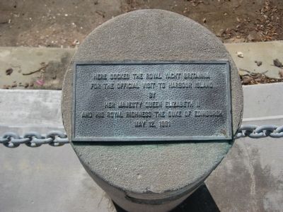
Royal Yacht Britannia
Photographed by AGS Media, July 31, 2010
1. Royal Yacht Britannia Marker
for the official visit to Harbour Island
by
Her Majesty Queen Elizabeth II
and His Royal Highness The Duke of Edinburgh
May 12, 1991
Topics. This historical marker is listed in these topic lists: Waterways & Vessels • Women. A significant historical date for this entry is May 12, 1991.
Location. 27° 56.334′ N, 82° 27.311′ W. Marker is in Tampa, Florida, in Hillsborough County. It is in Southeast Tampa. It can be reached from South Harbour Island Boulevard, on the right when traveling south. The marker is on Tampa's Harbour Island, along the waterfront of the Knight's Point complex, on a concrete mooring pile overlooking the Hillsborough River Channel, near the entrance of the Garrison and Seddon Channels. Touch for map. Marker is in this post office area: Tampa FL 33602, United States of America. Touch for directions.

Regionally, this marker is on Tampa Bay. It is also in the American South and on the Gulf Coast. Globally, it is in the North Atlantic Region, North America, a Gulf of Mexico state, the Western Hemisphere, the Western World, and the Anglosphere. Historically, it finds
this page online
Other nearby markers. At least 8 other markers are within walking distance of this marker: Gordon Keller (approx. 0.2 miles away); Site of Fort Brooke (approx. ¼ mile away); Site of Mirabella Fish Company (approx. 0.3 miles away); Jose Gasparilla (approx. 0.3 miles away); The Bayshore Boulevard (approx. 0.3 miles away); Charles Lafayette Knight (approx. 0.3 miles away); World's First Scheduled Commercial Airline (approx. 0.3 miles away); Florida's First Catholic Martyrs (approx. 0.3 miles away). Touch for a list and map of all markers in Tampa.
Other markers no longer nearby. Captain Joseph Fry (was approx. ¼ mile away but has been confirmed missing); Fort Brooke-Confederate Battery (was approx. 0.3 miles away but has been permanently removed); Dominican Proto-Martyrs of America (was approx. 0.3 miles away but has been replaced with another marker now near it).
Regarding Royal Yacht Britannia. Her Majesty's Yacht Britannia was decommissioned on 11 December 1997. HMY Britannia
Photographed by AGS Media, July 31, 2010
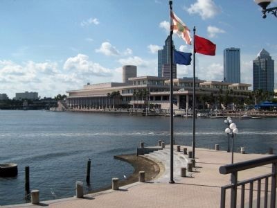
2. Royal Yacht Britannia Marker and Florida's State Flag
Additional keywords. Hillsborough River Channel, HMY
Photographed by AGS Media, July 31, 2010
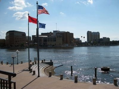
3. Royal Yacht Britannia Marker and the flag of the USA.
Photographed by AGS Media, July 31, 2010
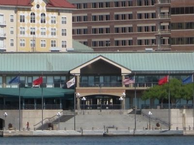
4. Site of the Royal Yacht Britannia Marker
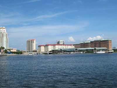
Photographed by AGS Media, July 31, 2010
5. Harbour Island
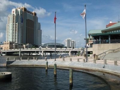
Photographed by AGS Media, July 31, 2010
6. Site of the Royal Yacht Britannia Marker
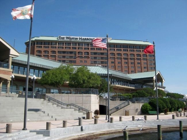
Photographed by AGS Media, July 31, 2010
7. Site of the Royal Yacht Britannia Marker
Credits. This page was last revised on July 28, 2024. It was originally submitted on August 1, 2010, by Glenn Sheffield of Tampa, Florida. This page has been viewed 1,469 times since then and 36 times this year. Photos: 1, 2, 3, 4, 5, 6, 7. submitted on August 1, 2010, by Glenn Sheffield of Tampa, Florida. • Craig Swain was the editor who published this page.
