Pontotoc in Pontotoc County, Mississippi — The American South (East South Central)
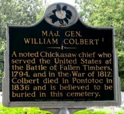
Maj. Gen. William Colbert
Erected 1987 by Mississippi Department of Archives and History.
Topics and series. This historical marker is listed in these topic lists: Cemeteries & Burial Sites • Native Americans • War of 1812 • Wars, US Indian. In addition, it is included in the Mississippi State Historical Marker Program series list. A significant historical year for this entry is 1794.
Location. 34° 15.307′ N, 89° 0.035′ W. Marker is in Pontotoc, Mississippi, in Pontotoc County. Marker is on North Main Street (State Highway 9) north of Warren Street, on the left when traveling north. Touch for map. Marker is in this post office area: Pontotoc MS 38863, United States of America. Touch for directions.
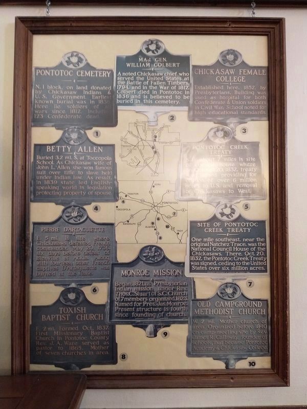
Other nearby markers. At least 8 other markers are within walking distance of this marker. Senator Charles Edward Franklin, Sr. (within shouting distance of this marker); Pontotoc Cemetery (about 300 feet away, measured in a direct line); Jim Weatherly (approx. 0.2 miles away); Pontotoc Electric Power Association (approx. half a mile away); Pontotoc Creek Treaty (approx. half a mile away); Pontotoc County Blues (approx. half a mile away); Pontotoc County Confederate Monument (approx. half a mile away); Pontotoc County Memorial Monument (approx. half a mile away). Touch for a list and map of all markers in Pontotoc.
Credits. This page was last revised on October 27, 2023. It was originally submitted on August 1, 2010, by Allen Gathman of Pocahontas, Missouri. This page has been viewed 1,507 times since then and 30 times this year. Photos: 1. submitted on August 1, 2010, by Allen Gathman of Pocahontas, Missouri. 2. submitted on October 27, 2023, by Mark Hilton of Montgomery, Alabama. 3. submitted on August 1, 2010, by Allen Gathman of Pocahontas, Missouri. 4. submitted on April 24, 2021, by Tom Bosse of Jefferson City, Tennessee. • Craig Swain was the editor who published this page.


