Harlandale in San Antonio in Bexar County, Texas — The American South (West South Central)
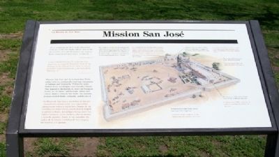
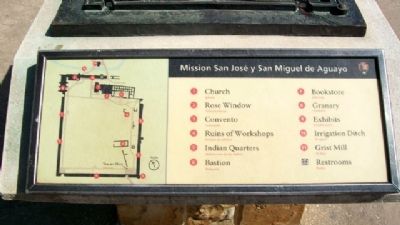
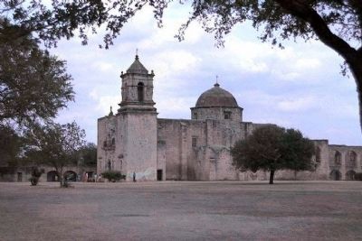
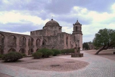
Mission San José / La Misión de San José
Inscription.
"It is truthfully the best of the Americas, and not in the like of the others; nor in all the frontier does the King have an outpost better constructed and easier to defend..."
Fr. Juan Agustín de Morfi, 1777-78
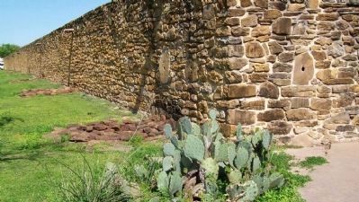
Mission San José and its surrounding fields, called labores, sustained a thriving community of Indians and Spaniards. Within the walls Indians lived, worshipped, and attended classes. They learned to blacksmith, to weave on European looms, to cut stone, and to make shoes and cotton clothes. Outside the walls, the mission Indians tended fields, orchards, and livestock.
The population of San José fluctuated greatly, depending on external threats and epidemics. Some years it approached 300. The goal of the missionaries: to teach local Indians to live and worship as Spaniards and, ultimately, to exist independently of the mission.
—————————
Es verdaderamente la mejor de esta América, y no puede llamarse corte de las demás; ni en toda la línea tiene el rey un presidio mejor construido y de más fácil defensa...
Fr. Juan Agustín de Morfi, 1777-78
La Misión de San José y sus tierras de labores circundantes mantuvieron una comunidad próspera de indios y españoles. Dentro de las murallas, los indios vivían, practicaban la religión y asistían a clases. Aprendían a herrar, tejer con telares europeos, cortar piedra y a hacer zapatos y ropa de algodón. Fuera de las murallas, los indios de la misión cuidaban de los campos, los huertos y el ganado.
La población de San José fluctuaba bastante, según las amenazas externas y las epidemias. Algunos años la población llegó a 300 personas. El propósito de los misioneros: enseñar a los indios a vivir y a rezar a la manera de los españoles y, por último, a vivir independientemente de la misión.
——————
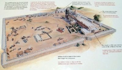
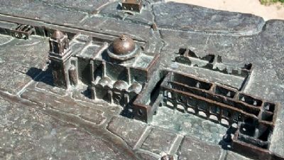
[Comments around concept drawing of mission, beginning at top right, above church, and going clockwise]
A granary (first recorded in 1755) stored enough maize to supply the population of the mission for a year.
Un granero (reseñado por prima vez en 1755) almacenaba maíz suficiente para surtir a la población de la misión durante un año.
The acequia delivered water to the surrounding fields.
La acequia llevaba agua a las tierras de labores circundantes.
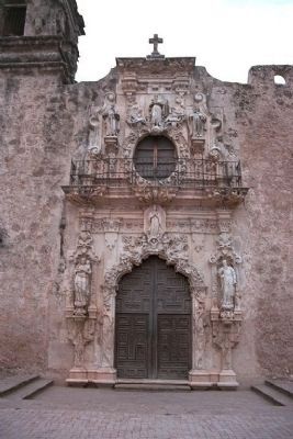
The church (c.1782) and convento, center of life at Mission San José.
La iglesia (circa 1782) y convento, centro de actividad en la Misión de San José.
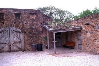
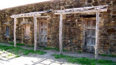
Indians lived in some of the rooms that ringed the compound.
Los indios vivían en algunas de las habitaciones que rodeaban el recinto.
Erected by National Park Service.
Topics and series. This historical marker is listed in these topic lists: Churches & Religion • Hispanic Americans • Native Americans • Settlements & Settlers. In addition, it is included in the El Camino Real de los Tejas National Historic Trail series list.
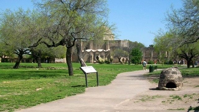
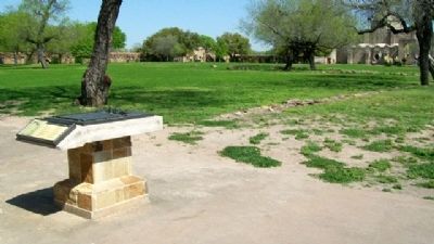
Location. 29° 21.664′ N, 98° 28.793′ W. Marker is in San Antonio, Texas, in Bexar County. It is in Harlandale. Marker is inside the Mission San Jose compound, part of the San Antonio Missions National Historic Park. Touch for map. Marker is at or near this postal address: 2202 Roosevelt Avenue, San Antonio TX 78210, United States of America. Touch for directions.
Other nearby markers. At least 8 other markers are within walking distance of this marker. The Mission Road / El Camino de las Misiones (within shouting distance of this marker); San Antonio Missions / Las misiones de San Antonio (about 300 feet away, measured in a direct line); The Convento / El convento (about 300 feet away); Rose Window / Ventana de Rosa (about 400 feet away); Indian Quarters / Habitaciones de los Indios (about 400 feet away); Fray Antonio Margil de Jesús (about 400 feet away); The Church / La iglesia (about 600 feet away); Hot Wells Hotel (approx. 0.6 miles away). Touch for a list and map of all markers in San Antonio.
Also see . . .
San Antonio Missions National Historical Park. (Submitted on August 4, 2010, by William Fischer, Jr. of Scranton, Pennsylvania.)
Credits. This page was last revised on February 2, 2023. It was originally submitted on August 3, 2010, by William Fischer, Jr. of Scranton, Pennsylvania. This page has been viewed 2,936 times since then and 32 times this year. Photos: 1, 2, 3, 4, 5, 6, 7, 8. submitted on August 4, 2010, by William Fischer, Jr. of Scranton, Pennsylvania. 9, 10, 11, 12. submitted on August 5, 2010, by Mike Stroud of Bluffton, South Carolina. 13, 14. submitted on August 4, 2010, by William Fischer, Jr. of Scranton, Pennsylvania. 15. submitted on August 3, 2010, by William Fischer, Jr. of Scranton, Pennsylvania.
