Near Colonial Beach in Westmoreland County, Virginia — The American South (Mid-Atlantic)
Popes Creek Plantation
Photographed by Patrick G. Jordan, August 3, 2010
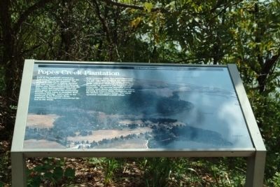
1. Popes Creek Plantation Marker
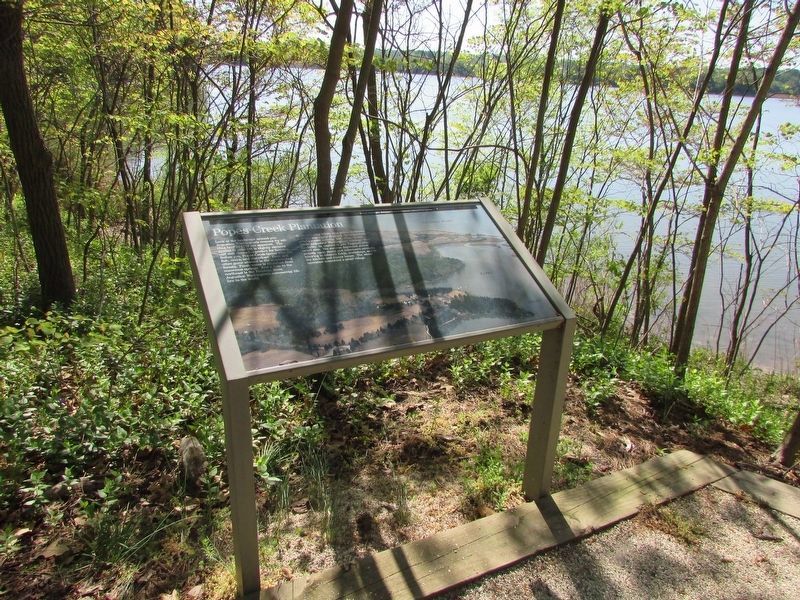
In an economy where crop prices fluctuated and soil was easily depleted, the acquisition of land meant security and, often, wealth. While Augustine Washington's holdings were moderate, he aspired to join Virginia's propertied elite. His success depended almost entirely upon slaves and indentured servants laboring in tobacco fields, workshops, and in the kitchen and manor house. The whole operation resembled a small village.
Erected by National Park Service.
Topics. This historical marker is listed in these topic lists: Agriculture • Colonial Era. A significant historical year for this entry is 1718.
Location. Marker has been permanently removed. It was located near 38° 11.073′ N,
this page online
We have been informed that this marker is no longer there and will not be replaced. This page is an archival view of what was.
Regionally, this marker was on Virginia’s Northern Neck. It was also in the American South, specifically in the Upper South, in the Tidewater, in the Chesapeake Bay Region, and on the Eastern Seaboard. Globally, it was in the North Atlantic Region, North America, the Western Hemisphere, the Western World, and the Anglosphere. Historically, it found itself in what was once the territory of the Mississippian Culture, one of the original Thirteen Colonies, one of the Confederate States of America, and the Antebellum South.

Other nearby markers. At least 8 other markers are within walking distance of this location: The Tidewater Gentry
Photographed by Bill Coughlin, April 19, 2023
2. Popes Creek Plantation Marker
Other markers no longer nearby. George Washington’s Birthplace (was about 300 feet away, measured in a direct line but has been permanently removed); Archeology at Popes Creek (was about 300 feet away but has been permanently removed); The Memorial Area (was about 400 feet away but has been permanently removed); The Historic Area (was about 500 feet away but has been permanently removed).
Also see . . . George Washington Birthplace National Monument. Website of the National Park Service. (Submitted on August 8, 2010, by Patrick G. Jordan of Graham, North Carolina.)
Photographed by Patrick G. Jordan, August 3, 2010
3. Popes Creek Plantation Marker
Photographed by Patrick G. Jordan, August 2, 2010
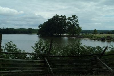
4. The Land That Was Once Popes Creek Plantation Overlooking the Potomac River
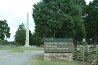
Photographed by Patrick G. Jordan, August 3, 2010
5. George Washington Birthplace National Monument
Credits. This page was last revised on July 18, 2026. It was originally submitted on August 8, 2010, by Patrick G. Jordan of Graham, North Carolina. This page has been viewed 1,862 times since then and 72 times this year. Photos: 1. submitted on August 8, 2010, by Patrick G. Jordan of Graham, North Carolina. 2. submitted on April 28, 2023, by Bill Coughlin of Woodland Park, New Jersey. 3, 4, 5. submitted on August 8, 2010, by Patrick G. Jordan of Graham, North Carolina. • Bill Pfingsten was the editor who published this page.
