Overton in Clark County, Nevada — The American Mountains (Southwest)
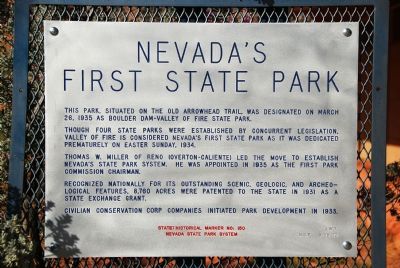
Nevada’s First State Park
Though four state parks were established by concurrent legislation, Valley of Fire is considered Nevada's first state park as it was dedicated prematurely on Easter Sunday, 1934.
Thomas W. Miller of Reno (Overton-Caliente) led the move to establish Nevada's State Park System. He was appointed in 1935 as the first Park Commission Chairman.
Recognized nationally for its outstanding scenic, geologic, and archaeological features, 8,760 acres were patented to the State in 1931 as a State exchange grant.
Civilian Conservation Corp companies initiated park development in 1933.
State Historical Marker No. 150
Nevada State Park System
Erected 1972 by Nevada State Park System. (Marker Number 150.)
Topics. This historical marker is listed in these topic lists: Anthropology & Archaeology • Environment • Parks & Recreational Areas. A significant historical month for this entry is March 1924.
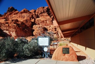
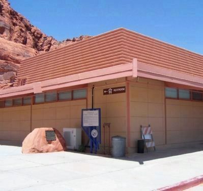
Location. 36° 25.796′ N, 114° 30.838′ W. Marker is near Overton, Nevada, in Clark County. Marker can be reached from Visitor Center Road. This marker is located inside the Valley of Fire State Park at the visitor center. Touch for map. Marker is in this post office area: Overton NV 89040, United States of America. Touch for directions.
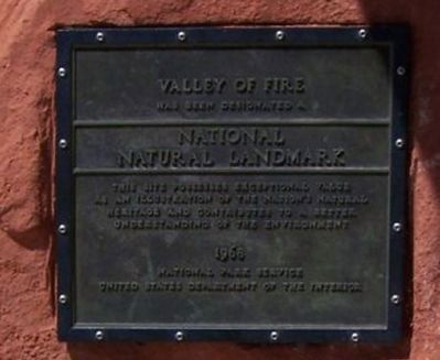
Other nearby markers. At least 8 other markers are within 4 miles of this marker, measured as the crow flies. Valley of Fire (here, next to this marker); The Cabins (approx. 1.8 miles away); Silica Dome (approx. 1.9 miles away); Atlatl Rock (approx. 2.1 miles away); Beehives (approx. 2.2 miles away); In Memory of Sergeant John J. Clark (approx. 2.7 miles away); Arrowhead Trail (approx. 2.8 miles away); Valley of Fire Behind the Camera (approx. 3.7 miles away). Touch for a list and map of all markers in Overton.
Also see . . .
1. Valley of Fire State Park. (Submitted on November 10, 2007, by Karen Key of Sacramento, California.)
2. Wikipedia: Thomas W. Miller. (Submitted on November 10, 2007, by Karen Key of Sacramento, California.)

Photographed By Karen Key, October 2, 2007
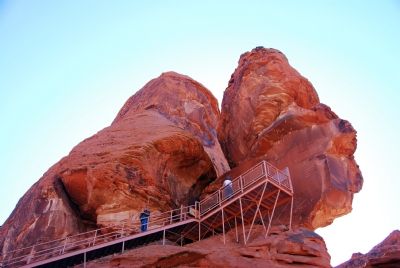
5. Atlatl Rock
An atlatl is a throwing stick or a dart thrower used by ancient tribes to give more force to their darts or spears. It was usually a wooden stick about two feet long with a handhold on one end and a hook on the other end. A slot cut inn the tail end of the dart was set against the hook allowing the dart to lie along the atlatl so that both could be grasped midway of the dart by the user.
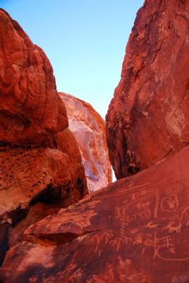
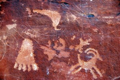
These petroglyphs were made by ancient tribes. Respect their antiquity. Help preserve them.
These petroglyphs were made by ancient tribes. Respect their antiquity. Help preserve them.
Credits. This page was last revised on February 7, 2023. It was originally submitted on November 10, 2007, by Karen Key of Sacramento, California. This page has been viewed 1,950 times since then and 23 times this year. Photos: 1, 2. submitted on November 10, 2007, by Karen Key of Sacramento, California. 3, 4. submitted on June 16, 2010, by Mike Stroud of Bluffton, South Carolina. 5, 6, 7, 8. submitted on November 10, 2007, by Karen Key of Sacramento, California.
