Stratford in Westmoreland County, Virginia — The American South (Mid-Atlantic)
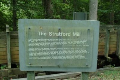
The Stratford Mill
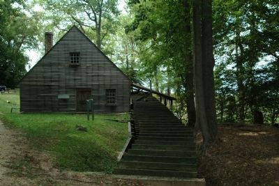
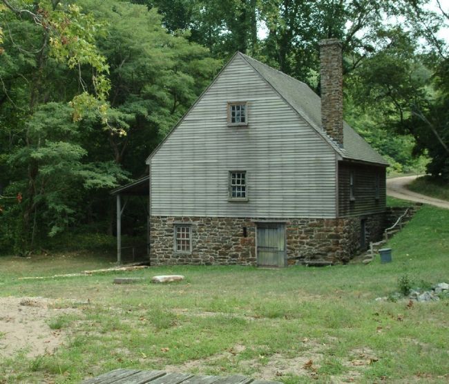
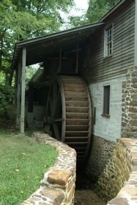
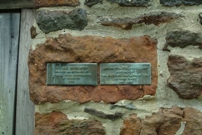
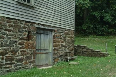
When the Robert E. Lee Memorial Foundation purchased Stratford in 1929, the mill walls had collapsed, the wheel had fallen into the tail race, and the pond was full of trees. In 1936 the Civilian Conservation Corps (C.C.C.) stationed at Westmoreland State Park cleared the mill road and pond site. Senator and Mrs. Jesse Metcalf of Rhode Island largely financed the rebuilding of the structure based on drawings by architect Fiske Kimball. James Ford Bell, President of General Mills, commissioned milling engineers B.W. Dedrick and Alden Ackles to locate suitable old wooden machinery which millwright John Fitz, of the Fitz Water Wheel Company, installed as a gift from General Mills. Stratford opened the gristmill to the public in October 1939, and it is still regarded as one of the best operating mill reconstructions in the United States.
Topics and series. This historical marker is listed in these topic lists: Agriculture • Colonial Era • Industry & Commerce. In addition, it is included in the Civilian Conservation Corps (CCC) series list. A significant historical month for this entry is October 1939.
Location. 38° 9.752′ N, 76° 49.905′ W. Marker is in Stratford, Virginia, in Westmoreland County. Marker can be reached from Great House Road. The marker is on the grounds of Stratford Hall Plantation, the birthplace of Robert E. Lee. The historic site is on Stratford Hall Road (VA Highway 214), on the left when traveling east. The site is open to the public, for a fee. Touch for map. Marker is in this post office area: Stratford VA 22558, United States of America. Touch for directions.
Other nearby markers. At least 8 other markers are within walking distance of this marker. Controlling the Water Supply to the Mill (within shouting distance of this marker); Stratford Landing: Significant Events (within shouting distance of this marker); The Landing: Gateway to the World (within shouting distance of this marker); The Stratford Cliffs (approx. ¼ mile away); Clifts Plantation Site (approx. 0.4 miles away); Clifts Plantation Burial Ground (approx. 0.4 miles away); Slave Cemetery (approx. ¾ mile away); a different marker also named Slave Cemetery (approx. 0.8 miles away). Touch for a list and map of all markers in Stratford.
Also see . . . Stratford Hall Historic Site. (Submitted on August 15, 2010, by Paul Jordan of Burlington, N. C., U. S. A..)
Credits. This page was last revised on June 16, 2016. It was originally submitted on August 15, 2010, by Paul Jordan of Burlington, N. C., U. S. A.. This page has been viewed 676 times since then and 30 times this year. Photos: 1, 2, 3, 4, 5, 6, 7. submitted on August 15, 2010, by Paul Jordan of Burlington, N. C., U. S. A.. • Bill Pfingsten was the editor who published this page.
