Penn's Landing in Philadelphia in Philadelphia County, Pennsylvania — The American Northeast (Mid-Atlantic)
Glomar Explorer
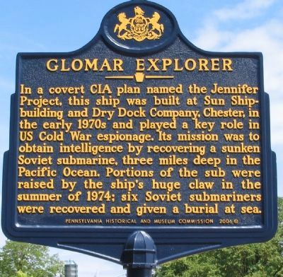
Photographed by Craig Swain, August 14, 2010
1. Glomar Explorer Marker
Erected 2006 by Pennsylvania Historical and Museum Commission.
Topics and series. This historical marker is listed in these topic lists: War, Cold • Waterways & Vessels. In addition, it is included in the Pennsylvania Historical and Museum Commission (PHMC) series list. A significant historical year for this entry is 1974.
Location. 39° 56.776′ N, 75° 8.411′ W. Marker is in Philadelphia, Pennsylvania, in Philadelphia County. It is in Penn's Landing. It is at the intersection of South Christopher Columbus Boulevard and Walnut Street, on the right when traveling east on South Christopher Columbus Boulevard. Located at the entrance to the Philadelphia Seaport Museum. Touch for map.
this page online

Regionally, this marker is in Southeast Pennsylvania. It is also in the American Northeast and in the Mid-Atlantic. Globally, it is in North America, the Western Hemisphere, the Western World, and the Anglosphere. Historically, it finds itself in what was once the Haudenosaunee (Iroquois) Confederacy, New Netherland, and one of the original Thirteen Colonies.
Other nearby markers. At least 8 other markers are within walking distance of this marker: Pennsylvania Nautical School & Pennsylvania Maritime Academy, 1889 - 1947 (a few steps from this marker); The Pennsylvania Slave Trade (within shouting distance of this marker); The Liberation of Jane Johnson (within shouting distance of this marker); Philadelphia Firsts (within shouting distance of this marker); William Penn's Philadelphia (within shouting distance of this marker); 1702 (within shouting distance of this marker); The Growth of the City / The Trees of the City (within shouting distance of this marker); 1754 (about 300
via Wikipedia, December 18, 2025
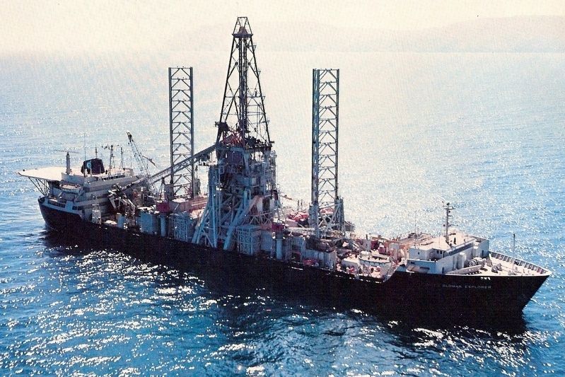
2. Glomar Explorer
Related marker. Click here for another marker that is related to this marker. For some time the Glomar Explorer was laid up as part of the Reserve Fleet.
Also see . . .
1. Project Jennifer: Hughes Glomar Explorer. Federation of American Scientists website entry (Submitted on December 18, 2025, by Larry Gertner of New York, New York.)
2. Project Azorian (aka Project Jennifer). Wikipedia entry (Submitted on December 18, 2025, by Larry Gertner of New York, New York.)
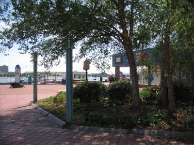
Photographed by Craig Swain, August 14, 2010
3. Glomar Explorer Marker
Photographed by Keith S Smith, June 28, 2015
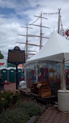
4. Glomar Explorer Marker
Tall Ships visit Philadelphia June 2015
Credits. This page was last revised on December 18, 2025. It was originally submitted on August 16, 2010, by Craig Swain of Leesburg, Virginia. This page has been viewed 3,030 times since then and 57 times this year. Photos: 1. submitted on August 16, 2010, by Craig Swain of Leesburg, Virginia. 2. submitted on December 18, 2025, by Larry Gertner of New York, New York. 3. submitted on August 16, 2010, by Craig Swain of Leesburg, Virginia. 4. submitted on November 4, 2015, by Keith S Smith of West Chester, Pennsylvania.
