Flintstone in Allegany County, Maryland — The American Northeast (Mid-Atlantic)
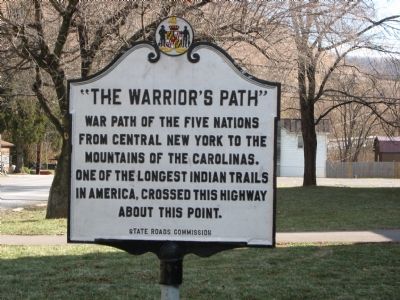
“The Warrior’s Path”
Erected by State Roads Commission.
Topics and series. This historical marker is listed in these topic lists: Colonial Era • Native Americans • Roads & Vehicles. In addition, it is included in the Maryland Historical Trust series list.
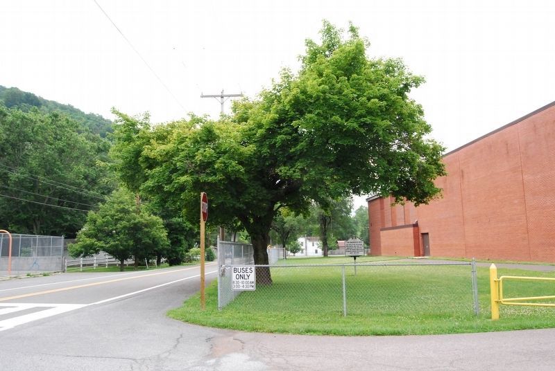
Location. 39° 42.12′ N, 78° 33.866′ W. Marker is in Flintstone, Maryland, in Allegany County. Marker is on Historic National Road (Maryland Route 144) 0.2 miles east of Murley's Branch Road, on the right when traveling east. Touch for map. Marker is in this post office area: Flintstone MD 21530, United States of America. Touch for directions.
Other nearby markers. At least 8 other markers are within 7 miles of this marker, measured as the crow flies. Veterans Memorial (approx. 0.2 miles away); Martins Mountain (approx. 4.6 miles away); Life in Pleasant Valley (approx. 4.6 miles away); The Naming of the Lake (approx. 5.2 miles away); American Indian Rockshelter Trail (approx. 5.2 miles away); Evart's Homesite (approx. 5.4 miles away); McCausland's Raid (approx. 5.9 miles away); Twiggtown (approx. 6˝ miles away). Touch for a list and map of all markers in Flintstone.
Credits. This page was last revised on December 23, 2020. It was originally submitted on November 11, 2007, by F. Robby of Baltimore, Maryland. This page has been viewed 1,911 times since then and 57 times this year. Photos: 1. submitted on November 11, 2007, by F. Robby of Baltimore, Maryland. 2. submitted on December 18, 2020, by Mike Wintermantel of Pittsburgh, Pennsylvania.

