Near Westpoint in Tippecanoe County, Indiana — The American Midwest (Great Lakes)
The Wea Plains
Inscription.
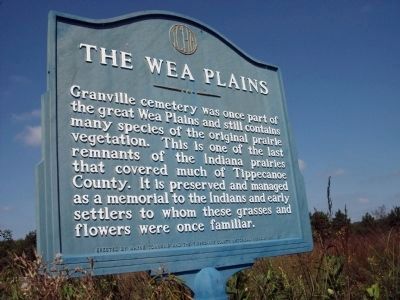
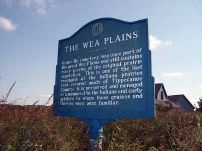
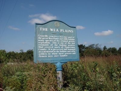
Granville cemetery was once part of the great Wea Plains and still contains many species of the original prairie vegetation. This is one of the last remnants of the Indiana prairies that covered much of Tippecanoe County. It is preserved and managed as a memorial to the Indians and early settlers to who these grasses and flowers were once familiar.
Erected 1977 by Wayne Township, Tippecanoe County Historical Association.
Topics. This historical marker is listed in these topic lists: Cemeteries & Burial Sites • Native Americans • Settlements & Settlers.
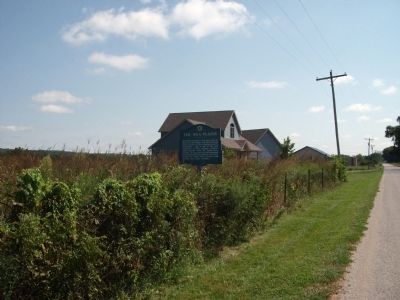
Location. 40° 24.365′ N, 87° 1.531′ W. Marker is near Westpoint, Indiana, in Tippecanoe County. Marker is on County Road W 75 S east of Voyager Way, on the left when traveling east. Touch for map. Marker is in this post office area: Lafayette IN 47909, United States of America. Touch for directions.
Other nearby markers. At least 8 other markers are within 6 miles of this marker, measured as the crow flies. Granville (approx. 0.6 miles away); Post Ouiatenon Site (approx. 3.2 miles away); Liberty Tree (approx. 3.2 miles away); Site of the Birth Place of Rev. Anthony Foucher (approx. 3.3 miles away); Fort Ouiatenon (approx. 3.3 miles away); Trail of Death (approx. 4.2 miles away); Universal Soil Loss Equation (approx. 5.7 miles away); The Purdue Flagpole (approx. 6 miles away).
Credits. This page was last revised on June 16, 2016. It was originally submitted on August 26, 2010, by Al Wolf of Veedersburg, Indiana. This page has been viewed 1,242 times since then and 37 times this year. Photos: 1, 2, 3, 4. submitted on August 26, 2010, by Al Wolf of Veedersburg, Indiana. • Syd Whittle was the editor who published this page.


