West Freemason in Norfolk, Virginia — The American South (Mid-Atlantic)
USS Scorpion (SSN-589)
Photographed by Sandra Hughes, August 11, 2010
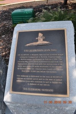
1. USS Scorpion (SSN-589) Marker
This memorial is dedicated to the men of Scorpion who are on eternal patrol and to the men of today's submarine force who continue to sail in harm's way in defense of our nation.
U.S. Submarine Veterans
Erected 2002 by U.S. Submarine Veterans.
Topics and series. This historical marker is listed in these topic lists: Military • Notable Events • Waterways & Vessels. In addition, it is included in the Lost at Sea, and the Still On Patrol series lists. A significant historical month for this entry is February 1968.
Location. 36° 50.92′ N, 76° 17.665′ W. Marker is in Norfolk, Virginia. It is in West Freemason. It is on Bousch Street near Wisconsin Square ft of Harbor St.. Touch for map. Marker is in this post office area: Norfolk VA 23510, United States of America. Touch for directions.

Regionally, this marker is in Hampton Roads, specifically in Coastal Virginia, and in the Hampton Roads Metropolitan Area. It is also in the American South, specifically in the Upper South, in the Tidewater, and on the Eastern Seaboard. Globally, it is in the North Atlantic Region, North America, the Western Hemisphere, the Western World, and the Anglosphere. Historically, it finds itself in what was once the territory of the Mississippian Culture, one of the original Thirteen Colonies, one of the Confederate States of America, and the Antebellum South.
Other nearby markers. At least 8 other markers are within walking
this page online
Also see . . .
1. USS Scorpion - Historynet. (Submitted on September 2, 2010, by Bill Pfingsten of Bel Air, Maryland.)
2. USS Scorpion - Wikipedia. (Submitted on September 2, 2010, by Bill Pfingsten of Bel Air, Maryland.)
Photographed by Brandon D Cross
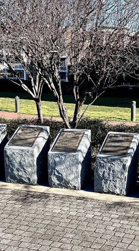
2. USS Scorpion (SSN-589) Marker (Right)
Photographed by Evan Dwyer, April 21, 2018
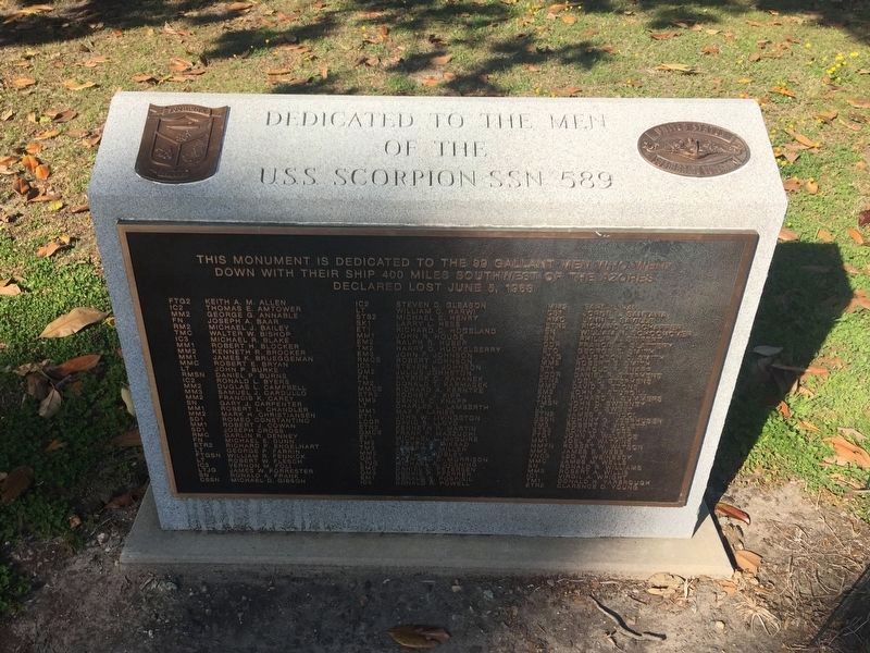
3. USS Scorpion (SSN-589) Memorial
This memorial to Scorpion's crew is located in Huntington Park, Newport News, on the opposite side of Hampton Roads from Norfolk.
Photographed by US Navy, April 10, 1968
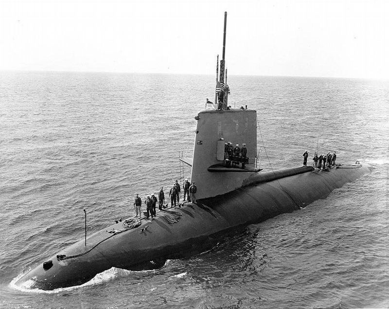
4. USS Scorpion (SSN-589) in April 1986
Near Naples, six weeks before her fatal accident. Public Domain USN Naval History & Heritage Command Photograph NH 70305
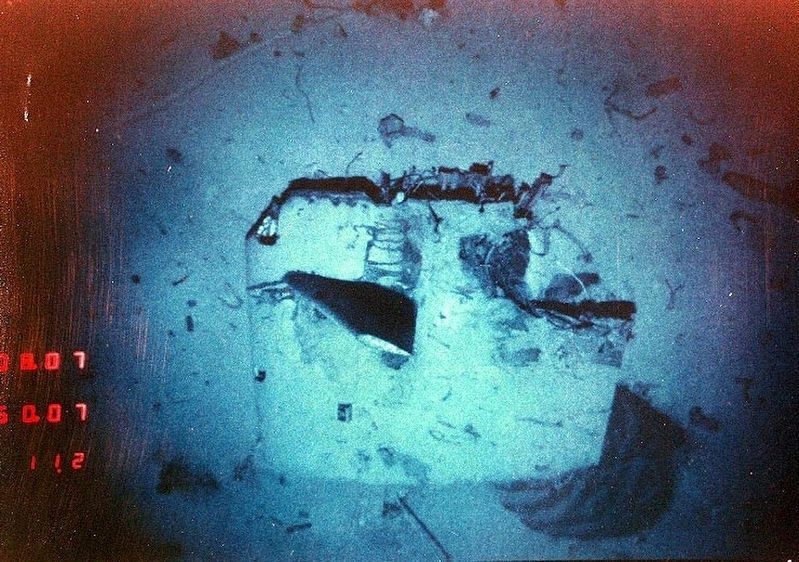
Photographed by Woods Hole Oceanographic Institute, 1986
5. USS Scorpion (SSN-589) Wreckage
View of the detached sail of Scorpion, 10,000 feet deep in the Atlantic as surveyed and photographed in August 1986. The dive planes and the general shape of the sail are immediately recognizable when compared to the previous photograph. Public Domain USN Naval Historical & Heritage Command Photo # NH 97223-KN.
Credits. This page was last revised on July 11, 2026. It was originally submitted on August 27, 2010, by Sandra Hughes Tidwell of Killen, Alabama, USA. This page has been viewed 1,420 times since then and 78 times this year. Photos: 1. submitted on August 27, 2010, by Sandra Hughes Tidwell of Killen, Alabama, USA. 2. submitted on January 19, 2022, by Brandon D Cross of Flagler Beach, Florida. 3, 4, 5. submitted on June 25, 2026, by Evan Dwyer of Richmond, Virginia. • Bill Pfingsten was the editor who published this page.
