
Near Winchester in Frederick County, Virginia — The American South (Mid-Atlantic)
Fight for the High Ground
Photographed by Craig Swain, October 20, 2007
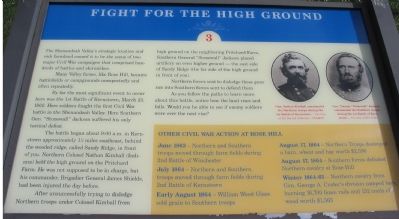
1. Fight for the High Ground Marker
Many Valley farms, like Rose Hill, became battlefields or campgrounds unexpectedly and often repeatedly.
By far the most significant event to occur here was the 1st Battle of Kernstown, March 23, 1862. Here soldiers fought the first Civil War battle in the Sheanandoah Valley. Here Southern Gen. "Stonewall" Jackson suffered his only tactical defeat.
The battle began about 9:00 a.m. in Kernstown approximately 1½ miles southeast, behind the wooded ridge, called Sandy Ridge, in front of you. Northern Colonel Nathan Kimball (Indiana) held the high ground on the Pritchard Farm. He was not supposed to be in charge, but his commander, Brigadier General James Shields, had been injured the day before.
After unsuccessfully trying to dislodge Northern troops under Colonel Kimball from high ground on the neighboring Pritchard Farm, Southern General "Stonewall" Jackson placed artillery on even higher ground - the east side of Sandy Ridge (the far side of the high ground
this page online
Northern forces sent to dislodge these guns ran into Southern forces sent to defend them.
As you follow the paths to learn more about this battle, notice how the land rises and falls. Would you be able to see if enemy soldiers were over the next rise?
Other Civil War Action at Rose Hill
June 1863 - Northern and Southern troops moved through farm fields during the 2nd Battle of Winchester.
July 1864 - Northern and Southern troops moved through farm fields during 2nd Battle of Kernstown.
Early August 1864 - William Wood Glass sold grain to Southern troops.
August 17, 1864 - Northern Troops destroyed the barn, wheat and hay worth $2,590.
August 17, 1864 - Southern forces defeated Northern cavalry at Rose Hill.
Winter 1864-65 - Northern cavalry from Gen. George A. Custer's division camped here, burning 16,700 fence rails and 132 cords of wood worth $1,565.
Topics. This historical marker is listed in this topic list: War, US Civil. A significant historical date for this entry is March 23, 1863.
Location. 39° 9.133′ N, 78° 13.073′ W. Marker is near Winchester, Virginia, in Frederick County. It can be reached from Jones Road (County Route 621),
Photographed by Craig Swain, October 20, 2007
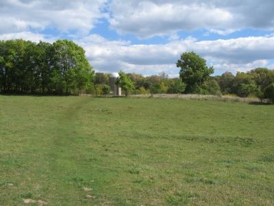
2. Walking Tour Stop Three for Rose Hill

Regionally, this marker is in Virginia’s Shenandoah Valley. It is also in the American South, specifically in the Upper South, and in the Mid-Atlantic. Globally, it is in North America, the Western Hemisphere, the Western World, and the Anglosphere. Historically, it finds itself in what was once the territory of the Mississippian Culture, one of the original Thirteen Colonies, one of the Confederate States of America, and the Antebellum South.
Other nearby markers. At least 8 other markers are within walking distance of this marker: Northern Victory, Southern Defeat (about 400 feet away, measured in a direct line); War In The Backyard (about 500 feet away); How To See the Battlefield (about 500 feet away); The Defense of the Stone Wall (about 600 feet away); Rose Hill (about 700 feet away); The First Battle Of Kernstown
Photographed by Craig Swain, October 20, 2007
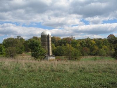
3. Sandy Ridge
The wooded ridge in the background served as an artillery position during the battle.
Other markers no longer nearby. War in the Backyard (was about 600 feet away but has been permanently removed); a different marker also named The Defense of the Stone Wall (was about 700 feet away but has been reported to have been replaced with another marker now near it); a different marker also named Rose Hill (was approx. 0.2 miles away but has been replaced with another marker now near it).
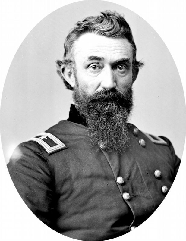
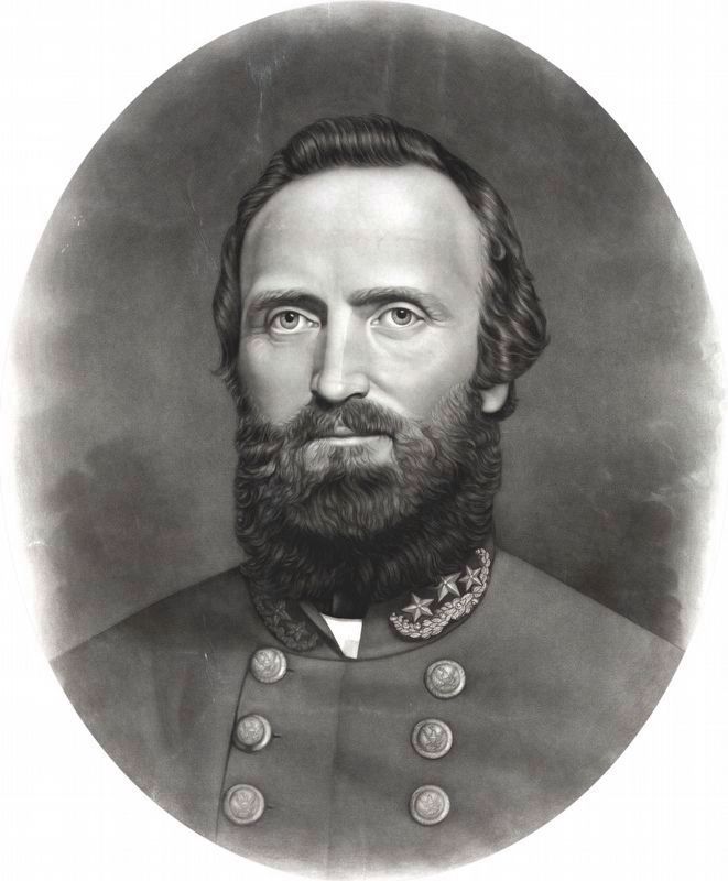
More about this marker. On the upper right side of the marker are portraits of Gens. Kimball and Jackson. "Gen. Nathan Kimball commanded the Northern troops during the 1st Battle of Kernstown." "Gen. Thomas "Stonewall" Jackson commanded the southern troops during the 1st Battle of Kernstown."
Regarding Fight for the High Ground. This is one of seven battlefield interpretive markers at Rose Hill. See the related markers section below for a listing of the walking tour, or the Kernstown Battles Virtual Tour by Markers in the links section for a driving
Photographed by Craig Swain, October 20, 2007
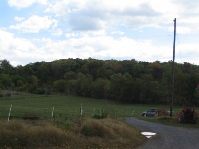
4. Southern Section of Sandy Ridge
Related markers. Click here for a list of markers that are related to this marker. To better understand the relationship, study each marker in the order shown.
Also see . . . Battle of First Kernstown Summary. The action around Rose Hill is discussed in phase three of this National Parks Service battle summary. (Submitted on November 12, 2007, by Craig Swain of Leesburg, Virginia.)
Library of Congress
5. Gen. Nathan Kimball
Gen. Nathan Kimball commanded the Northern troops during the 1st Battle of Kernstown.
Library of Congress
6. Gen. Thos. J. Jackson, ("Stonewall")
Gen. Thomas "Stonewall" Jackson commanded the southern troops during the 1st Battle of Kernstown.
Photographed by Bradley Owen, October 18, 2017
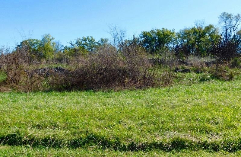
7. Sandy Ridge
With the new trail created by the Museum of the Shenandoah Valley, the interpretive signage is placed much closer to the events described, such as here at the outcropping of Sandy Ridge.
Credits. This page was last revised on April 7, 2021. It was originally submitted on November 12, 2007, by Craig Swain of Leesburg, Virginia. This page has been viewed 1,995 times since then and 35 times this year. Photos: 1, 2, 3, 4. submitted on November 12, 2007, by Craig Swain of Leesburg, Virginia. 5, 6. submitted on November 2, 2018, by Allen C. Browne of Silver Spring, Maryland. 7. submitted on April 5, 2021, by Bradley Owen of Morgantown, West Virginia.
