Near Manassas in Prince William County, Virginia — The American South (Mid-Atlantic)
Mitchell's Ford
Confederate Strongpoint
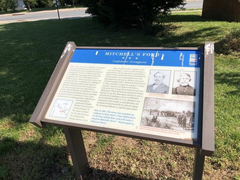
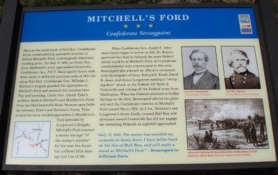
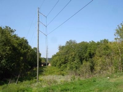
Here on the south bank of Bull Run, Confederate forces constructed log-and-earth trenches to defend Mitchell’s Ford, a strategically important crossing point. On July 17, 1861, as Union Gen. Irvin McDowell’s army approached Centreville, Confederate Gen. P.G.T. Beauregard’s forces withdrew south to defensive positions such as this one along Bull Run. Confederate Gen. Milledge L. Bonham’s brigade guarded the approaches to Mitchell’s Ford and manned the trenches here. The next morning, Union Gen. Daniel Tyler’s artillery fired at Mitchell’s and Blackburn’s Fords from the Old Centreville Road. Because open fields lay between Tyler’s and Bonham’s forces, Tyler probed the more wooded approaches to Blackburn’s Ford defended by Longstreet’s Brigade. Mitchell’s Ford received a steady barrage “of the enemy’s missiles” for the next five hours but suffered little damage and loss of life.
When Confederate Gen. Joseph E. Johnston’s forces began to arrive on July 20, Beauregard told him that he believed the main Federal attack would be at Mitchell’s Ford; all Confederate reinforcements were concentrated in this area. Beauregard also planned an offensive movement with the brigades of Gens. Richard E. Ewell, David R. Jones, and James Longstreet making a “swinging-door” attack on the Federal left flank at Centreville and cutting off the Federal army from Washington. When the Federals attacked at Sudley Springs on the 21st, Beauregard altered his plans and sent the Confederate reserves at Mitchell’s Ford toward Henry Hill. At 5 P.M., Bonham’s and Longstreet’s forces finally crossed Bull Run and advanced toward Centreville but did not engage the retreating Federals as nightfall approached.
"July 17, 1861. The enemy has assailed my outposts in heavy force. I have fallen back on the line of Bull Run, and will make a stand at Mitchell’s Ford." – Beauregard to Jefferson Davis.
Erected 2010 by Virginia Civil War Trails.
Topics and series. This historical marker is listed in this topic list: War, US Civil. In addition, it is included in the Virginia Civil War Trails series list. A significant historical date for this entry is July 17, 1861.
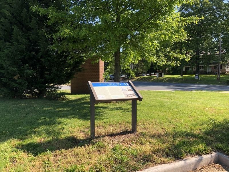
Location. 38° 47.416′ N, 77° 27.499′ W. Marker is near Manassas, Virginia, in Prince William County. Marker is on Old Centreville Road (Route 616), on the right when traveling south. Marker is located at Yorkshire Elementary School. Touch for map. Marker is at or near this postal address: 7610 Old Centreville Road, Manassas VA 20111, United States of America. Touch for directions.
Other nearby markers. At least 8 other markers are within 2 miles of this marker, measured as the crow flies. Veterans Memorial (approx. half a mile away); Wilmer McLean after the Civil War
(approx. 0.6 miles away); Wilmer McLean’s Yorkshire (approx. 0.6 miles away); McLean Farm (approx. 0.6 miles away); Blackburn's Ford (approx. one mile away); a different marker also named Blackburn’s Ford (approx. one mile away); The Centreville Confederate Military Railroad (approx. 1½ miles away); Weir Family Cemetery (approx. 1.6 miles away). Touch for a list and map of all markers in Manassas.
More about this marker. The lower left of the marker displays a map of the area of Mitchell's Ford depicting the Bull Run defensive line. The upper right of the marker contains two portraits captioned Gen. P.G.T. Beauregard Courtesy Library of Congress and Gen. M.L. Bonham Courtesy Museum of the Confederacy. The lower left of the marker has a sketch captioned Sherman's Batteries firing on Mitchell's and Blackburn's Fords Sketch by Alfred Waud, Pictoral Battles of the Civil War.
Also see . . . First Bull Run, Situation July 18, 1861. Map of Bull Run defensive line (Submitted on August 29, 2010.)
Credits. This page was last revised on May 15, 2021. It was originally submitted on August 29, 2010. This page has been viewed 2,649 times since then and 65 times this year. Photos: 1. submitted on May 15, 2021, by Devry Becker Jones of Washington, District of Columbia. 2. submitted on August 29, 2010. 3. submitted on May 15, 2021, by Devry Becker Jones of Washington, District of Columbia. 4. submitted on August 29, 2010. • Craig Swain was the editor who published this page.


