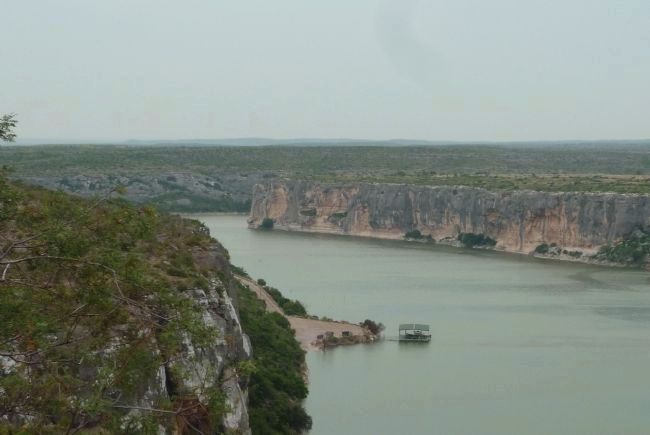
Near Comstock in Val Verde County, Texas — The American South (West South Central)
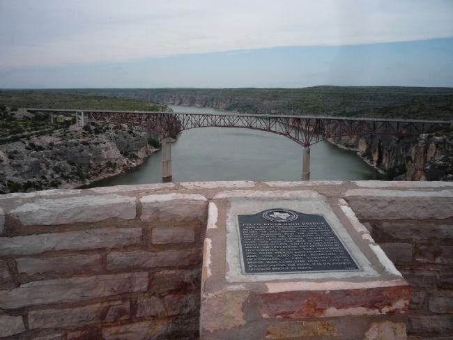
Pecos High Bridge
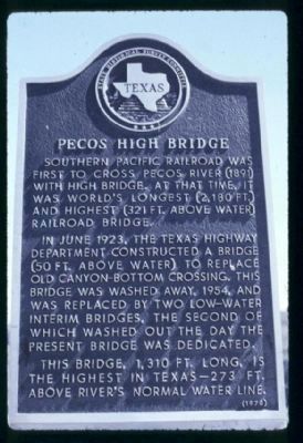
In June 1923, the Texas Highway Department constructed a bridge (50 ft. above water) to replace old canyon-bottom crossing. This bridge was washed away, 1954, and was replaced by two low-water interim bridges, the second of which washed out the day the present bridge was dedicated.
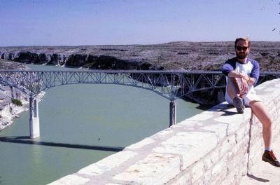
This bridge, 1310 ft long, is the highest in Texas – 273 ft. above river’s normal water line.
Erected 1970 by State Historical Survey Committee.
Topics and series. This historical marker is listed in these topic lists: Bridges & Viaducts • Natural Features • Notable Places • Railroads & Streetcars. In addition, it is included in the Southern Pacific Railroad series list. A significant historical month for this entry is June 1923.
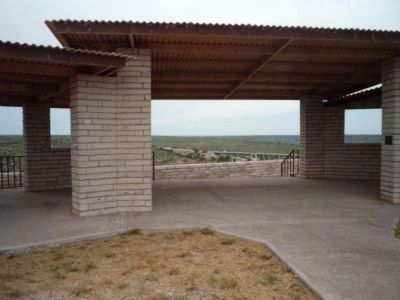
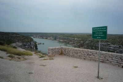
Location. This marker has been replaced by another marker nearby. 29° 42.371′ N, 101° 21.201′ W. Marker is near Comstock, Texas, in Val Verde County. Marker can be reached from U.S. 90. From Del Rio, take US 90 about 45-50 miles west to the bridge. The roadside park/scenic view area is at the end of Park Rd. 67 which is accessible off US 90 approximately 0.2 mile east of the bridge. Touch for map. Marker is in this post office area: Comstock TX 78837, United States of America. Touch for directions.
Other nearby markers. At least 8 other markers are within 14 miles of this location, measured as the crow flies. Medal of Honor Fight, 1875 (here, next to this marker); Pecos River High Bridge (here, next to this marker); The Pecos River in Literature and Folklore (a few steps from this marker); Near Site, Southern Pacific Ceremony of Silver Spike (approx. 4.6 miles away); Site of Vinegarroon (approx. 4.6 miles away); Railroad Bridges Over the Pecos (approx. 4.6 miles away); Eagle’s Nest (approx. 14 miles away); Robert Thomas Hill (approx. 14 miles away). Touch for a list and map of all markers in Comstock.
Regarding Pecos High Bridge. A replacement marker was erected by the Texas Historical Commission in 1996. Please see the Pecos River High Bridge Marker in the "Other nearby markers" section above.
Also see . . . Horsehead Crossing on the Pecos. The steep walls of the Pecos formed a natural barrier for man and animals in prehistoric and historic times. The most famous crossing of the Pecos is about a hundred+ miles upriver from here, known as Horsehead Crossing. (Submitted on February 25, 2010, by Richard Denney of Austin, Texas.)
Additional keywords.
McCloud B. Hodges, engineer
Credits. This page was last revised on November 4, 2021. It was originally submitted on February 24, 2010, by Richard Denney of Austin, Texas. This page has been viewed 2,781 times since then and 65 times this year. Last updated on September 9, 2010, by Richard E. Miller of Oxon Hill, Maryland. Photos: 1, 2. submitted on February 24, 2010, by Richard Denney of Austin, Texas. 3. submitted on May 15, 2010, by Richard Denney of Austin, Texas. 4. submitted on February 24, 2010, by Richard Denney of Austin, Texas. 5. submitted on February 25, 2010, by Richard Denney of Austin, Texas. 6, 7, 8, 9. submitted on September 8, 2010, by Richard E. Miller of Oxon Hill, Maryland. • Bill Pfingsten was the editor who published this page.
