Inman Park in Atlanta in Fulton County, Georgia — The American South (South Atlantic)
Springvale Park
Photographed by David Seibert, September 10, 2010
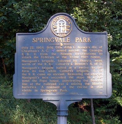
1. Springvale Park Marker
Manigault's brigade, followed by Sharp’s, were north of the R.R.; Coltart's & Benton’s S. of it.
Manigault’s brigade halted in a ravine to reform its line while Coltart’s brigade, S. of the R.R. came up abreast. Resuming the charge, Manigault’s men ascended the slope to & beyond the Pope house, penetrating the Federal line at the railroad cut & seizing the Illinois batteries. A remnant of the ravine is still visible in Springvale Park.
Erected 1956 by Georgia Historical Commission. (Marker Number 060-91.)
Topics and series. This historical marker is listed in this topic list: War, US Civil. In addition, it is included in the Georgia Historical Society series list. A significant historical date for this entry is July 22, 1908.
Location. 33° 45.39′ N, 84° 21.439′ W. Marker is in Atlanta, Georgia, in Fulton County. It is in Inman Park. It is at the intersection of Waverly Way and Edgewood Avenue, on the right when traveling north on Waverly Way. The
this page online

Regionally, this marker is in the Piedmont. It is also in the American South and specifically in the Deep South. Globally, it is in North America, the Western Hemisphere, the Western World, and the Anglosphere. Historically, it finds itself in what was once the territory of the Mississippian Culture, one of the original Thirteen Colonies, one of the Confederate States of America, and the Antebellum South.
Other nearby markers. At least 8 other markers are within walking distance of this marker: Brig. Gen. A. M. Manigault’s Brigade (a few steps from this marker); Brown’s & Clayton’s Divs. (about 700 feet away, measured in a direct line); Baker's Brigade (approx. 0.2 miles away); The Railroad Cut (approx. ¼ mile away); Site: The Pope House (approx. 0.3 miles away); The 15th Corps Sector (approx. 0.3 miles away); Manigault's Brigade (approx. 0.3
Photographed by David Seibert, September 10, 2010
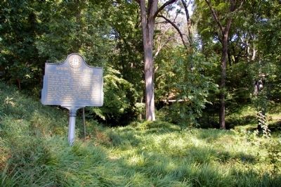
2. Springvale Park Marker
In Springvale Park
Photographed by David Seibert, September 10, 2010
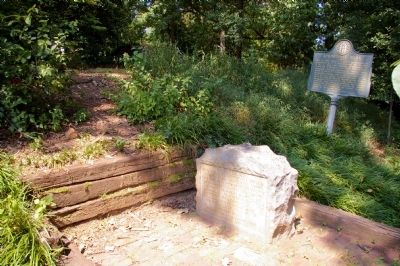
3. Springvale Park Marker
Waverly Way (street level) can just be seen up to the left
Photographed by David Seibert, September 10, 2010
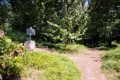
4. Springvale Park Marker
The trail on the right leads down to the ravine.
Credits. This page was last revised on February 8, 2023. It was originally submitted on September 12, 2010, by David Seibert of Sandy Springs, Georgia. This page has been viewed 2,022 times since then and 102 times this year. Photos: 1, 2, 3, 4. submitted on September 12, 2010, by David Seibert of Sandy Springs, Georgia. • Craig Swain was the editor who published this page.
