Grantsville in Garrett County, Maryland — The American Northeast (Mid-Atlantic)
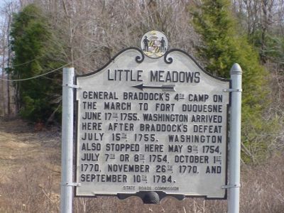
Little Meadows
Erected by State Roads Commission.
Topics and series. This historical marker is listed in these topic lists: Colonial Era • Forts and Castles • War, French and Indian. In addition, it is included in the Braddock’s Road and Maj. Gen. Edward Braddock, the Former U.S. Presidents: #01 George Washington, and the George Washington Slept Here series lists. A significant historical month for this entry is May 1842.
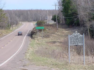
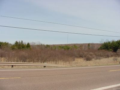
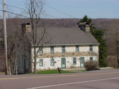
Location. 39° 41.505′ N, 79° 5.679′ W. Marker is in Grantsville, Maryland, in Garrett County. Marker is on National Pike (Alternate U.S. 40) east of Chestnut Ridge Road (U.S. 219), on the right when traveling east. From Interstate 68 take exit 22, U.S. 219 north, then turn left on Alt. US 40. Touch for map. Marker is in this post office area: Grantsville MD 21536, United States of America. Touch for directions.
Other nearby markers. At least 5 other markers are within 3 miles of this marker, measured as the crow flies. Crash of a United States B-52 Bomber (approx. 2.3 miles away); Stanton’s Mill (approx. 2.4 miles away); Bear Hill School (approx. 2˝ miles away); Site of the National Pike Blacksmith Shop (approx. 2˝ miles away); Yoder House (approx. 2˝ miles away). Touch for a list and map of all markers in Grantsville.
Additional keywords. National Road, Braddock's Road
Credits. This page was last revised on November 22, 2019. It was originally submitted on May 19, 2006, by J. J. Prats of Powell, Ohio. This page has been viewed 3,389 times since then and 79 times this year. Photos: 1, 2, 3, 4. submitted on May 19, 2006, by J. J. Prats of Powell, Ohio.


