Spencer in Van Buren County, Tennessee — The American South (East South Central)
Trail of Tears
Circa 1838
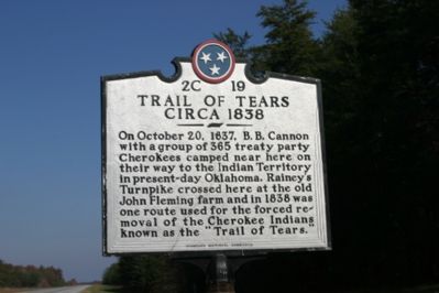
Photographed by R. E. Smith, November 7, 2007
1. Trail of Tears
Erected by Tennessee Historical Commission. (Marker Number 2C 19.)
Topics and series. This historical marker is listed in these topic lists: Indigenous Peoples and Communities • Notable Events. In addition, it is included in the Tennessee Historical Commission, and the Trail of Tears series lists. A significant historical month for this entry is October 1882.
Location. 35° 35.24′ N, 85° 28.247′ W. Marker is in Spencer, Tennessee, in Van Buren County. It is on Tennessee Route 111. Touch for map. Marker is in this post office area: Spencer TN 38585, United States of America. Touch for directions.

Regionally, this marker is in Tennessee’s Cumberland Plateau and in the Highland Rim. It is also in the American South, specifically in the Upper South, in Appalachia, and specifically
this page online
Other nearby markers. At least 8 other markers are within 11 miles of this marker, measured as the crow flies: Camp Forrest (here, next to this marker); Gilbert Gaul, Civil War Painter (approx. 7.2 miles away); Fall Creek Falls (approx. 8½ miles away); Burritt College (approx. 11 miles away); War on the Plateau (approx. 11 miles away); Van Buren County Civil War Monument (approx. 11.1 miles away); Van Buren County Veterans Memorial (approx. 11.1 miles away); Van Buren County Veterans Monument (approx. 11.1 miles away). Touch for a list and map of all markers in Spencer.
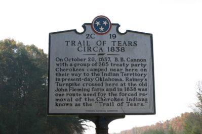
Photographed by R. E. Smith, November 7, 2007
2. Trail of Tears
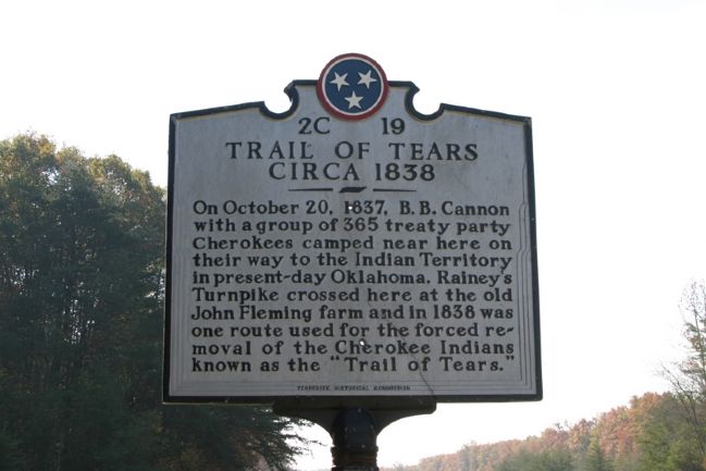
Photographed by R. E. Smith, November 7, 2007
3. Trail of Tears
Credits. This page was last revised on June 16, 2016. It was originally submitted on November 8, 2007, by R. E. Smith of Nashville, Tennessee. This page has been viewed 2,720 times since then and 62 times this year. Last updated on November 18, 2007, by R. E. Smith of Nashville, Tennessee. Photos: 1, 2, 3. submitted on November 8, 2007, by R. E. Smith of Nashville, Tennessee. • J. J. Prats was the editor who published this page.
