Near Ariton in Dale County, Alabama — The American South (East South Central)
Veterans Memorial Bridge - 1921
⎯⎯⎯
Grist Mill - Indian Battle - Recreation
Photographed by Sandra Hughes, July 12, 2011
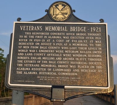
1. Veterans Memorial Bridge - 1921 Side of Marker
Veterans Memorial Bridge - 1921
This reinforced concrete river bridge, thought to be the first in Alabama. Was erected over Pea River in 1920-21 at a cost of $92,108.97. It was dedicated on August 3, 1921 as a memorial to the 57 men from Dale County who lost their lives in World War 1. Engineers were Mitcham, Keller, Smith and Land. County officials were Windham, Sessions, Roberts, Ziglar, Mullins and Archer. In 1977, through the efforts of the Dale County Historical Society, The Veterans Memorial Bridge was placed on the Alabama Register of Landmarks and Heritage by The Alabama Historical Commission.
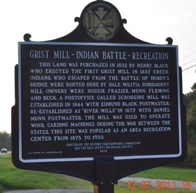
Grist Mill - Indian Battle - Recreation
This land was purchased in 1832 by Henry Black who erected the first grist mill. In 1837 Creek Indians who escaped from the Battle Of Hobdy's Bridge, were routed here by Dale Militia. Subsequent mill owners were Hough, Frazier, Munn, Fleming and Beck. A post office called Scroggins Mill was established in 1844 with Edmund Black Postmaster; re-established as "River Mills" in 1877 with Daniel Munn, Postmaster. The mill was used to operate wool carding machines during the War Between
this page online
Erected 1979 by Historic Chattahoochee Commission / Dale County Historical Society.
Topics. This historical marker is listed in these topic lists: Bridges & Viaducts • War, US Civil • War, World I • Wars, US Indian. A significant historical year for this entry is 1921.
Location. 31° 35.748′ N, 85° 47.026′ W. Marker is near Ariton, Alabama, in Dale County. It is on U.S. 231 north of State Road 123, on the right when traveling north. The marker is located at the Pea River Bridge between State Highway 123 and Dale County Road 82. Touch for map. Marker is in this post office area: Ariton AL 36311, United States of America. Touch for directions.

Regionally, this marker is in the American South, specifically in the Deep South, and in the Wiregrass. Globally, it is in North America, a Gulf of Mexico state, the Western Hemisphere, the Western World, and the Anglosphere. Historically, it finds itself in what was once the territory of the Mississippian Culture, one of the Confederate States of America, and the Antebellum South.
Other nearby markers. At
Photographed by Sandra Hughes, July 12, 2011
2. Grist Mill - Indian Battle - Recreation Side of Marker
New Markers
Photographed by Tim Carr
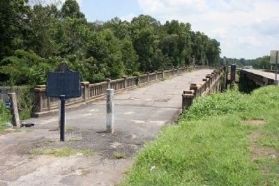
3. Veterans Memorial Bridge - 1921 / Grist Mill - Indian Battle - Recreation Marker
Photographed by Sandra Hughes, July 12, 2011
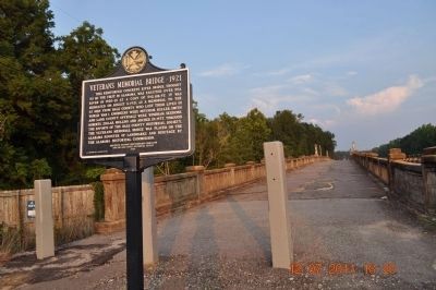
4. Veterans Memorial Bridge - 1921 / Grist Mill - Indian Battle - Recreation Marker
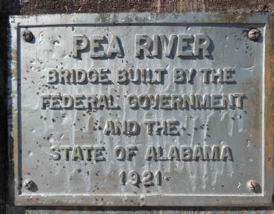
Photographed by Cosmos Mariner, May 24, 2013
5. Veterans Memorial Bridge placard
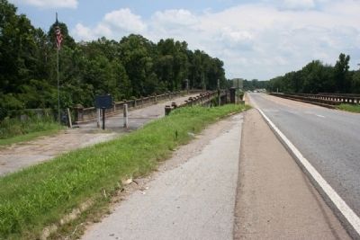
Photographed by Tim Carr, July 31, 2008
6. Veterans Memorial Bridge Next to U.S. Highway 231
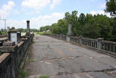
Photographed by Tim Carr, July 31, 2008
7. Veterans Memorial Bridge
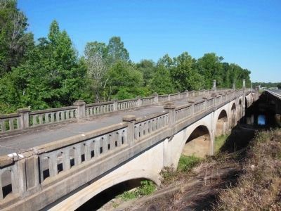
Photographed by Cosmos Mariner, May 24, 2013
8. Veterans Memorial Bridge
Credits. This page was last revised on January 5, 2023. It was originally submitted on February 26, 2010, by Timothy Carr of Birmingham, Alabama. This page has been viewed 12,144 times since then and 504 times this year. Last updated on October 4, 2010, by Lee Hattabaugh of Capshaw, Alabama. Photos: 1, 2. submitted on October 17, 2011, by Sandra Hughes Tidwell of Killen, Alabama, USA. 3. submitted on February 26, 2010, by Timothy Carr of Birmingham, Alabama. 4. submitted on October 17, 2011, by Sandra Hughes Tidwell of Killen, Alabama, USA. 5. submitted on October 16, 2013, by Cosmos Mariner of Cape Canaveral, Florida. 6, 7. submitted on February 26, 2010, by Timothy Carr of Birmingham, Alabama. 8. submitted on October 16, 2013, by Cosmos Mariner of Cape Canaveral, Florida. • Bill Pfingsten was the editor who published this page.
