Ellenwood in Clayton County, Georgia — The American South (South Atlantic)
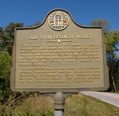
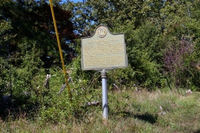
Old Stagecoach Road
In stagecoach days it was used from Decatur through Panthersville, Morrow, Jonesboro, and Fayetteville to Columbus. Early Georgia maps call this “Strawn's Road”. The section beyond the Flint River was known as “King’s Road”.
Erected 1993 by Georgia Department of Natural Resources. (Marker Number 031-1.)
Topics and series. This historical marker is listed in these topic lists: Native Americans • Roads & Vehicles. In addition, it is included in the Georgia Historical Society series list.
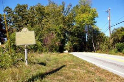
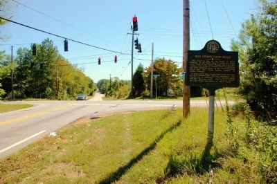
Location. 33° 36.68′ N, 84° 16.224′ W. Marker is in Ellenwood, Georgia, in Clayton County. Marker is at the intersection of Stagecoach Road and Panola Road, on the right when traveling south on Stagecoach Road. Touch for map. Marker is in this post office area: Ellenwood GA 30294, United States of America. Touch for directions.
Other nearby markers. At least 8 other markers are within 4 miles of this marker, measured as the crow flies. Melvinia Shields (approx. 1.3 miles away); March and Counter-march (approx. 2˝ miles away); McIntosh Gate (approx. 2.8 miles away); Wheeler Drive (approx. 2.8 miles away); Hardee Hall (approx. 2.8 miles away); Hood Avenue (approx. 2.8 miles away); Flankers Road (approx. 3.9 miles away); Fort Gillem (approx. 3.9 miles away).
More about this marker. This marker is a replacement for an earlier marker with the same title and similar text erected by the Georgia Historical Commission at this location, which had disappeared.
Credits. This page was last revised on August 16, 2017. It was originally submitted on October 9, 2010, by David Seibert of Sandy Springs, Georgia. This page has been viewed 1,288 times since then and 45 times this year. Photos: 1, 2, 3, 4. submitted on October 9, 2010, by David Seibert of Sandy Springs, Georgia. • Craig Swain was the editor who published this page.


