Bulltown in Braxton County, West Virginia — The American South (Appalachia)
Bulltown / Bulltown Battle
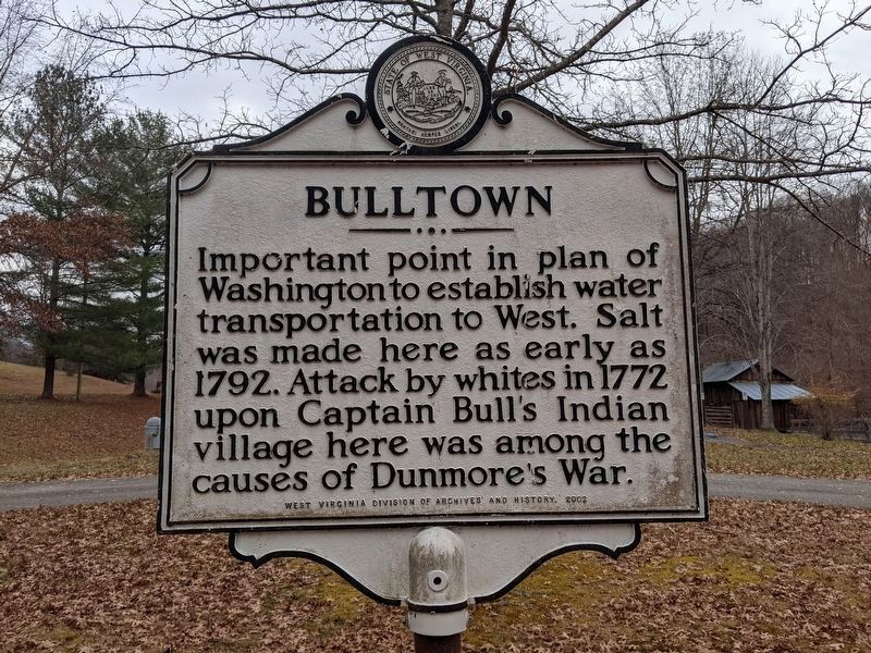
Bulltown. Important point in plan of Washington to establish water transportation to West. Salt was made here as early as 1792. Attack of whites in 1772 upon Captain Bull's Indian village here was among the causes of Dunmore's War.
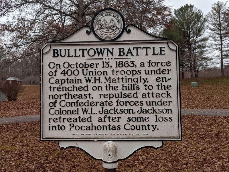
Bulltown Battle. On October 13, 1863, a force of 400 Union troops under Captain W. H. Mattingly, entrenched on the hills to the northeast, repulsed attack of Confederate forces under Colonel W. L. Jackson. Jackson retreated after some loss into Pocahontas County.
Erected 2002 by West Virginia Division of Archives and History.
Topics and series. This historical marker is listed in these topic lists: War, US Civil • Wars, US Indian. In addition, it is included in the West Virginia Archives and History series list. A significant historical month for this entry is October 1742.
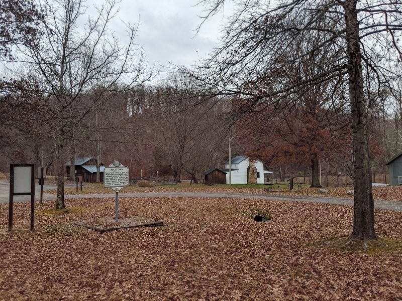
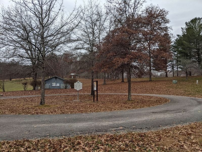
Location. 38° 47.594′ N, 80° 33.693′ W. Marker is in Bulltown, West Virginia, in Braxton County. Marker can be reached from Burnsville Lake Road. Marker has been moved to the Bulltown Historic Area. Touch for map. Marker is in this post office area: Napier WV 26631, United States of America. Touch for directions.
Other nearby markers. At least 8 other markers are within 4 miles of this marker, measured as the crow flies. Battle of Bulltown (within shouting distance of this marker); Food Cellar (within shouting distance of this marker); Coal-and-Wood House (within shouting distance of this marker); Spring House (within shouting distance of this marker); McCauley Barn (within shouting distance of this marker); Cunningham Farmstead (within shouting distance of this marker); Cunningham House (within shouting distance of this marker); Skirmish at Salt Lick Bridge (approx. 3.4 miles away).
Also see . . .
1. Lord Dunmore's War. Wikipedia entry (Submitted on April 14, 2023, by Larry Gertner of New York, New York.)
2. Battle of Bulltown. Wikipedia entry (Submitted on April 14, 2023, by Larry Gertner of New York, New York.)
Photographed By Mike Wintermantel, November 27, 2021
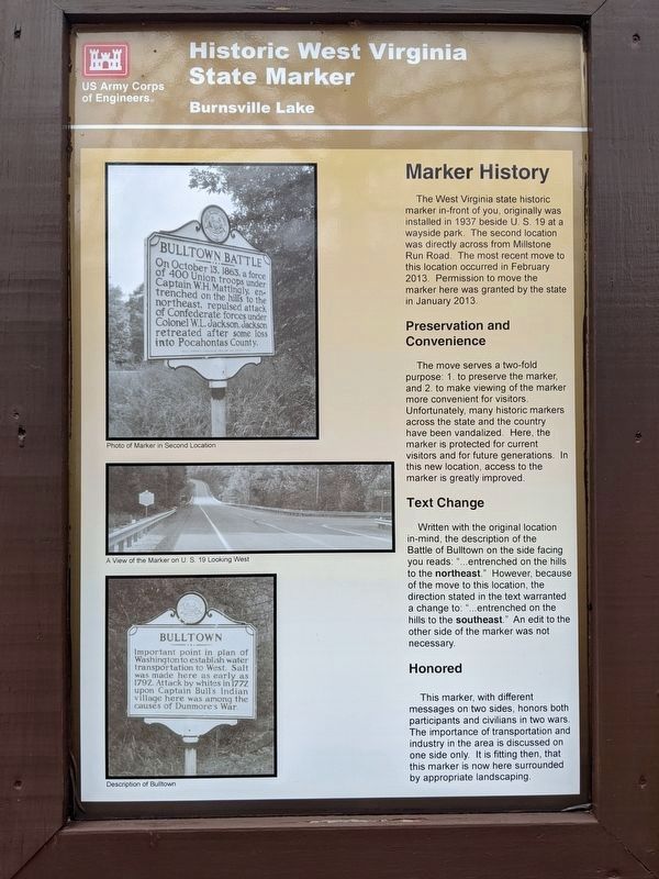
5. Historic West Virginia State Marker
Sign next to marker describing the move to new location
Marker History
The West Virginia historic marker in-front of you, originally was installed in 1937 beside U.S. 19 at a wayside park. The second location was directly across from Millstone Run Road. The most recent move to this location occurred in February 2013. Permission to move the marker here was granted by the state in January 2013.
Preservation and Conservation
The move serves a two-fold purpose: 1. to preserve the marker, and 2. to make viewing of the marker more convenient for visitors. Unfortunately, many historic markers across the state and the country have been vandalized. Here, the marker is protected for current visitors and for future generations. In this new location, access to the marker is greatly improved.
Text Change
Written with the original location in mind, the description of the Battle of Bulltown on the side facing you reads: "...entrenched on the hills to the northeast." However, because of the move to this location, the direction stated in the text to warranted a change to: "...entrenched on the hills to the southeast." An edit to the other side of the marker was not necessary.
Honored
This marker, with different messages on two sides, honors both participants and civilians in two wars. The importance of transportation and industry in the area is discussed on one side only. It is fitting then, that this marker is now here surrounded by appropriate landscaping.
Credits. This page was last revised on April 14, 2023. It was originally submitted on October 18, 2010, by Mike Stroud of Bluffton, South Carolina. This page has been viewed 1,597 times since then and 61 times this year. Photos: 1, 2, 3, 4, 5. submitted on November 27, 2021, by Mike Wintermantel of Pittsburgh, Pennsylvania.
