Murfreesboro in Rutherford County, Tennessee — The American South (East South Central)
Stones River
Inscription.
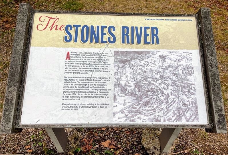
A tributary of the Stones River is named after Uriah Stone, an early explorer and long hunter. For centuries, the Stones River has played an important role in the lives of area inhabitants, first as an important fishing and hunting ground for Native Americans, and later as the safest mode of transportation for early pioneers. In the late 1830s, better roads, and later the railroad, led to a decline in the use of the river for transportation, but it remained an important source of power for grist and saw mills.
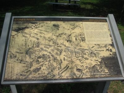
The great armies clashed at Stones River on December 31, 1862, fighting for control of Middle Tennessee's railroads and rich farms. The engagement was the first major battle in the Union campaign to split the Confederacy, driving along the line of the railroad from Nashville through Chattanooga to Atlanta. The campaign ended with Sherman's march to the sea and capture of Savannah in December 1864. But in order for the Union's campaign to begin successfully, the Stones River barrier had to be crossed and secured.
After preliminary skirmishes, including action at Harker's Crossing, the Battle of Stones River began at dawn on December 31, 1862.
Erected by Stones River Greenway - Murfreesboro Greenway System.
Topics. This historical marker is listed in these topic lists: Settlements & Settlers • War, US Civil • Waterways & Vessels. A significant historical month for this entry is December 1902.
Location. 35° 52.11′ N, 86° 25.051′ W. Marker is in Murfreesboro, Tennessee, in Rutherford County. Marker is on West College Street, on the right when traveling north. Located along the Stones River Greenway Trail System park, just south from the Bragg Trailhead. Touch for map. Marker is in this post office area: Murfreesboro TN 37129, United States of America. Touch for directions.
Other nearby markers. At least 8 other markers are within walking distance of this marker. Headquarters (about 500 feet away, measured in a direct line); Battle at Stones River (about 600 feet away); Bragg's Headquarters (about 800 feet away); Army of the Cumberland (approx. 0.3 miles away); Murfreesboro/Rutherford County (approx. 0.4 miles away); Chalmers’ Brigade at Murfreesboro (approx. 0.6 miles away); Donelson’s Brigade at Murfreesboro (approx. 0.6 miles away); a different marker also named Battle at Stones River (approx. 0.6 miles away). Touch for a list and map of all markers in Murfreesboro.
Credits. This page was last revised on March 16, 2021. It was originally submitted on November 7, 2010, by Craig Swain of Leesburg, Virginia. This page has been viewed 1,024 times since then and 22 times this year. Photos: 1. submitted on November 7, 2010, by Craig Swain of Leesburg, Virginia. 2. submitted on March 14, 2021, by Shane Oliver of Richmond, Virginia. 3. submitted on November 7, 2010, by Craig Swain of Leesburg, Virginia.


