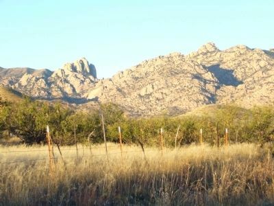
Near Elfrida in Cochise County, Arizona — The American Mountains (Southwest)
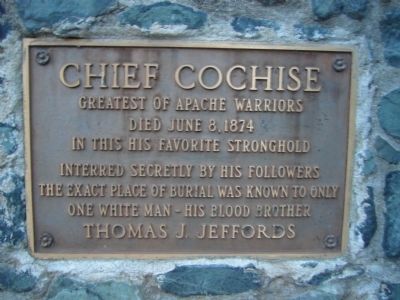
Chief Cochise
Died June 8, 1874
In this his favorite stronghold
Interred secretly by his followers
The exact place of burial was known to only
One white man – his blood brother
Thomas J. Jeffords
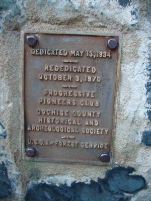
Erected 1934 by Progressive Pioneers Club, Cochise County Historical & Archeological Society, and US Forest Service.
Topics. This historical marker is listed in these topic lists: Native Americans • Wars, US Indian. A significant historical month for this entry is June 1862.
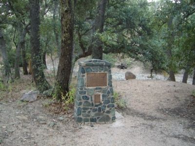
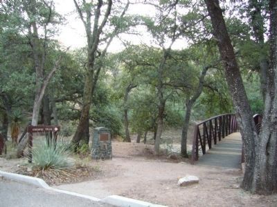
Location. 31° 55.337′ N, 109° 58.042′ W. Marker is near Elfrida, Arizona, in Cochise County. Marker can be reached from Ironwood Road. Marker is at the Cochise Stronghold Campground, 9 miles east of US-191 on Ironwood Road. Touch for map. Marker is in this post office area: Pearce AZ 85625, United States of America. Touch for directions.
Other nearby markers. At least 8 other markers are within 16 miles of this marker, measured as the crow flies. Dragoon Springs Stage Stop (approx. 6.1 miles away); Confederate Graves at Dragoon Springs (approx. 6.2 miles away); Old Pearce Post Office (approx. 8.7 miles away); Texas Canyon Pioneer Cemetery (approx. 10.3 miles away); Sulphur Springs (approx. 10.7 miles away); Four miles southeast at Council Rocks (approx. 11.4 miles away); Veterans Pioneers Settlers (approx. 15.3 miles away); Boothill Graveyard (approx. 15.3 miles away).
Credits. This page was last revised on July 26, 2018. It was originally submitted on November 10, 2010, by Bill Kirchner of Tucson, Arizona. This page has been viewed 2,158 times since then and 70 times this year. Photos: 1, 2, 3, 4, 5. submitted on November 10, 2010, by Bill Kirchner of Tucson, Arizona. • Syd Whittle was the editor who published this page.
