Attalla in Etowah County, Alabama — The American South (East South Central)
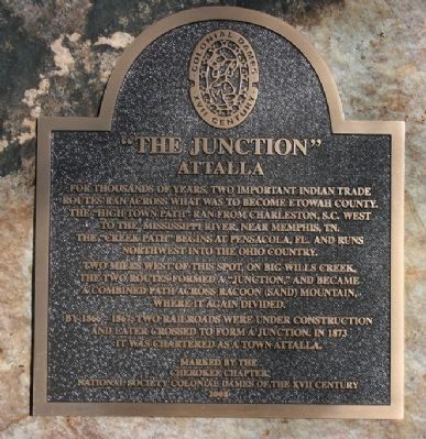
“The Junction”
Attalla
Two miles west of this spot, on Big Wills Creek, the two routes formed a “Junction,” and became a combined path across Racoon (Sand) Mountain, where it again divided.
By 1866-1867, two railroads were under construction and later crossed to form a junction. In 1873 it was chartered as a Town Attalla.
Erected 2008 by Cherokee Chapter National Society Colonial Dames of the XVII Century.
Topics and series. This historical marker is listed in these topic lists: Native Americans • Railroads & Streetcars • Roads & Vehicles. In addition, it is included in the The Colonial Dames XVII Century, National Society series list. A significant historical year for this entry is 1873.
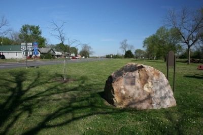
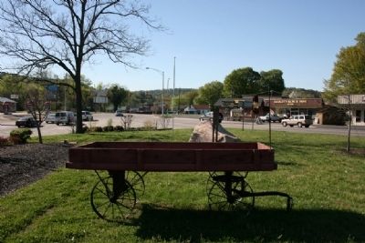
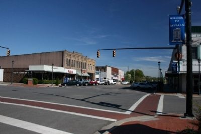
Location. 34° 1.156′ N, 86° 5.127′ W. Marker is in Attalla, Alabama, in Etowah County. Marker is at the intersection of 5th Avenue Northeast (U.S. 431) and Cleveland Avenue, on the right when traveling south on 5th Avenue Northeast. Touch for map . Marker is in this post office area: Attalla AL 35954, United States of America. Touch for directions.
Other nearby markers. At least 8 other markers are within 3 miles of this marker, measured as the crow flies. Camp Wills (here, next to this marker); Electricity for the City of Attalla (approx. 0.3 miles away); First United Methodist Church Of Attalla (approx. 0.3 miles away); William Patrick Lay (approx. 1.8 miles away); Camp Sibert (approx. 1.9 miles away); Alabama City, Alabama (approx. 2.3 miles away); Alabama City World War II Veterans Monument (approx. 2.3 miles away); Dwight Mill Village (approx. 2.3 miles away). Touch for a list and map of all markers in Attalla.
Credits. This page was last revised on June 16, 2016. It was originally submitted on December 21, 2010, by Timothy Carr of Birmingham, Alabama. This page has been viewed 1,651 times since then and 67 times this year. Photos: 1, 2, 3, 4. submitted on December 21, 2010, by Timothy Carr of Birmingham, Alabama. • Syd Whittle was the editor who published this page.


