Grand Canyon National Park in Coconino County, Arizona — The American Mountains (Southwest)
Bright Angel Trail
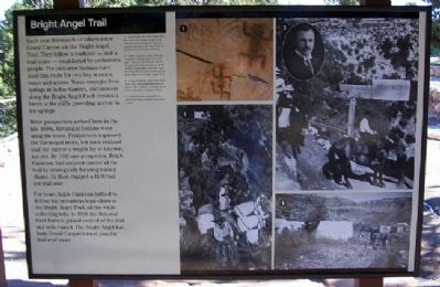
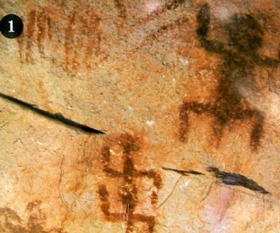
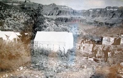
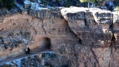
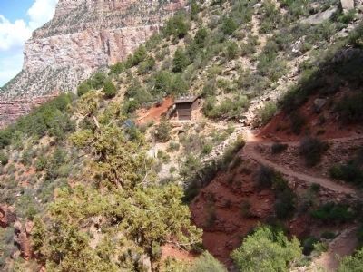
Each year thousands of hikers enter Grand Canyon on the Bright Angel Trail. They follow a tradition - and a trail route - established by prehistoric people. For centuries humans have used this route for two key reasons: water and access. Water emerges from springs at Indian Garden, and erosion along the Bright Angel Fault creates a break in the cliffs, providing access to the springs.
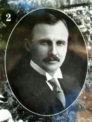
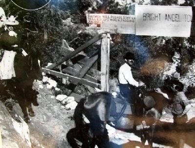
When prospectors arrived here in the late 1800s, Havasupai Indians were using the route. Prospectors improved the Havasupai route, but soon realized that the canyon's wealth lay in tourism, not ore. By 1903 one prospector, Ralph Cameron, had secured control of the trail by strategically locating mining claims. He then charged a $1.00 toll per trail user.
For years Ralph Cameron battled to defend his precarious legal claim to the Bright Angel Trail, all the while collecting tolls. In 1928 the National Park Service gained control of the trail and tolls ceased. The Bright Angel has been Grand Canyon's most popular trail ever since.
Erected by National Park Service.
Topics. This historical marker is listed in these topic lists: Environment • Exploration • Native Americans • Roads & Vehicles. A significant historical year for this entry is 1903.
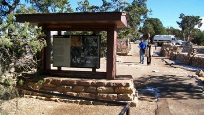
Location. 36° 3.437′ N, 112° 8.627′ W. Marker is in Grand Canyon National Park, Arizona, in Coconino County. Marker is near the mule corral, along the South Rim walkway, about 750 feet west of Bright Angel Lodge, off Village Loop Drive in Grand Canyon Village. Touch for map. Marker is in this post office area: Grand Canyon AZ 86023, United States of America. Touch for directions.
Other nearby markers. At least 8 other markers are within walking distance of this marker. Mules and the Canyon (here, next to this marker); Grand Canyon Village (within shouting distance of this marker); Hermit Road (about 300 feet away, measured in a direct line); Bright Angel Cabin 88 & 89 (about 300 feet away); Kolb Studio (about 400 feet away); Historic Kolb Studio (about 500 feet away); Buckey O'Neill Cabin (approx. 0.2 miles away); Lookout Studio (approx. 0.2 miles away). Touch for a list and map of all markers in Grand Canyon National Park.
Also see . . .
1. Bright Angel Trail. (Submitted on January 8, 2011, by William Fischer, Jr. of Scranton, Pennsylvania.)
2. Bright Angel Trail Day Hike. (Submitted on January 8, 2011, by William Fischer, Jr. of Scranton, Pennsylvania.)
Credits. This page was last revised on July 26, 2018. It was originally submitted on January 8, 2011, by William Fischer, Jr. of Scranton, Pennsylvania. This page has been viewed 1,309 times since then and 42 times this year. Photos: 1, 2, 3, 4, 5, 6, 7, 8. submitted on January 8, 2011, by William Fischer, Jr. of Scranton, Pennsylvania. 9. submitted on January 10, 2011, by Bill Kirchner of Tucson, Arizona.
