Vicksburg in Warren County, Mississippi — The American South (East South Central)
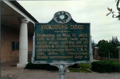
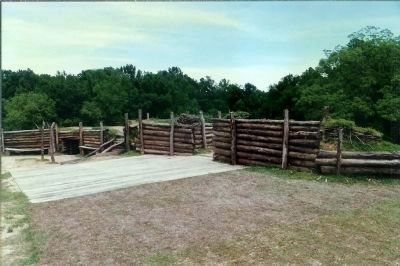
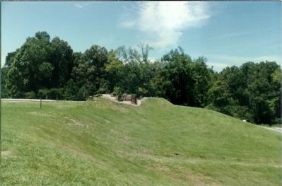
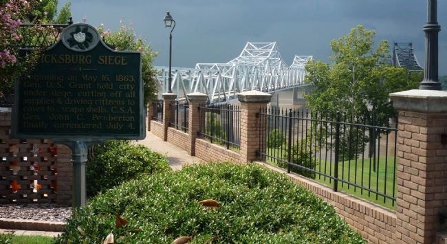
Vicksburg Siege
Erected by Mississippi Historical Commission.
Topics and series. This historical marker is listed in these topic lists: Notable Events • War, US Civil. In addition, it is included in the Former U.S. Presidents: #18 Ulysses S. Grant, and the Mississippi State Historical Marker Program series lists. A significant historical month for this entry is May 1898.
Location. 32° 18.706′ N, 90° 54.021′ W. Marker is in Vicksburg, Mississippi, in Warren County. Marker can be reached from South Washington Street / Warrenton Road (U.S. 61) north of I-20 Frontage Road (Interstate 20). Marker is at the northeast corner of the Mississippi State Welcome Center - on the walkway off the Welcome Center parking lot. Touch for map. Marker is at or near this postal address: 4210 South Washington Street, Vicksburg MS 39183, United States of America. Touch for directions.
Other nearby markers. At least 8 other markers are within walking distance of this marker. Mississippi (here, next to this marker); U.S. Battery Benton. (about 300 feet away, measured in a direct line); Gibraltar of the Confederacy (about 400 feet away); Iowa (approx. 0.3 miles away); C.S. Company G, (approx. 0.3 miles away); C.S. Company A, (approx. 0.3 miles away); C.S. Company C, (approx. 0.3 miles away); C.S. Company I, (approx. 0.3 miles away). Touch for a list and map of all markers in Vicksburg.
Credits. This page was last revised on June 16, 2016. It was originally submitted on March 5, 2008, by Mike Stroud of Bluffton, South Carolina. This page has been viewed 2,303 times since then and 21 times this year. Last updated on January 8, 2011, by Richard E. Miller of Oxon Hill, Maryland. Photos: 1, 2, 3. submitted on March 5, 2008, by Mike Stroud of Bluffton, South Carolina. 4, 5. submitted on January 8, 2011, by Richard E. Miller of Oxon Hill, Maryland.
