Bucktown in Dorchester County, Maryland — The American Northeast (Mid-Atlantic)
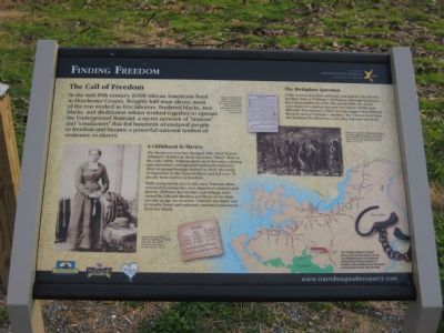
Finding Freedom
The Call of Freedom
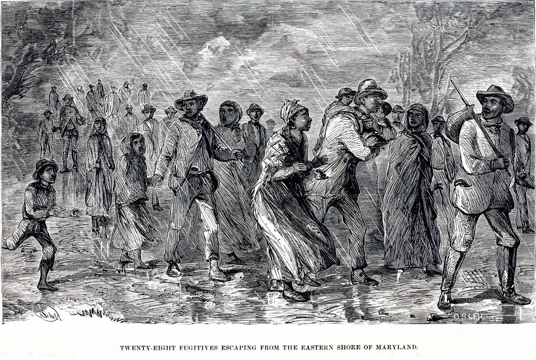
In the mid-19th century, 8,000 African Americans lived in Dorchester County. Roughly half were slaves; most of the rest worked as free laborers. Enslaved blacks, free blacks, and abolitionist whites worked together to operate the Underground Railroad, a secret network of "stations" and "conductors" that led hundreds of enslaved people to freedom and became a powerful national symbol of resistance to slavery.
A Childhood in Slavery
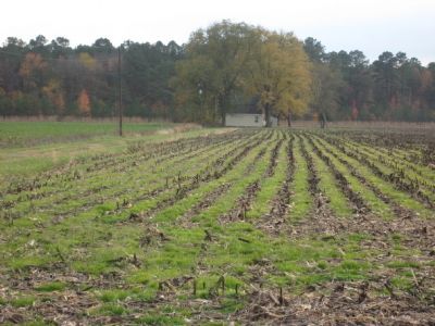
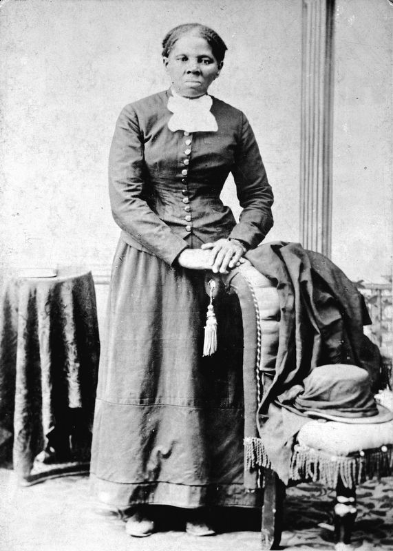
The Bucktown area has changed little since Harriet Tubman's childhood. Born Araminta "Minty" Ross in the early 1820s, Tubman grew up to become a daring and successful Underground Railroad conductor. After escaping bondage herself in 1849, she made 13 trips back to the Eastern Shore and led over 70 people from slavery to freedom
With strong family ties in this area, Tubman often returned to rescue her own cherished relatives and friends. Tubman, her mother and siblings were owned by Edward Brodess and lived on his farm. As early as age six or seven, Tubman was hired out to nearby farms and endured extended separations from her family.
The Birthplace Question
Some written accounts and local oral history identify the Brodess farm as Tubman's birthplace although historians have not been able to verify the actual birth site. Such uncertainty is common because few slaves' births were officially documented. Other records suggest that Edward Brodess moved Tubman's mother, "Rit" Green, here from the Madison/Woolford area just after Tubman's birth.
Erected by Chesapeake Bay Gateways Network.
Topics and series. This historical marker is listed in these topic lists: Abolition & Underground RR • African Americans • Women. In addition, it is included in the National Underground Railroad Network to Freedom series list. A significant historical year for this entry is 1849.
Location. 38° 27.538′ N, 76° 2.916′ W. Marker is in Bucktown, Maryland, in Dorchester County. Marker is on Greenbrier Road, one mile west of Bestpitch Ferry Road, on the left when traveling west. Touch for map. Marker is in this post office area: Cambridge MD 21613, United States of America. Touch for directions.
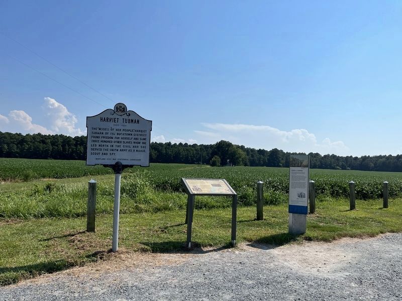
Other nearby markers. At least 8 other markers are within 4 miles of this marker, measured as the crow flies. Brodess Farm (a few steps from this marker); Harriet Tubman (a few steps from this marker); Resistance (approx. 0.9 miles away); Pool One at Wildlife Drive (approx. 2.6 miles away); The American Bald Eagle (approx. 2.8 miles away); The Chesapeake Bay Ecosystem (approx. 2.8 miles away); Muskrat and Nutria (approx. 2.8 miles away); Delmarva Peninsula Fox Squirrel (approx. 3.2 miles away). Touch for a list and map of all markers in Bucktown.
Credits. This page was last revised on February 19, 2024. It was originally submitted on December 4, 2007, by F. Robby of Baltimore, Maryland. This page has been viewed 2,357 times since then and 14 times this year. Photos: 1. submitted on December 4, 2007, by F. Robby of Baltimore, Maryland. 2. submitted on August 31, 2022, by Devry Becker Jones of Washington, District of Columbia. 3. submitted on December 4, 2007, by F. Robby of Baltimore, Maryland. 4, 5. submitted on January 29, 2018, by Allen C. Browne of Silver Spring, Maryland.
