Salisbury in Wicomico County, Maryland — The American Northeast (Mid-Atlantic)
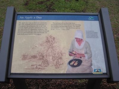
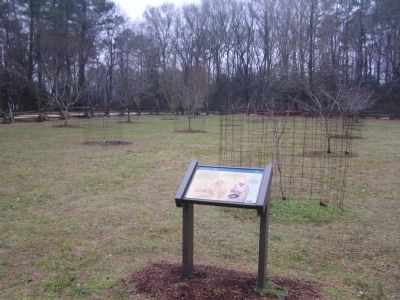
An Apple a Day
Pemberton Hall Historic Trail
Erected by Wicomico County Parks & Tourism, Chesapeake Bay Gateways Network.
Topics. This historical marker is listed in these topic lists: Agriculture • Colonial Era.
Location. 38° 20.8′ N, 75° 38.733′ W. Marker is in Salisbury, Maryland, in Wicomico County. Marker can be reached from Pemberton Historic Park Road, 0.4 miles Pemberton Drive. Marker located within Pemberton Park. Touch for map. Marker is in this post office area: Salisbury MD 21801, United States of America. Touch for directions.
Other nearby markers. At least 8 other markers are within walking distance of this marker. Wicomico Wetlands (within shouting distance of this marker); The Original Residents (within shouting distance of this marker); Nature's Pasture (about 300 feet away, measured in a direct line); A Water Connection (about 300 feet away); Pemberton Hall (about 400 feet away); A Show of Wealth (about 400 feet away); A Drop to Drink (about 500 feet away); The "Peculiar Institution" at Pemberton Plantation (about 600 feet away). Touch for a list and map of all markers in Salisbury.
Credits. This page was last revised on June 16, 2016. It was originally submitted on January 22, 2011, by Nathan Davidson of Salisbury, Maryland. This page has been viewed 502 times since then and 11 times this year. Photos: 1, 2. submitted on January 22, 2011, by Nathan Davidson of Salisbury, Maryland. • Bill Pfingsten was the editor who published this page.

